< STS034-72-84 >
| NASA Photo ID | STS034-72-84 |
| Focal Length | 250mm |
| Date taken | 1989.10.__ |
| Time taken | GMT |

Cloud masks available for this image:
Spacecraft nadir point:
Photo center point: 34.0° N, 8.5° E
Photo center point by machine learning:
Photo center point: 34.0° N, 8.5° E
Photo center point by machine learning:
Nadir to Photo Center:
Spacecraft Altitude: nautical miles (0km)
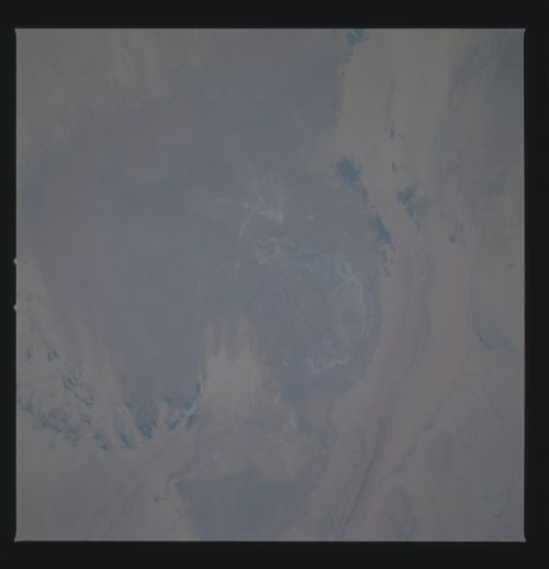
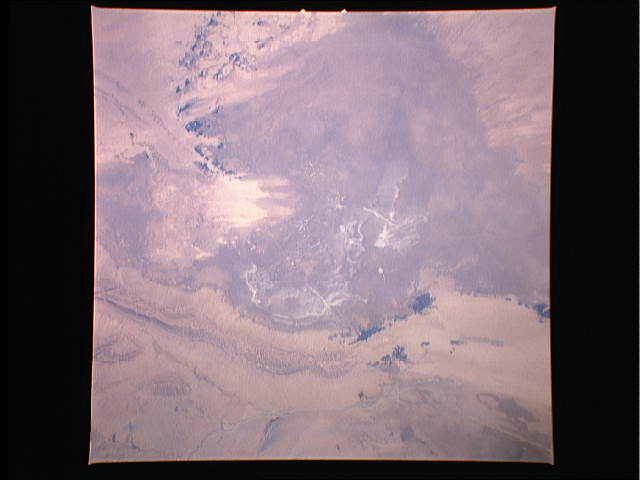
Country or Geographic Name: | TUNISIA |
Features: | CHOTT DJERID, DESERT |
| Features Found Using Machine Learning: | |
Cloud Cover Percentage: | 0 (no clouds present) |
Sun Elevation Angle: | ° |
Sun Azimuth: | ° |
Camera: | Hasselblad |
Focal Length: | 250mm |
Camera Tilt: | Low Oblique |
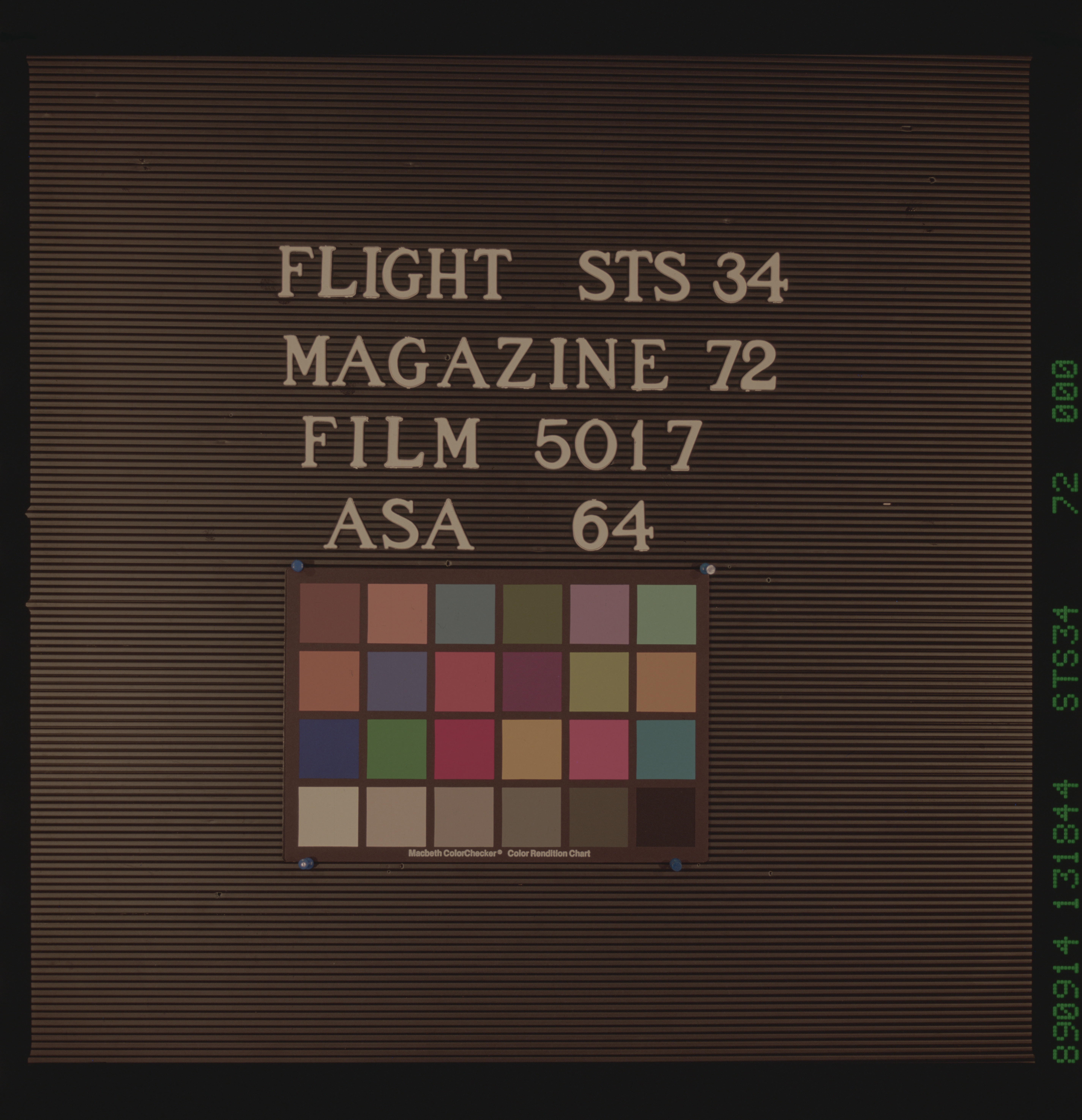
Format: | 5017: Kodak, natural color positive, Ektachrome, X Professional, ASA 64, standard base |
Film Exposure: | Normal |
| Additional Information | |
| Width | Height | Annotated | Cropped | Purpose | Links |
|---|---|---|---|---|---|
| 5700 pixels | 5900 pixels | No | No | Download Image Download Color Calibration Image for this Image |
|
| 500 pixels | 518 pixels | No | No | Download Image Download Color Calibration Image for this Image |
|
| 640 pixels | 480 pixels | No | No | Download Image |
Download Packaged File
Download a Google Earth KML for this Image
View photo footprint information
No GeoTIFF is available for this photo.Image Caption:
Chott Djerid. This is the largest chott in the series of chotts
on the southern margin of the Atlas Mts. Its north-south dimen-
sion, seen here, is about 100 miles. On the floor of the chott
salt deposits are greyish, organic matter gives the darker pat-
terns, and sand dunes and wind streaks can are the lightest yel-
lows. A road can be seen crossing the floor. An eastern exten-
sion of this chott may once have acted as an arm (out of this
picture left) of the Mediterranean Sea about 100 miles away.
(S34-72-084)
