< STS094-748-83 >
| NASA Photo ID | STS094-748-83 |
| Focal Length | 250mm |
| Date taken | 1997.07.__ |
| Time taken | GMT |
Resolutions offered for this image:
4067 x 4091 pixels 636 x 640 pixels 5700 x 5900 pixels 483 x 500 pixels 4802 x 4760 pixels 636 x 622 pixels
4067 x 4091 pixels 636 x 640 pixels 5700 x 5900 pixels 483 x 500 pixels 4802 x 4760 pixels 636 x 622 pixels
Cloud masks available for this image:
Spacecraft nadir point:
Photo center point: 29.0° S, 137.5° E
Photo center point by machine learning:
Photo center point: 29.0° S, 137.5° E
Photo center point by machine learning:
Nadir to Photo Center:
Spacecraft Altitude: nautical miles (0km)
Country or Geographic Name: | AUSTRALIA-SA |
Features: | LAKE EYRE |
| Features Found Using Machine Learning: | |
Cloud Cover Percentage: | 0 (no clouds present) |
Sun Elevation Angle: | ° |
Sun Azimuth: | ° |
Camera: | Hasselblad |
Focal Length: | 250mm |
Camera Tilt: | Low Oblique |
Format: | 5069: Kodak Elite 100S, E6 Reversal, Replaces Lumiere, Warmer in tone vs. Lumiere |
Film Exposure: | Normal |
| Additional Information | |
| Width | Height | Annotated | Cropped | Purpose | Links |
|---|---|---|---|---|---|
| 4067 pixels | 4091 pixels | No | No | Earth From Space collection | Download Image |
| 636 pixels | 640 pixels | No | No | Earth From Space collection | Download Image |
| 5700 pixels | 5900 pixels | No | No | Download Image Download Color Calibration Image for this Image |
|
| 483 pixels | 500 pixels | No | No | Download Image Download Color Calibration Image for this Image |
|
| 4802 pixels | 4760 pixels | Download Image | |||
| 636 pixels | 622 pixels | No | No | Download Image |
Download Packaged File
Download a Google Earth KML for this Image
View photo footprint information
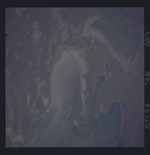
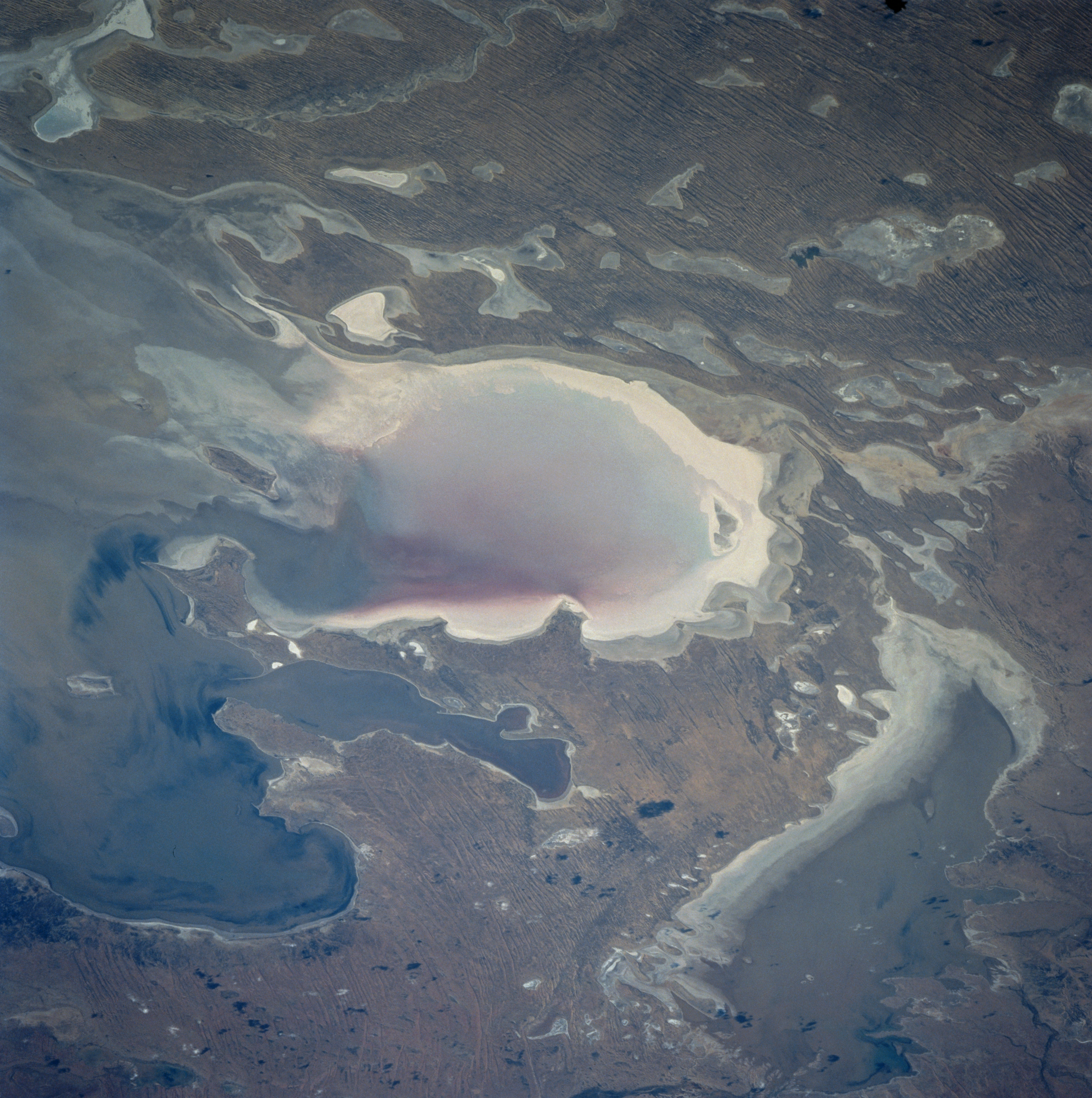
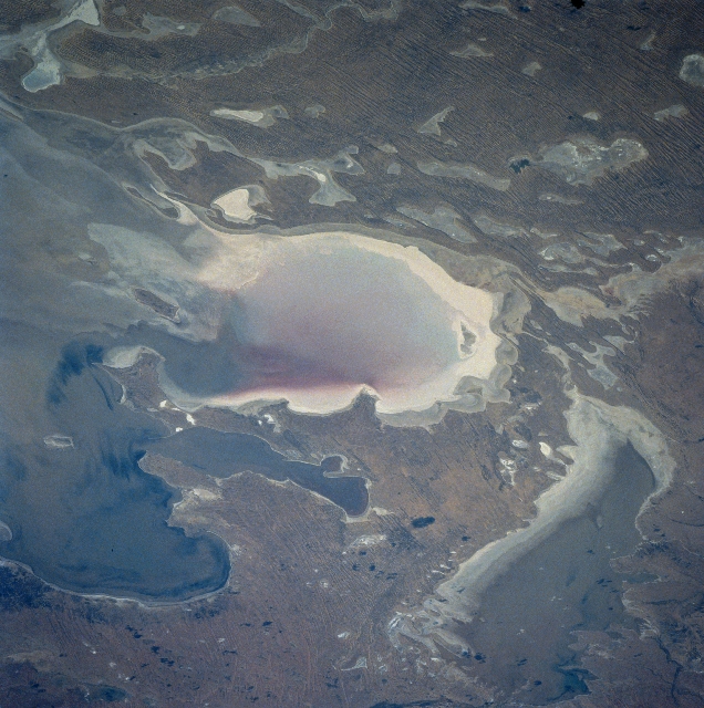
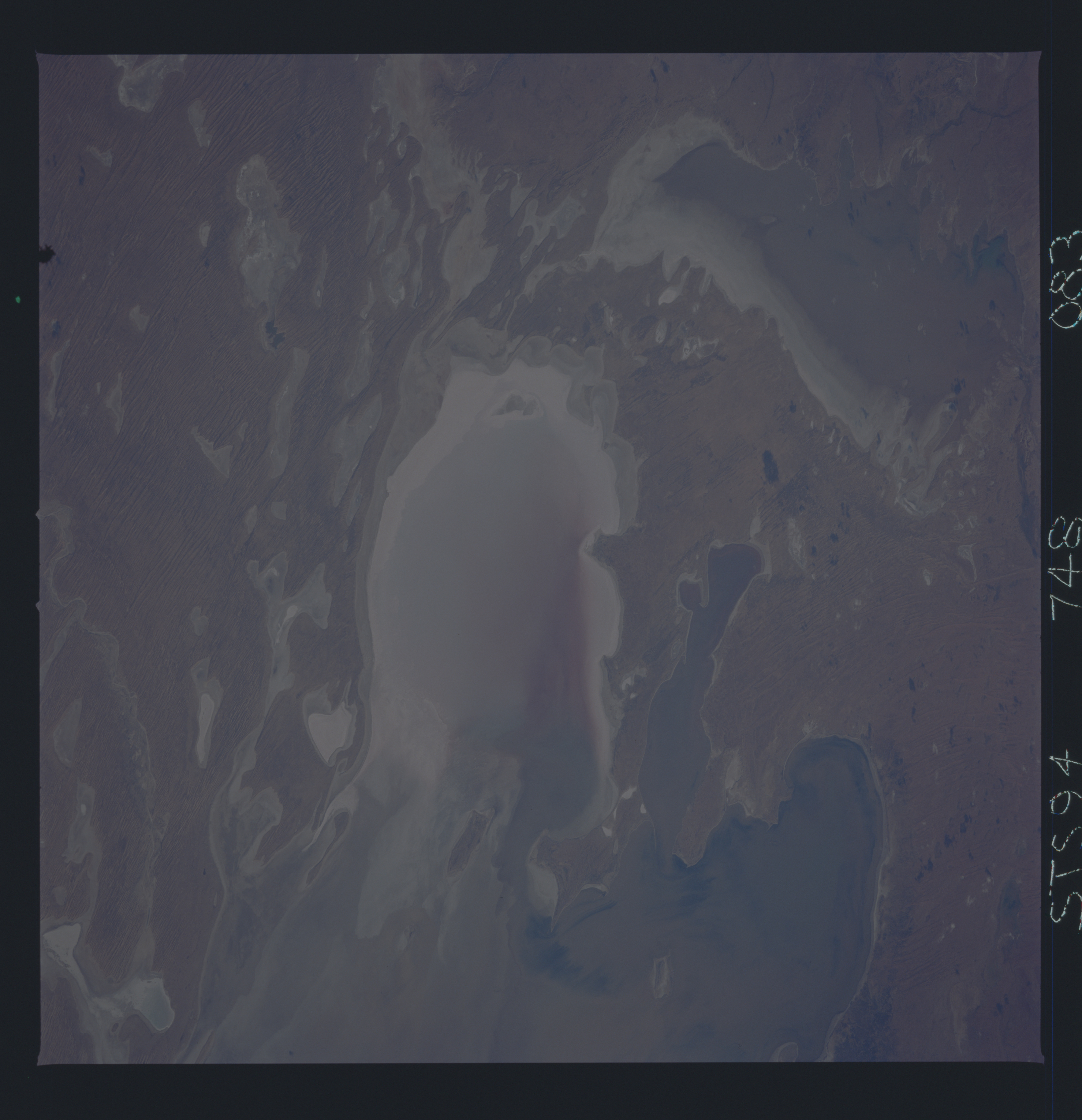
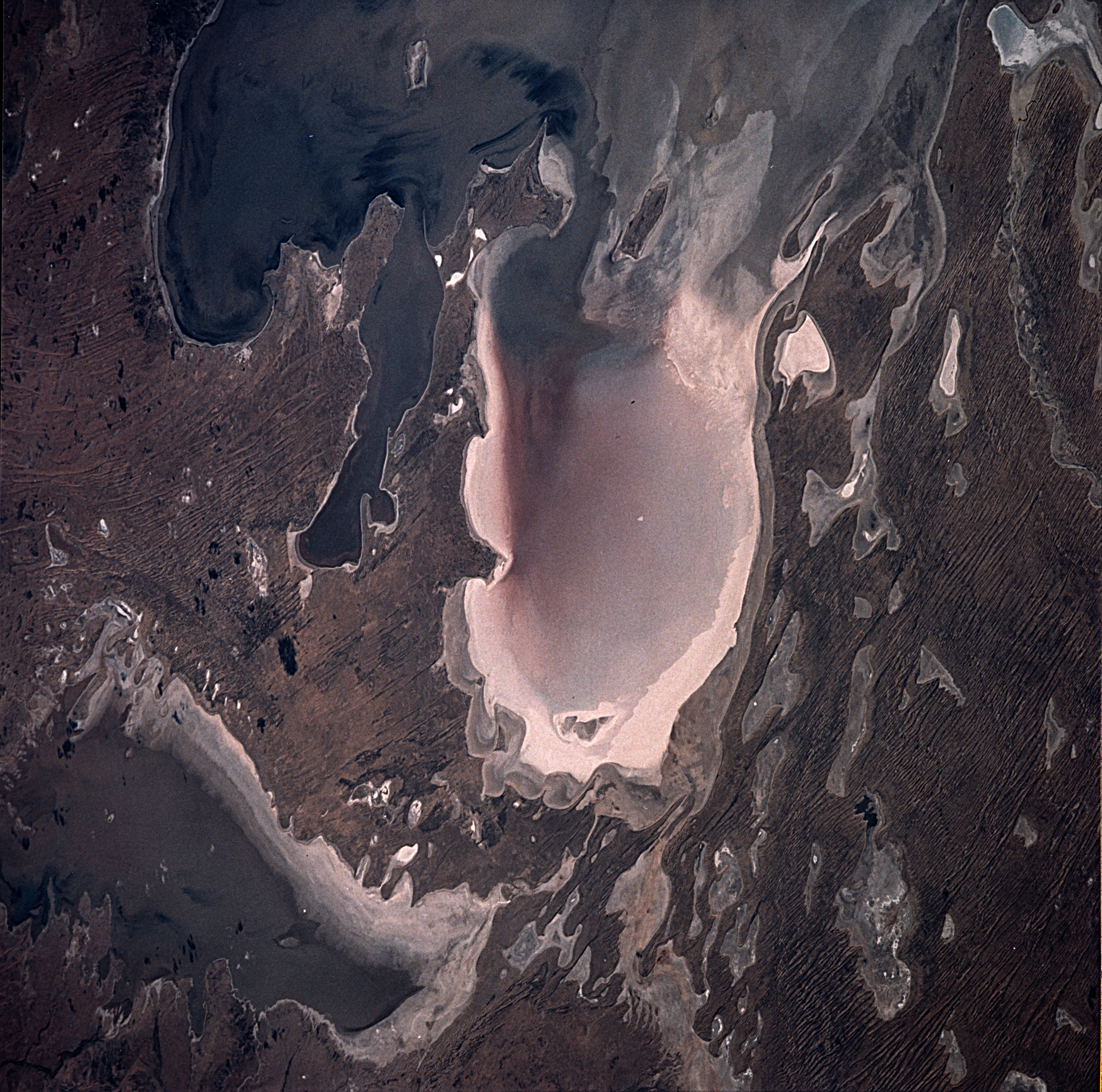
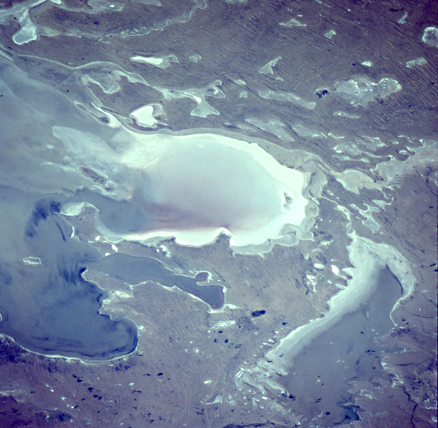
No GeoTIFF is available for this photo.Image Caption: STS094-748-083 Lake Eyre, South Australia, Australia July 1997
A large section of the southern end of the Lake Eyre Basin that is located near the northeastern corner of South Australia is visible in this low oblique, northeasterly view. The image presents a rare view of Lake Eyre when such a large quantity of standing water can be seen in the basin, especially the southern basin (lower right corner). The three separate bays of the larger north basin show varying amounts of water in them. From west to east these bays are Belt Bay (westernmost, lower left); Jackboot Bay (small, elongated feature); and Madigan Bay (easternmost bay, ringed by highly reflective surface). The darker surfaces represent standing water. Many irregular-shaped, dry lakes (lighter-colored features) can be discriminated east of Madigan Bay.
A large section of the southern end of the Lake Eyre Basin that is located near the northeastern corner of South Australia is visible in this low oblique, northeasterly view. The image presents a rare view of Lake Eyre when such a large quantity of standing water can be seen in the basin, especially the southern basin (lower right corner). The three separate bays of the larger north basin show varying amounts of water in them. From west to east these bays are Belt Bay (westernmost, lower left); Jackboot Bay (small, elongated feature); and Madigan Bay (easternmost bay, ringed by highly reflective surface). The darker surfaces represent standing water. Many irregular-shaped, dry lakes (lighter-colored features) can be discriminated east of Madigan Bay.
