< STS081-717-83 >
| NASA Photo ID | STS081-717-83 |
| Focal Length | 250mm |
| Date taken | 1997.01.14 |
| Time taken | 09:53:00 GMT |
Resolutions offered for this image:
5700 x 5900 pixels 483 x 500 pixels 2564 x 2587 pixels 644 x 637 pixels 644 x 637 pixels
5700 x 5900 pixels 483 x 500 pixels 2564 x 2587 pixels 644 x 637 pixels 644 x 637 pixels

Cloud masks available for this image:
Spacecraft nadir point: 31.1° N, 28.7° E
Photo center point: 31.0° N, 30.0° E
Photo center point by machine learning:
Photo center point: 31.0° N, 30.0° E
Photo center point by machine learning:
Nadir to Photo Center: East
Spacecraft Altitude: 202 nautical miles (374km)
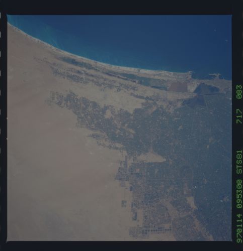
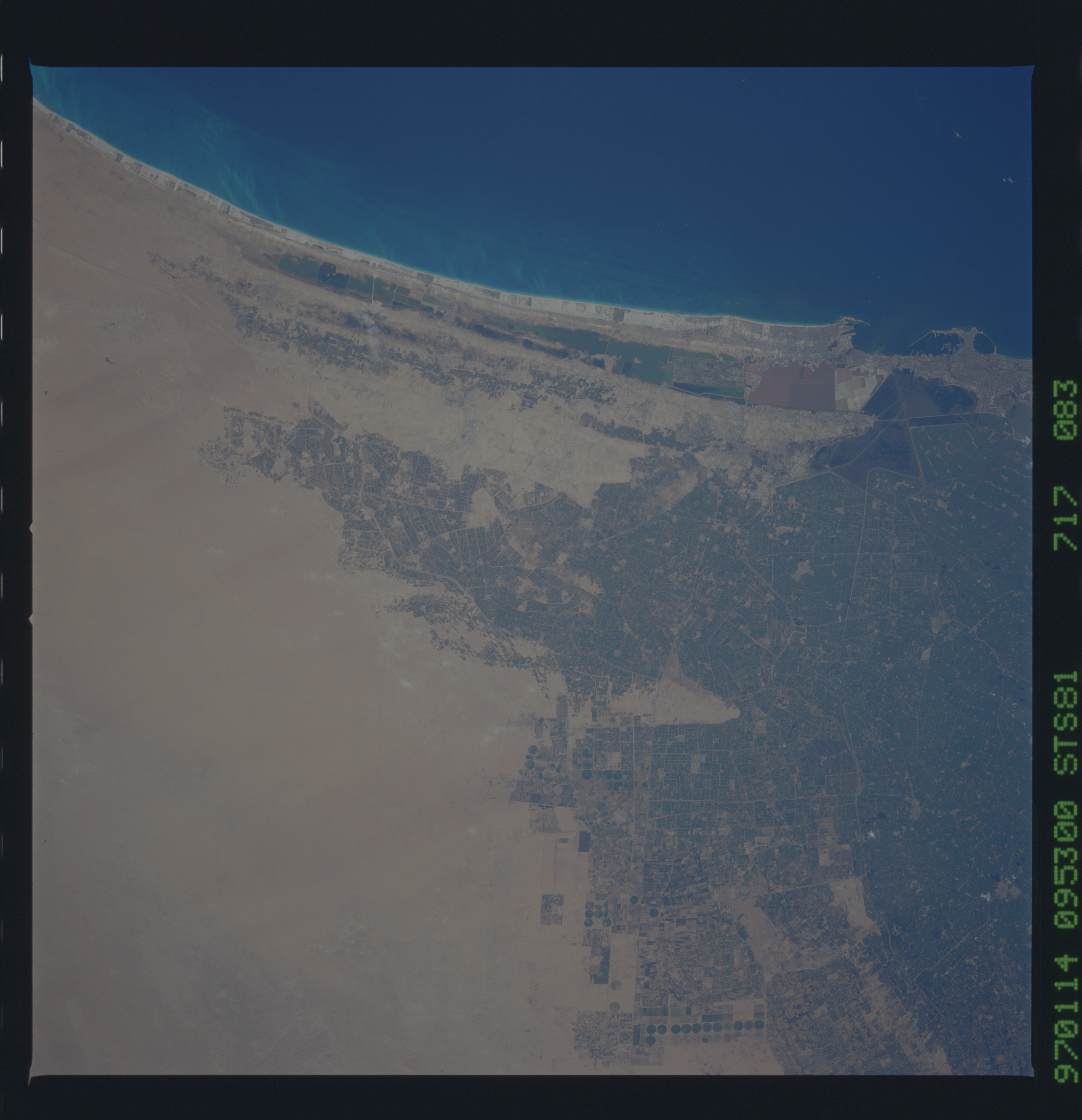
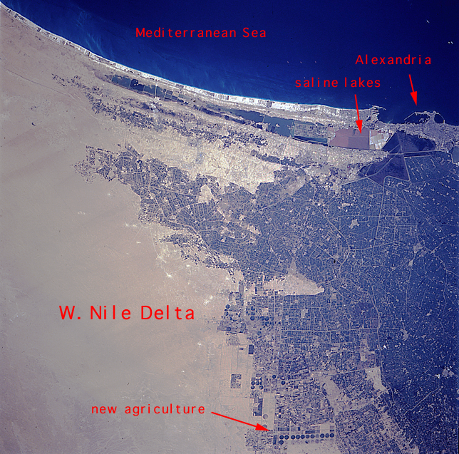
Country or Geographic Name: | EGYPT |
Features: | NILE DELTA, ALEXANDRIA |
| Features Found Using Machine Learning: | |
Cloud Cover Percentage: | 0 (no clouds present) |
Sun Elevation Angle: | 38° |
Sun Azimuth: | 174° |
Camera: | Hasselblad |
Focal Length: | 250mm |
Camera Tilt: | 21 degrees |
Format: | 5046: Kodak, natural color positive, Lumiere 100/5046, ASA 100, standard base |
Film Exposure: | Normal |
| Additional Information | |
| Width | Height | Annotated | Cropped | Purpose | Links |
|---|---|---|---|---|---|
| 5700 pixels | 5900 pixels | No | No | Download Image Download Color Calibration Image for this Image |
|
| 483 pixels | 500 pixels | No | No | Download Image Download Color Calibration Image for this Image |
|
| 2564 pixels | 2587 pixels | No | No | Download Image | |
| 644 pixels | 637 pixels | Yes | No | Download Image | |
| 644 pixels | 637 pixels | Download Image |
Download Packaged File
Download a Google Earth KML for this Image
View photo footprint information
No GeoTIFF is available for this photo.Image Caption: These series of photographs highlight the continuing problems of subsidence in the Nile delta. The Aswan High Dam now captures 98% of the Nile's sediment and the effect has been increased subsidence. Time series Shuttle photography reveals increased agriculture on the eastern and western edges of the delta.
