< NM23-743-83 >

| NASA Photo ID | NM23-743-83 |
| Focal Length | 250mm |
| Date taken | 1997.04.24 |
| Time taken | 16:04:52 GMT |
Resolutions offered for this image:
4096 x 4096 pixels 640 x 640 pixels 5700 x 6000 pixels 500 x 526 pixels 511 x 508 pixels
4096 x 4096 pixels 640 x 640 pixels 5700 x 6000 pixels 500 x 526 pixels 511 x 508 pixels
Cloud masks available for this image:
Spacecraft nadir point: 21.1° N, 81.7° W
Photo center point: 22.0° N, 98.0° W
Photo center point by machine learning:
Photo center point: 22.0° N, 98.0° W
Photo center point by machine learning:
Nadir to Photo Center: West
Spacecraft Altitude: 210 nautical miles (389km)
Country or Geographic Name: | MEXICO |
Features: | TAMPICO |
| Features Found Using Machine Learning: | |
Cloud Cover Percentage: | 5 (1-10)% |
Sun Elevation Angle: | 69° |
Sun Azimuth: | 109° |
Camera: | Hasselblad |
Focal Length: | 250mm |
Camera Tilt: | Low Oblique |
Format: | 5046: Kodak, natural color positive, Lumiere 100/5046, ASA 100, standard base |
Film Exposure: | Normal |
| Additional Information | |
| Width | Height | Annotated | Cropped | Purpose | Links |
|---|---|---|---|---|---|
| 4096 pixels | 4096 pixels | No | No | Earth From Space collection | Download Image |
| 640 pixels | 640 pixels | No | No | Earth From Space collection | Download Image |
| 5700 pixels | 6000 pixels | No | No | Download Image | |
| 500 pixels | 526 pixels | No | No | Download Image | |
| 511 pixels | 508 pixels | No | No | Download Image |
Download Packaged File
Download a Google Earth KML for this Image
View photo footprint information
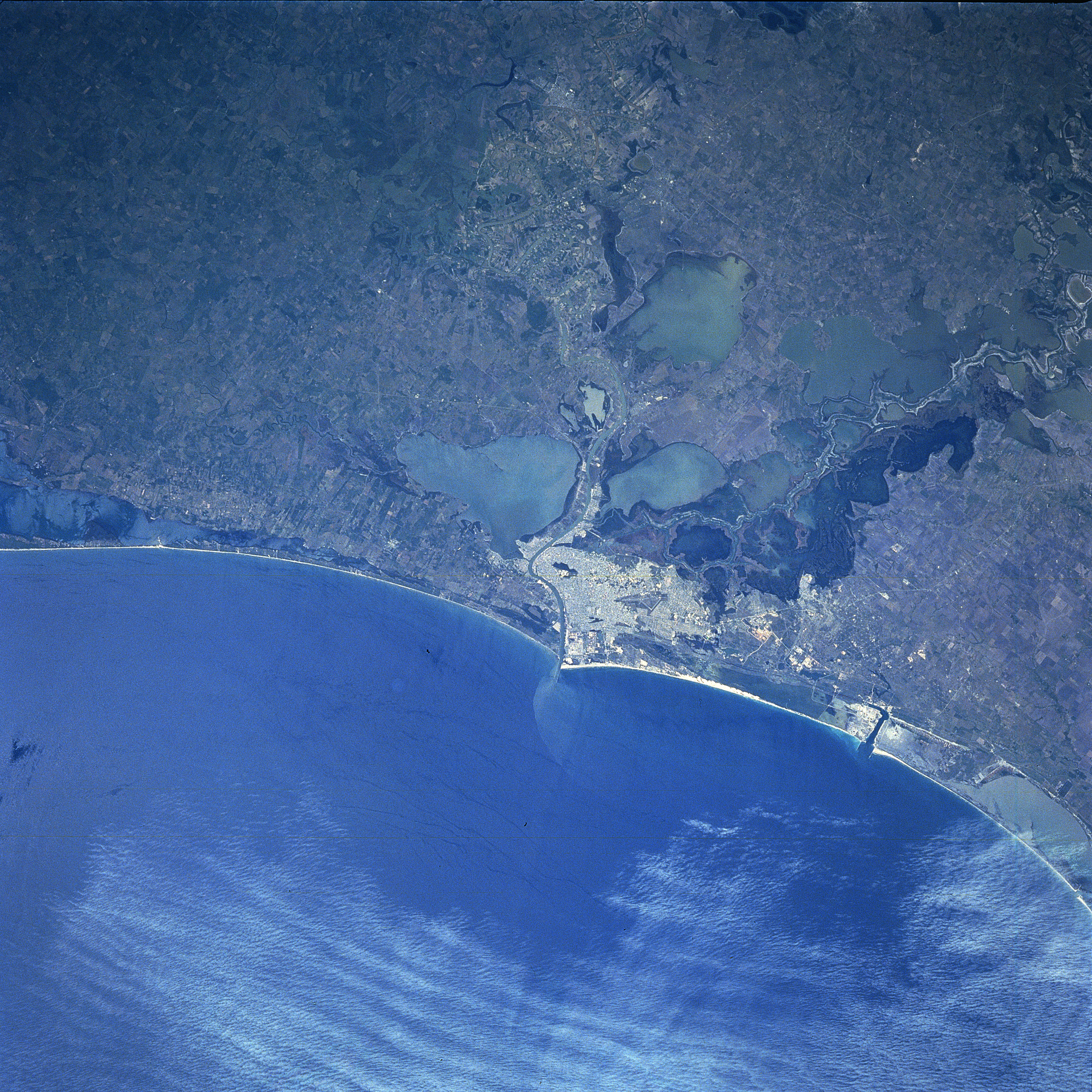
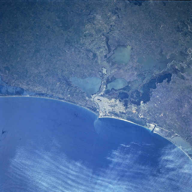
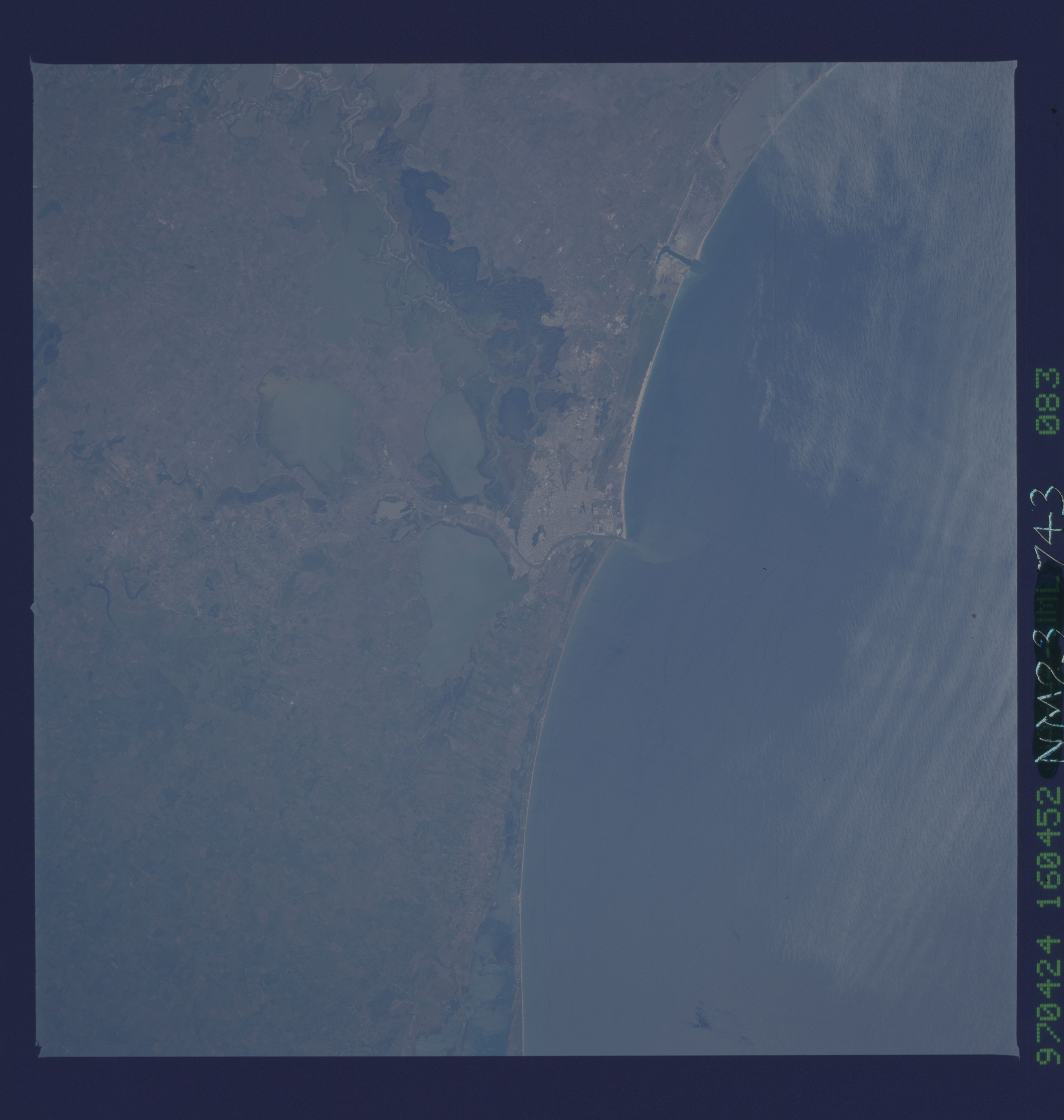
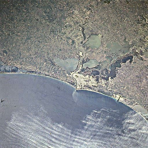
No GeoTIFF is available for this photo.Image Caption: NM23-743-083 Tampico, Mexico Winter/Spring 1997
One of the leading seaports in Mexico, the city of Tampico is visible (near the center of the image) in this west-southwest-looking view. Situated on the Gulf Coastal Plain on the Panuco River 5 miles (8 km) from its mouth, Tampico boasts a port with excellent loading facilities and good communications, making it the most modern port in Mexico. Tampico has the largest fishing industries in Mexico, plus oil refineries, boatyards, sawmills, and agricultural crop and livestock facilities. The Panuco River is dredged to keep the harbor facilities open to the Gulf of Mexico (lower portion of image). The city is surrounded inland by swamps and numerous shallow lakes. Tourism is a major industry in Tampico as there are many fine beaches both to the north and south of the city. Oil refineries within the city process over a third of Mexico's oil. Occasionally, Tampico does experience severe hurricanes from the Gulf of Mexico.
One of the leading seaports in Mexico, the city of Tampico is visible (near the center of the image) in this west-southwest-looking view. Situated on the Gulf Coastal Plain on the Panuco River 5 miles (8 km) from its mouth, Tampico boasts a port with excellent loading facilities and good communications, making it the most modern port in Mexico. Tampico has the largest fishing industries in Mexico, plus oil refineries, boatyards, sawmills, and agricultural crop and livestock facilities. The Panuco River is dredged to keep the harbor facilities open to the Gulf of Mexico (lower portion of image). The city is surrounded inland by swamps and numerous shallow lakes. Tourism is a major industry in Tampico as there are many fine beaches both to the north and south of the city. Oil refineries within the city process over a third of Mexico's oil. Occasionally, Tampico does experience severe hurricanes from the Gulf of Mexico.
