< STS031-91-80 >
| NASA Photo ID | STS031-91-80 |
| Focal Length | 250mm |
| Date taken | 1990.04.28 |
| Time taken | 15:17:43 GMT |
Cloud masks available for this image:
Spacecraft nadir point: 14.4° N, 89.2° W
Photo center point: 17.0° N, 92.0° W
Photo center point by machine learning:
Photo center point: 17.0° N, 92.0° W
Photo center point by machine learning:
Nadir to Photo Center: Northwest
Spacecraft Altitude: 331 nautical miles (613km)Body: Earth
Country or Geographic Name: | MEXICO |
Features: | GUATEMALA BORDER |
| Features Found Using Machine Learning: | |
Cloud Cover Percentage: | 40 (26-50)% |
Sun Elevation Angle: | 52° |
Sun Azimuth: | 85° |
Camera: | Hasselblad |
Focal Length: | 250mm |
Camera Tilt: | 35 degrees |
Format: | 2443: Kodak Aerochrome 2443, color IR, thin base, EA-5 process thru June 1999, E-6 process afterward |
Film Exposure: | Normal |
| Additional Information | |
| Width | Height | Annotated | Cropped | Purpose | Links |
|---|---|---|---|---|---|
| 5686 pixels | 5900 pixels | No | No | Download Image | |
| 500 pixels | 519 pixels | No | No | Download Image | |
| 640 pixels | 480 pixels | No | No | Download Image |
Download Packaged File
Download a Google Earth KML for this Image
View photo footprint information
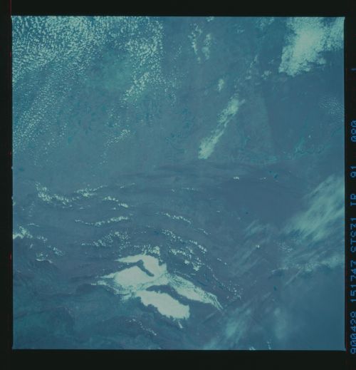
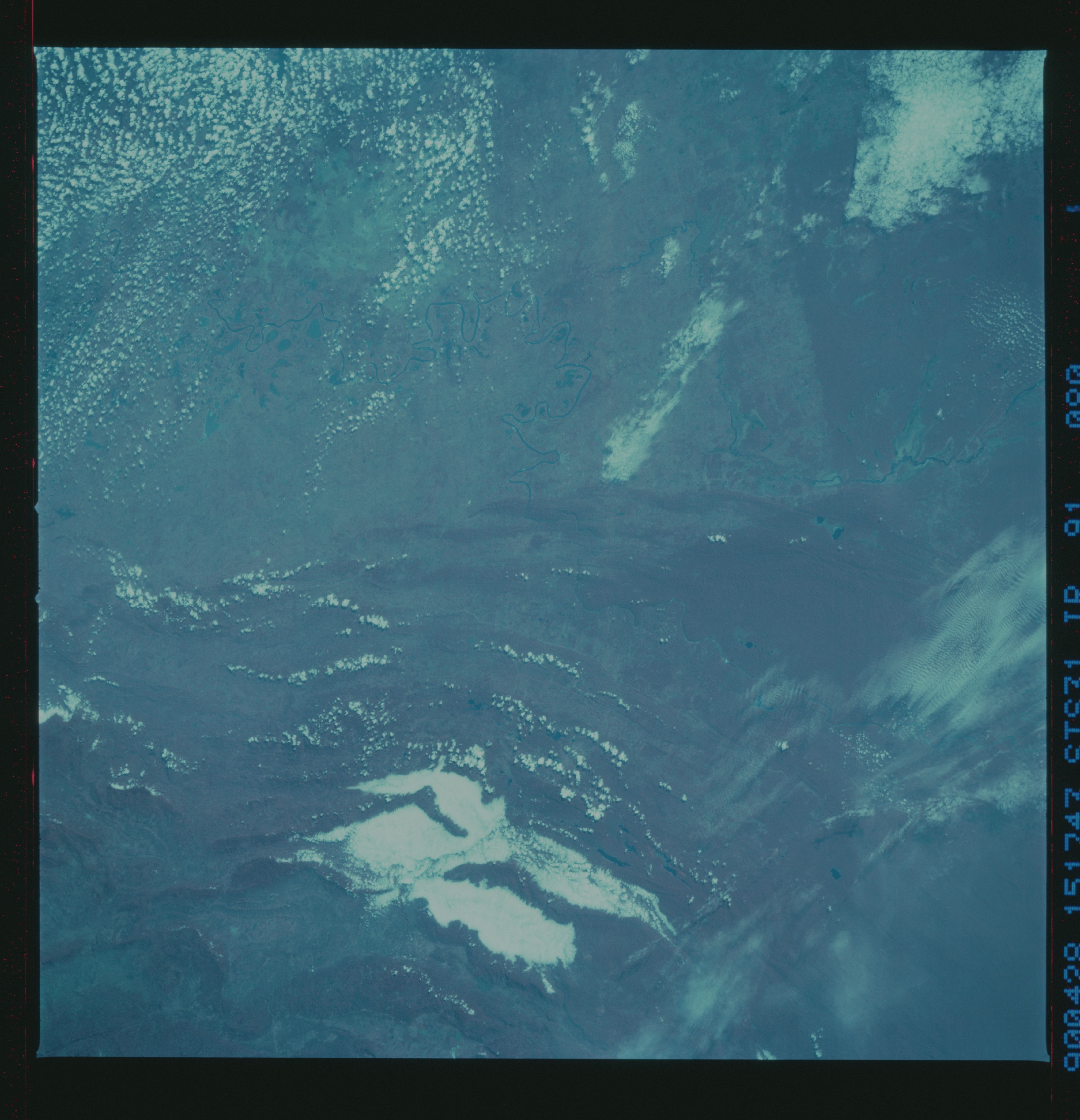
No GeoTIFF is available for this photo.Image Caption: This color infrared view of the Chiapas Forest, Mexico and Guatemala border (17.0N, 92.0W) illustrates the usefulness of this type of film in determining vegetated vs non vegetated areas. As can be seen, most of this part of Guatemala remains in closed canopy woodland (dark red), while most of the Mexican land to the north has been cleared for pasture and farmland (pink). The pale green areas north of the river are bare soil or fallow fields.

