< STS086-723-79 >
| NASA Photo ID | STS086-723-79 |
| Focal Length | 100mm |
| Date taken | 1997.10.05 |
| Time taken | 00:53:32 GMT |
Cloud masks available for this image:
Spacecraft nadir point: 48.2° S, 164.8° E
Photo center point: 44.0° S, 170.0° E
Photo center point by machine learning:
Photo center point: 44.0° S, 170.0° E
Photo center point by machine learning:
Nadir to Photo Center: Northeast
Spacecraft Altitude: 199 nautical miles (369km)
Country or Geographic Name: | NEW ZEALAND-SI |
Features: | LAKE PUKAKI |
| Features Found Using Machine Learning: | |
Cloud Cover Percentage: | 10 (1-10)% |
Sun Elevation Angle: | 47° |
Sun Azimuth: | 359° |
Camera: | Hasselblad |
Focal Length: | 100mm |
Camera Tilt: | Low Oblique |
Format: | 5069: Kodak Elite 100S, E6 Reversal, Replaces Lumiere, Warmer in tone vs. Lumiere |
Film Exposure: | Normal |
| Additional Information | |
| Width | Height | Annotated | Cropped | Purpose | Links |
|---|---|---|---|---|---|
| 5700 pixels | 5900 pixels | No | No | Download Image Download Color Calibration Image for this Image |
|
| 483 pixels | 500 pixels | No | No | Download Image Download Color Calibration Image for this Image |
|
| 640 pixels | 636 pixels | No | No | Photographic Highlights | Download Image |
Download Packaged File
Download a Google Earth KML for this Image
View photo footprint information
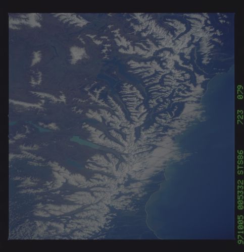
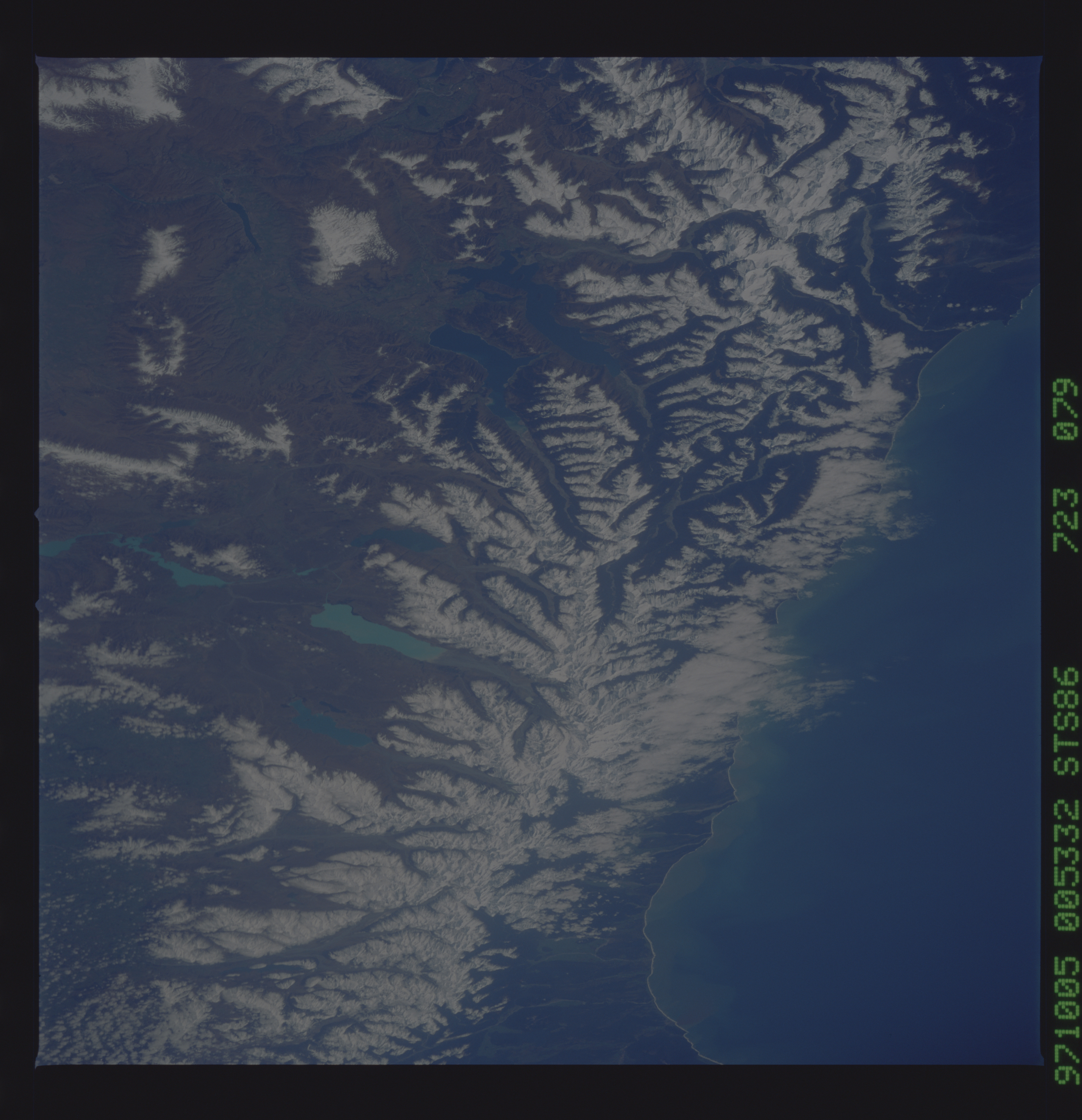
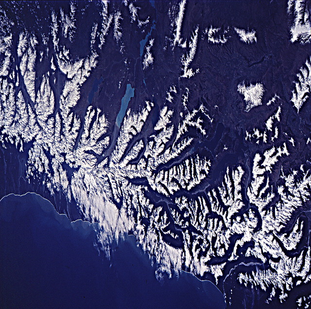
No GeoTIFF is available for this photo.Image Caption: Mt. Cook and the Southern Alps, South Island, New Zealand. Mt. Cook is the centerpiece of this
photograph, with Tasman glacier flowing down its southeast flank. The waters of Lake Pukaki, which is fed
by the Tasman and Murchison glaciers, contain rock that has been ground to the consistency of flour by the
ice; the suspended rock flour gives the lake its lighter color (cf. Lakes Ohau, Hawea, Wanaka). The
Southern Alps of South Island have been uplifted along the Alpine fault zone, which marks the boundary
between the Australian and Pacific tectonic plates of the Earth's crust. Mt. Cook rises above 11,000 ft (3754
m) and occupies a point where the straight segment of the Alpine fault zone begins to branch off into
southeasterly splays. Lakes Pukaki, Ohau, Hawea and Wanaka lie in valleys formed by such faults.
