ISS041-E-78334
| NASA Photo ID | ISS041-E-78334 |
| Focal Length | 28mm |
| Date taken | 2014.10.17 |
| Time taken | 13:25:13 GMT |
Resolutions offered for this image:
1000 x 1015 pixels 423 x 422 pixels 2511 x 1883 pixels 720 x 540 pixels 2832 x 4256 pixels 426 x 640 pixels
1000 x 1015 pixels 423 x 422 pixels 2511 x 1883 pixels 720 x 540 pixels 2832 x 4256 pixels 426 x 640 pixels
Country or Geographic Name: | MALI |
Features: | NIGER INLAND DELTA, NIGER RIVER, SAHARA |
| Features Found Using Machine Learning: | PAN- |
Cloud Cover Percentage: | 10 (1-10)% |
Sun Elevation Angle: | 54° |
Sun Azimuth: | 225° |
Camera: | Nikon D3S Electronic Still Camera |
Focal Length: | 28mm |
Camera Tilt: | 54 degrees |
Format: | 4256E: 4256 x 2832 pixel CMOS sensor, 36.0mm x 23.9mm, total pixels: 12.87 million, Nikon FX format |
Film Exposure: | |
| Additional Information | |
| Width | Height | Annotated | Cropped | Purpose | Links |
|---|---|---|---|---|---|
| 1000 pixels | 1015 pixels | No | Yes | Earth From Space collection | Download Image |
| 423 pixels | 422 pixels | Yes | Yes | Earth From Space collection | Download Image |
| 2511 pixels | 1883 pixels | No | No | NASA's Earth Observatory web site | Download Image |
| 720 pixels | 540 pixels | Yes | Yes | NASA's Earth Observatory web site | Download Image |
| 2832 pixels | 4256 pixels | No | No | Download Image | |
| 426 pixels | 640 pixels | No | No | Download Image |
Download Packaged File
Download a Google Earth KML for this Image
View photo footprint information
Download a GeoTIFF for this photo
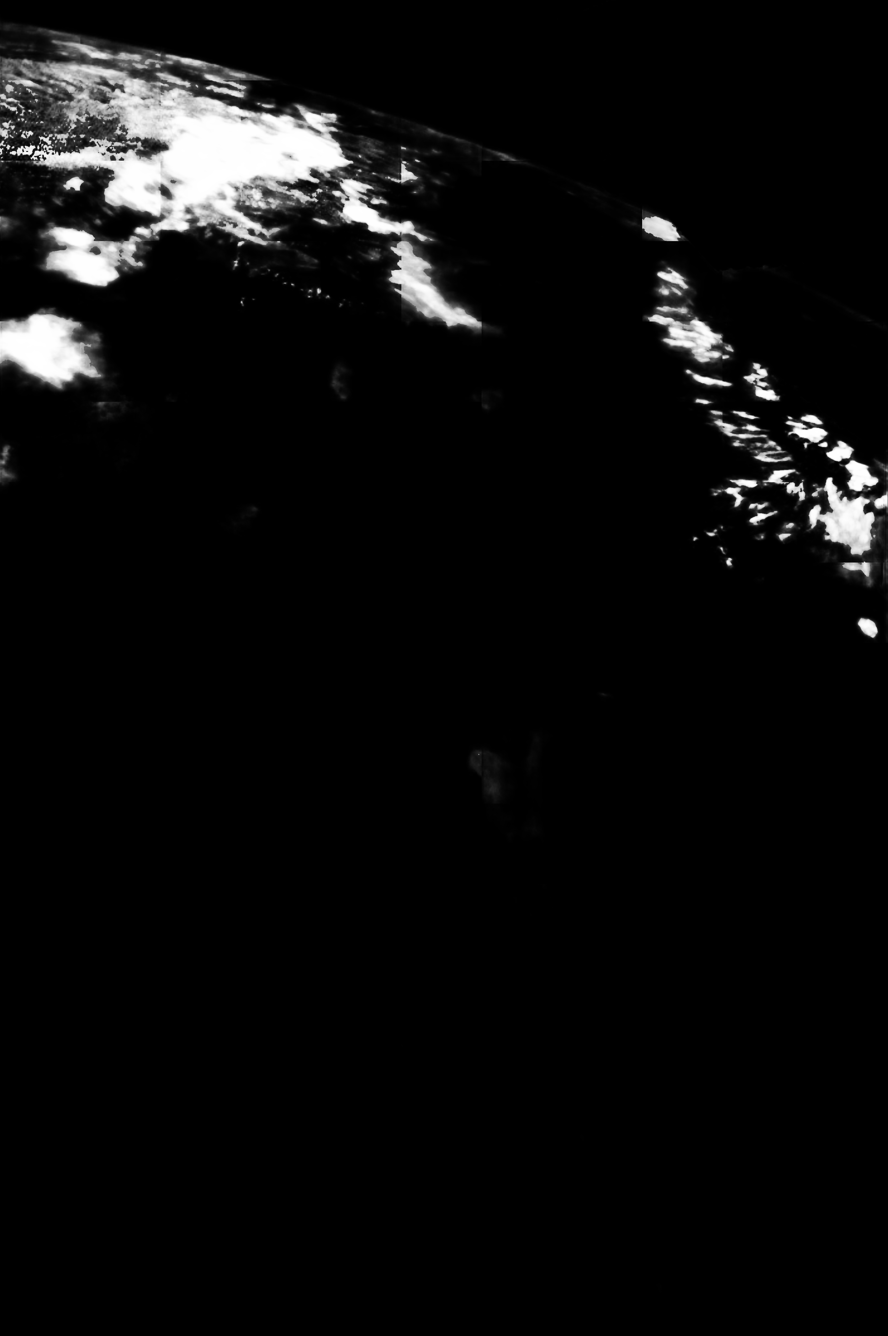
Image Caption: Inland delta of the Niger River, Mali
Apart from the delta of the Nile River, the inland delta of the Niger River (image top left) may be Africa's most famous. Crew members aboard the International Space Station took this east-looking view of the region where the Niger and other rivers flow out of the wetter, more vegetated Sahel (left side of the image), into the Sahara Desert (right side of the image). The rivers inundate the lush green wetland of the delta (image top left).
For millennia the river has been the most important water supply for life in the western Sahara Desert. After tracing an irregular path through a series of linear dunes (image center left) the river makes its way to the ancient city of Timbuktu (image lower center), and many other cities further downstream. Even the arrow-shaped, 100 km depression known as Lake Faguibine--scoured out by desert winds to levels a few meters below that of the Niger delta--is still regularly flooded by water from the Niger, allowing crops to be grown on the lake floor as the water recedes.
In the millions of years during which the Niger has brought water and sediment into the desert, the delta has repeatedly changed. The remnant of an older delta (image top left) can still be seen, especially where flows from the Niger due north to make a smaller dark green vegetation wetland near the top of the image.


