< STS026-37-78 >
| NASA Photo ID | STS026-37-78 |
| Focal Length | 250mm |
| Date taken | 1988.09.30 |
| Time taken | 17:12:05 GMT |
Resolutions offered for this image:
4000 x 4000 pixels 639 x 639 pixels 5700 x 5900 pixels 500 x 518 pixels 640 x 480 pixels
4000 x 4000 pixels 639 x 639 pixels 5700 x 5900 pixels 500 x 518 pixels 640 x 480 pixels

Cloud masks available for this image:
Spacecraft nadir point: 21.4° N, 154.7° W
Photo center point: 21.0° N, 156.5° W
Photo center point by machine learning:
Photo center point: 21.0° N, 156.5° W
Photo center point by machine learning:
Nadir to Photo Center: West
Spacecraft Altitude: 177 nautical miles (328km)
Camera: | Hasselblad |
Focal Length: | 250mm |
Camera Tilt: | Near Vertical |
Format: | 5017: Kodak, natural color positive, Ektachrome, X Professional, ASA 64, standard base |
Film Exposure: | Normal |
| Additional Information | |
| Width | Height | Annotated | Cropped | Purpose | Links |
|---|---|---|---|---|---|
| 4000 pixels | 4000 pixels | No | No | Earth From Space collection | Download Image |
| 639 pixels | 639 pixels | No | No | Earth From Space collection | Download Image |
| 5700 pixels | 5900 pixels | No | No | Download Image | |
| 500 pixels | 518 pixels | No | No | Download Image | |
| 640 pixels | 480 pixels | No | No | Download Image |
Download Packaged File
Download a Google Earth KML for this Image
View photo footprint information
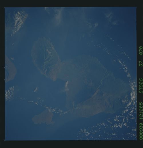
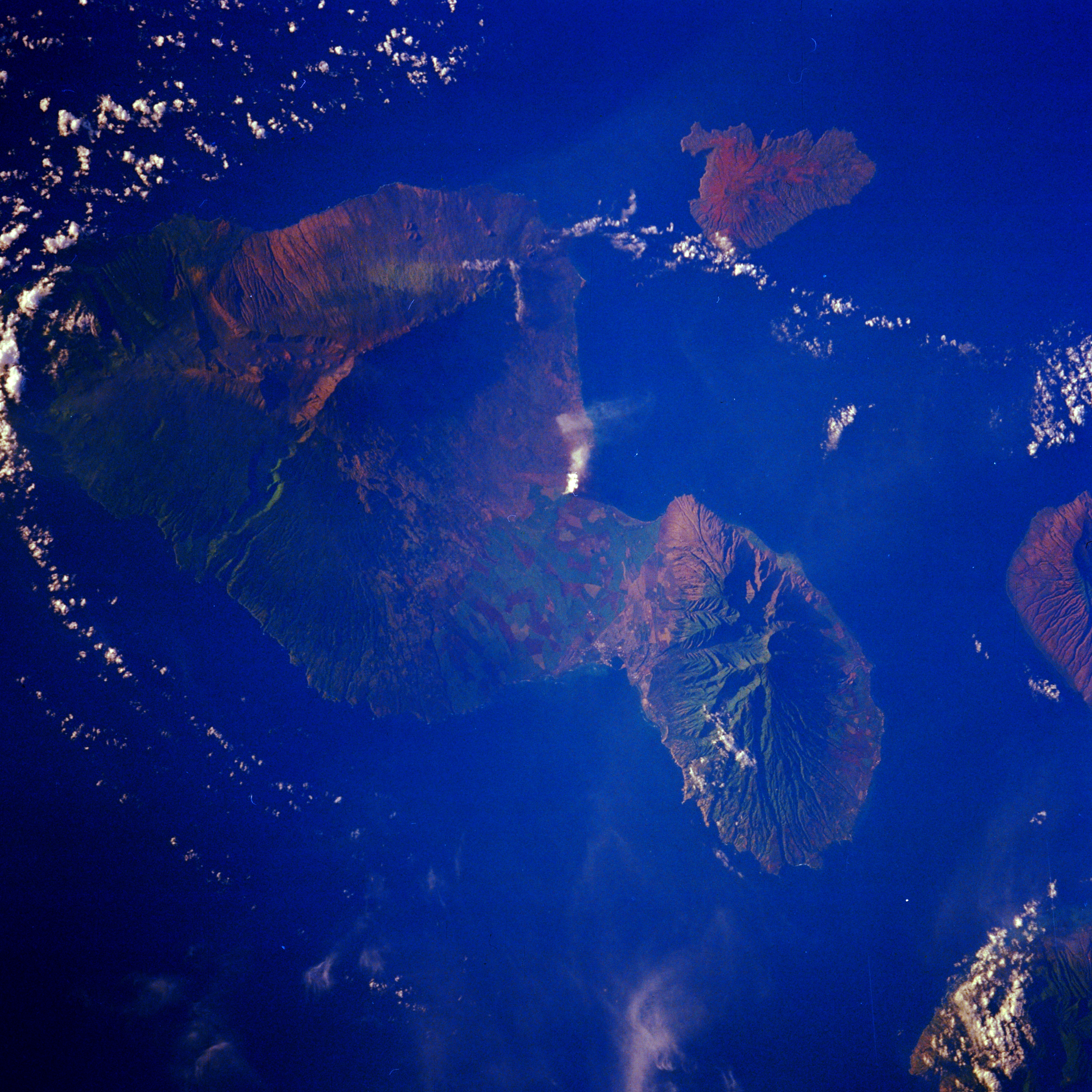
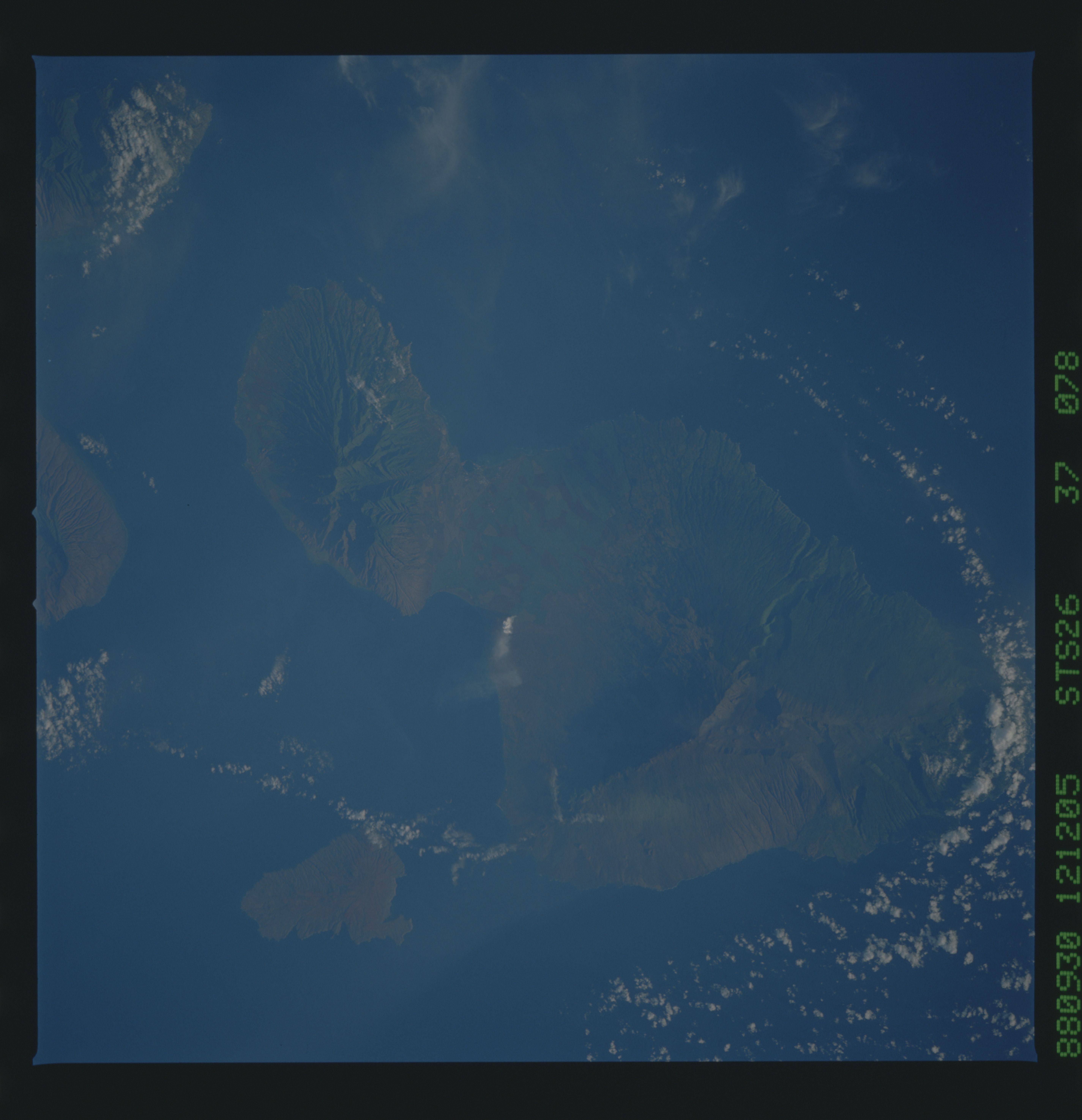
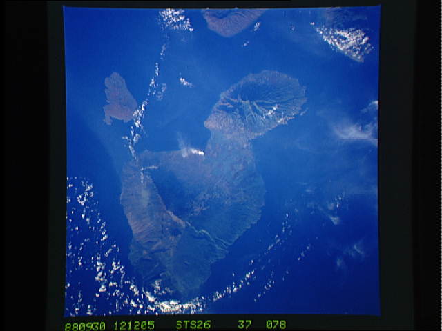
No GeoTIFF is available for this photo.Image Caption: STS026-037-078 Maui, Hawaii, U.S.A. October 1988
The major landforms of Maui are featured in this photograph--the well-entrenched radial drainage pattern of Puukukui Volcano [5788 feet (1764 meters)] at the west-northwest end of the island to Red Hill and Haleakala Crater [10 023 feet (3055 meters)] at the south end. Throughout the island, shield volcanoes dominate the landscape. The large cultivated field patterns of the intermontane valley are discernible. Kahoolawe is the small island just off the southwest coast of Maui.
The major landforms of Maui are featured in this photograph--the well-entrenched radial drainage pattern of Puukukui Volcano [5788 feet (1764 meters)] at the west-northwest end of the island to Red Hill and Haleakala Crater [10 023 feet (3055 meters)] at the south end. Throughout the island, shield volcanoes dominate the landscape. The large cultivated field patterns of the intermontane valley are discernible. Kahoolawe is the small island just off the southwest coast of Maui.
