< ISS006-E-7712 >

| NASA Photo ID | ISS006-E-7712 |
| Focal Length | 80mm |
| Date taken | 2002.12.12 |
| Time taken | 21:16:38 GMT |
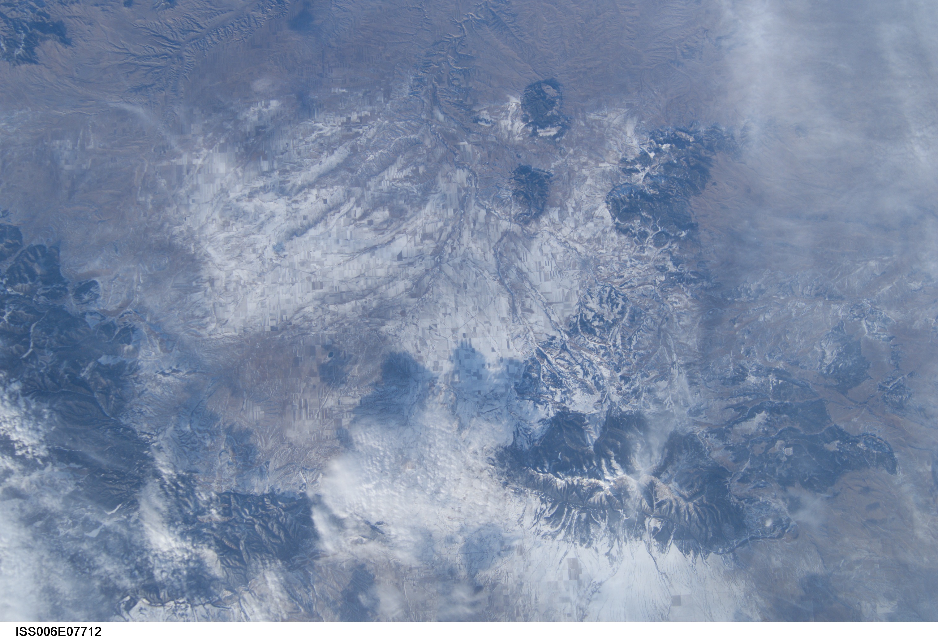

Spacecraft nadir point: 45.7° N, 110.8° W
Photo center point: 47.0° N, 109.5° W
Photo center point by machine learning:
Photo center point: 47.0° N, 109.5° W
Photo center point by machine learning:
Nadir to Photo Center: Northeast
Spacecraft Altitude: 211 nautical miles (391km)
Image Caption: none
