< STS082-731-77 >
| NASA Photo ID | STS082-731-77 |
| Focal Length | 250mm |
| Date taken | 1997.02.13 |
| Time taken | 13:49:40 GMT |
Cloud masks available for this image:
Spacecraft nadir point: 13.8° N, 91.0° W
Photo center point: 15.5° N, 92.0° W
Photo center point by machine learning:
Photo center point: 15.5° N, 92.0° W
Photo center point by machine learning:
Nadir to Photo Center: Northwest
Spacecraft Altitude: 317 nautical miles (587km)
Country or Geographic Name: | GUATEMALA |
Features: | LAKE |
| Features Found Using Machine Learning: | |
Cloud Cover Percentage: | 10 (1-10)% |
Sun Elevation Angle: | 18° |
Sun Azimuth: | 109° |
Camera: | Hasselblad |
Focal Length: | 250mm |
Camera Tilt: | 20 degrees |
Format: | 5069: Kodak Elite 100S, E6 Reversal, Replaces Lumiere, Warmer in tone vs. Lumiere |
Film Exposure: | Normal |
| Additional Information | |
| Width | Height | Annotated | Cropped | Purpose | Links |
|---|---|---|---|---|---|
| 5700 pixels | 5900 pixels | No | No | Download Image Download Color Calibration Image for this Image |
|
| 483 pixels | 500 pixels | No | No | Download Image Download Color Calibration Image for this Image |
|
| 640 pixels | 621 pixels | No | No | Photographic Highlights | Download Image |
Download Packaged File
Download a Google Earth KML for this Image
View photo footprint information
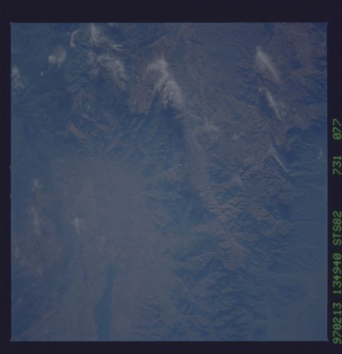
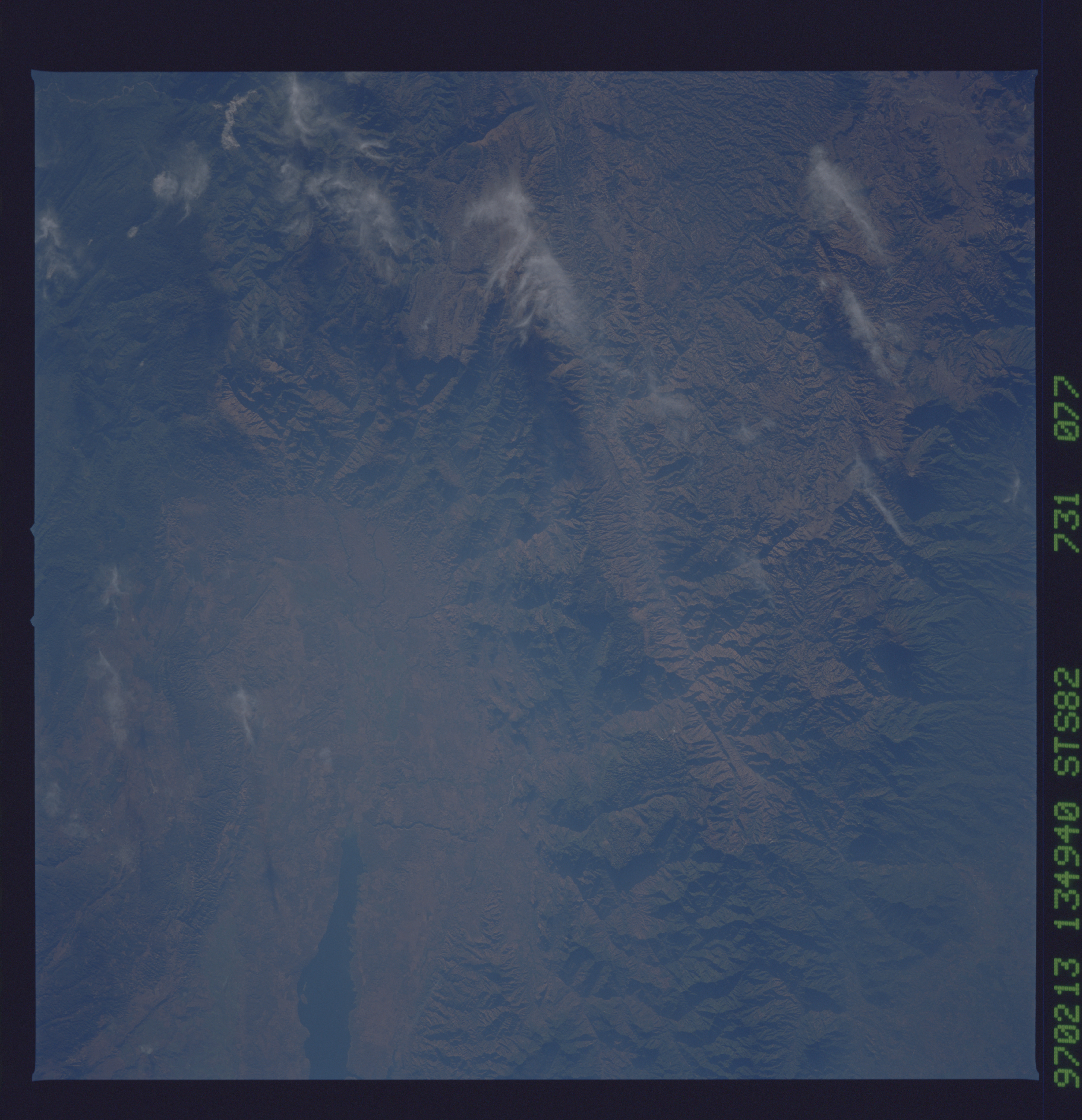
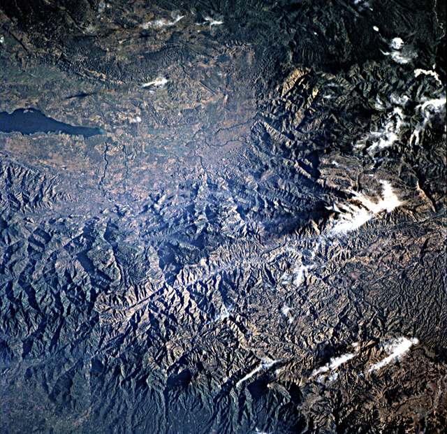
No GeoTIFF is available for this photo.Image Caption: Chiapas, Mexico; Guatemala. Fine detailed view of the strike-slip
faults of the transform boundary between the North American and
Caribbean plates. The major fault zone south of the large
light-appearing Angostura Lake valley in the eastern part of the photo
is the Polochic. The deep northerly valley in the upper left photo
appears on the left side of the next frame.
