< STS043-151-77 >
| NASA Photo ID | STS043-151-77 |
| Focal Length | 90mm |
| Date taken | 1991.08.09 |
| Time taken | 04:46:25 GMT |
Resolutions offered for this image:
640 x 480 pixels 5120 x 4000 pixels 2309 x 2878 pixels 5120 x 4000 pixels 909 x 1181 pixels 589 x 960 pixels 540 x 702 pixels
640 x 480 pixels 5120 x 4000 pixels 2309 x 2878 pixels 5120 x 4000 pixels 909 x 1181 pixels 589 x 960 pixels 540 x 702 pixels

Cloud masks available for this image:
Spacecraft nadir point: 19.5° S, 151.2° E
Photo center point: 21.0° S, 152.0° E
Photo center point by machine learning:
Photo center point: 21.0° S, 152.0° E
Photo center point by machine learning:
Nadir to Photo Center: Southeast
Spacecraft Altitude: 166 nautical miles (307km)Body: Earth
Country or Geographic Name: | AUSTRALIA-Q |
Features: | PT. OF ST. LAWRENCE, S. GBR |
| Features Found Using Machine Learning: | |
Cloud Cover Percentage: | 40 (26-50)% |
Sun Elevation Angle: | 35° |
Sun Azimuth: | 308° |
Camera: | Linhof |
Focal Length: | 90mm |
Camera Tilt: | 32 degrees |
Format: | QX868: Kodak, natural color positive, Ektachrome QX868(5017 emulsion), ASA 64, thin base |
Film Exposure: | Normal |
| Additional Information | |
| Width | Height | Annotated | Cropped | Purpose | Links |
|---|---|---|---|---|---|
| 640 pixels | 480 pixels | No | No | ISD 1 | Download Image |
| 5120 pixels | 4000 pixels | No | No | Coral Reef Atlas Publication | Download Image |
| 2309 pixels | 2878 pixels | Download Image | |||
| 5120 pixels | 4000 pixels | No | No | Download Image | |
| 909 pixels | 1181 pixels | Yes | Yes | Publisher Request | Download Image |
| 589 pixels | 960 pixels | Yes | No | Download Image | |
| 540 pixels | 702 pixels | Yes | Yes | Publisher Request | Download Image |
Download Packaged File
Download a Google Earth KML for this Image
View photo footprint information
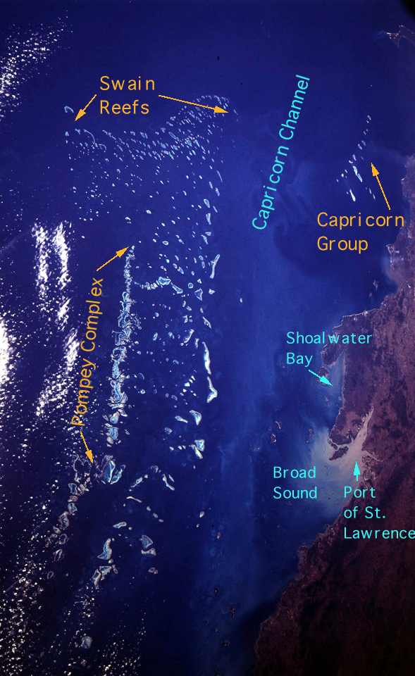
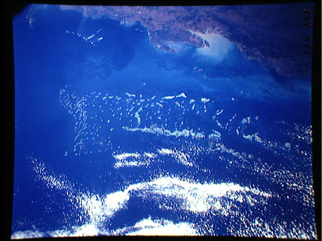
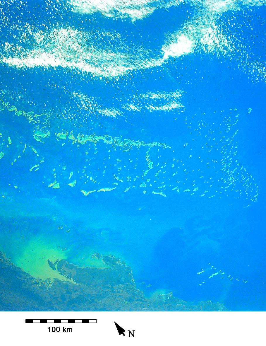
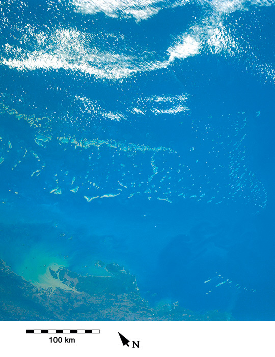
No GeoTIFF is available for this photo.Image Caption: STS043-151-77 Southern end of the Great Barrier Reef (Swain Reefs)
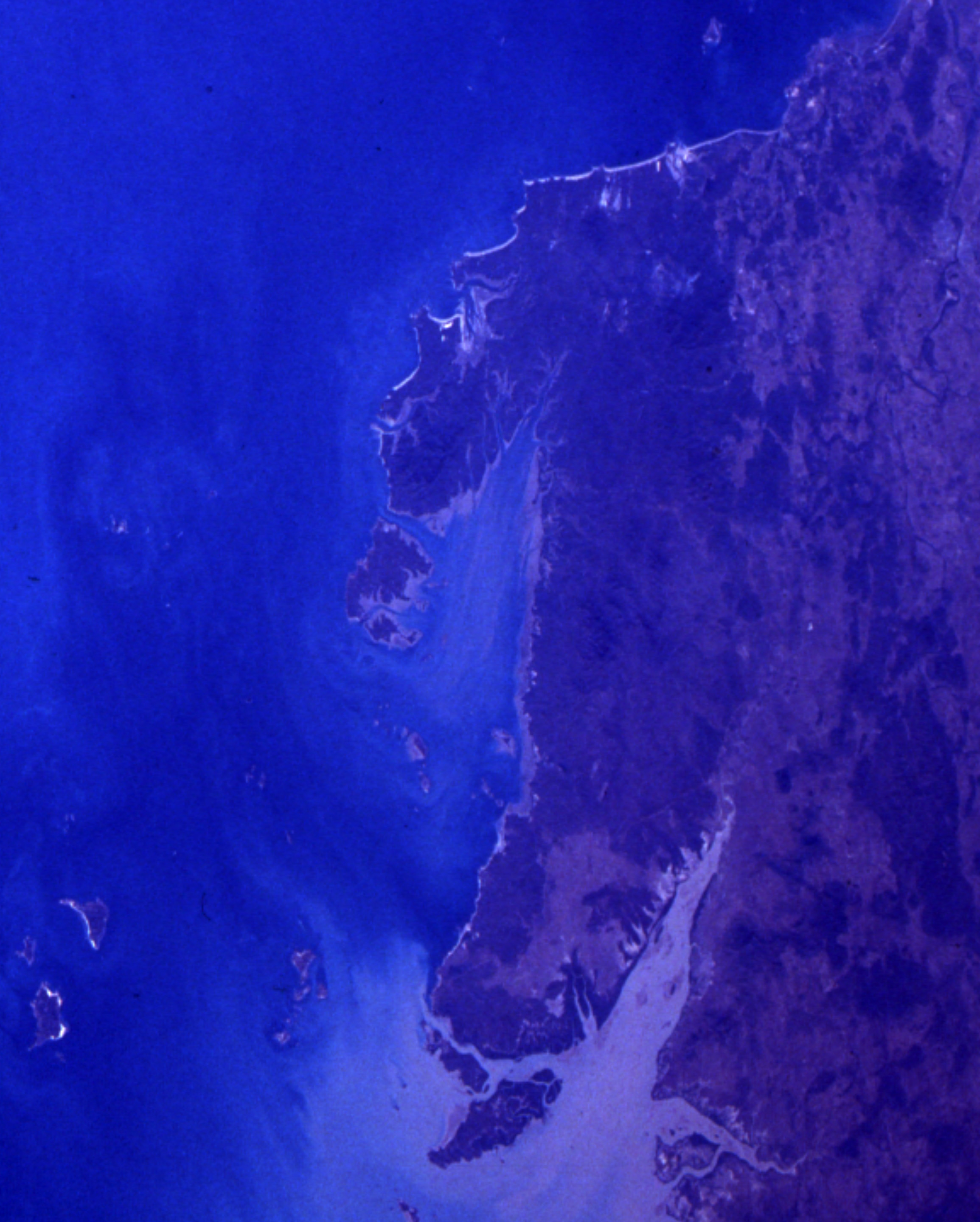
The Capricorn Channel separates the main group from the Capricorn Group closer to the Queensland coast, extending to 24 degrees south latitude. Muddy sediments are in Port Saint Lawrence.
The Capricorn Channel separates the main group from the Capricorn Group closer to the Queensland coast, extending to 24 degrees south latitude. Muddy sediments are in Port Saint Lawrence.