< STS086-711-75 >
| NASA Photo ID | STS086-711-75 |
| Focal Length | 100mm |
| Date taken | 1997.10.03 |
| Time taken | 03:00:13 GMT |
Cloud masks available for this image:
Spacecraft nadir point: 34.1° S, 174.3° E
Photo center point: 34.5° S, 173.0° E
Photo center point by machine learning:
Photo center point: 34.5° S, 173.0° E
Photo center point by machine learning:
Nadir to Photo Center: West
Spacecraft Altitude: 213 nautical miles (394km)
Country or Geographic Name: | NEW ZEALAND-NI |
Features: | NINETY MILE BEACH |
| Features Found Using Machine Learning: | |
Cloud Cover Percentage: | 5 (1-10)% |
Sun Elevation Angle: | 41° |
Sun Azimuth: | 298° |
Camera: | Hasselblad |
Focal Length: | 100mm |
Camera Tilt: | 21 degrees |
Format: | 5069: Kodak Elite 100S, E6 Reversal, Replaces Lumiere, Warmer in tone vs. Lumiere |
Film Exposure: | Normal |
| Additional Information | |
| Width | Height | Annotated | Cropped | Purpose | Links |
|---|---|---|---|---|---|
| 5700 pixels | 5900 pixels | No | No | Download Image Download Color Calibration Image for this Image |
|
| 483 pixels | 500 pixels | No | No | Download Image Download Color Calibration Image for this Image |
Download Packaged File
Download a Google Earth KML for this Image
View photo footprint information
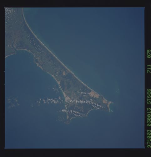
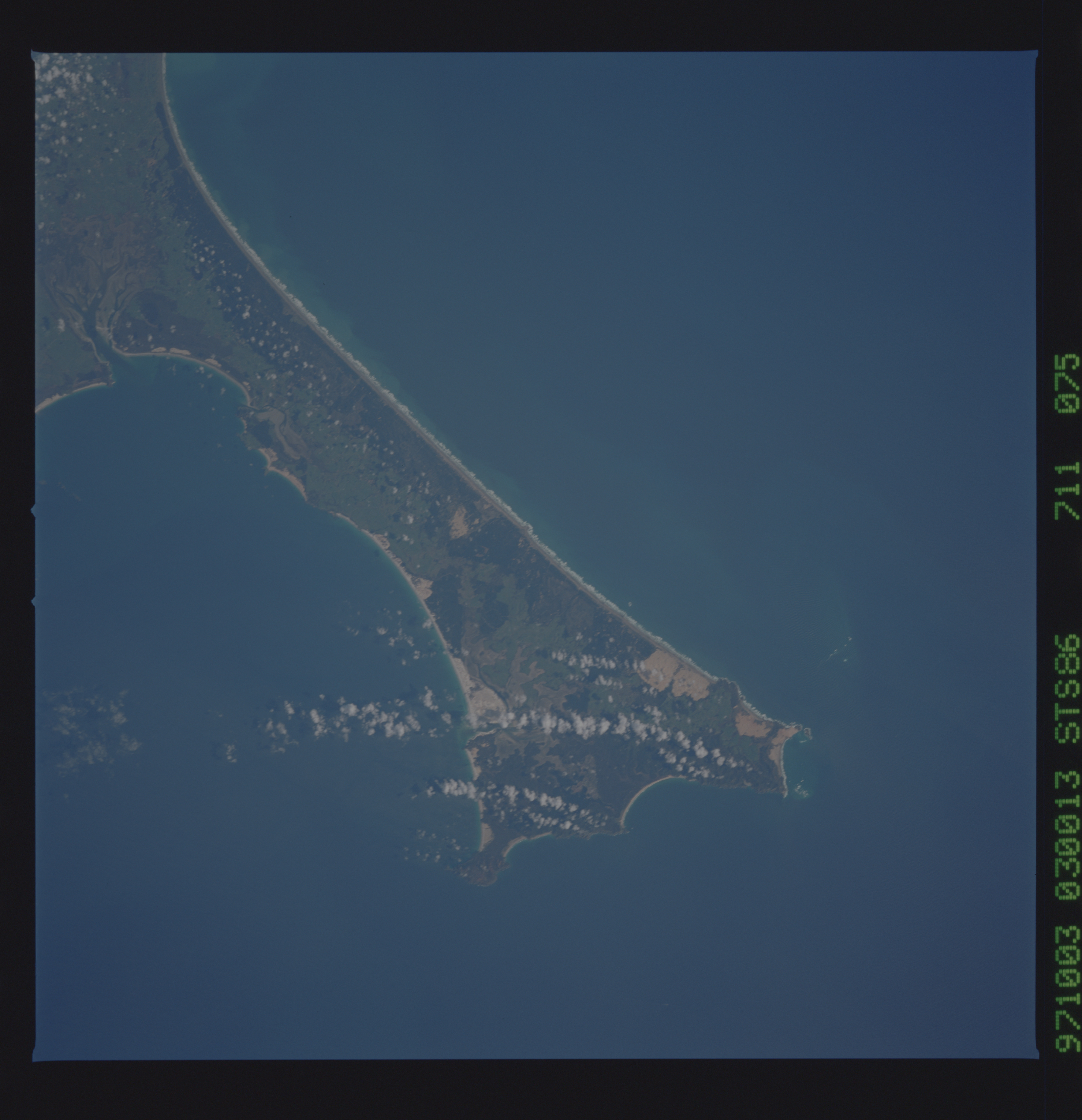
No GeoTIFF is available for this photo.Image Caption: Ninety Mile Beach, western coast of Aupori Peninsula, the northernmost extension of North Auckland Peninsula, North Island, New Zealand. It stretches for 55 mi. (88 km) from Scott Point (northwest) to Ahipara Bay (southwest) and is bordered by scrubland and sand dunes. In 1643 the Dutch navigator Abel Tasman referred to the beach as "a desert coast." Now a resort area, it offers fishing (especially for toheroa, a shellfish delicacy) and automobile racing on the hard-packed strand. Huge waves are crashing into the shores of Ninety mile beach on this day. The large tidal flat area at the river inlets indicate that there is a fairly large tidal range here sometime during the year.
