< STS003-14-749 >
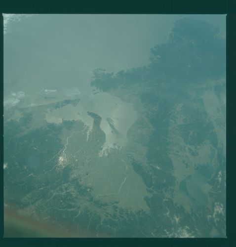
| NASA Photo ID | STS003-14-749 |
| Focal Length | 100mm |
| Date taken | 1982.03.__ |
| Time taken | GMT |
Cloud masks available for this image:
Spacecraft nadir point:
Photo center point: 35.0° N, 137.0° E
Photo center point by machine learning:
Photo center point: 35.0° N, 137.0° E
Photo center point by machine learning:
Nadir to Photo Center:
Spacecraft Altitude: nautical miles (0km)Body: Earth
Camera: | Hasselblad |
Focal Length: | 100mm |
Camera Tilt: | Low Oblique |
Format: | 2448: Fine Grain Aerochrome II color-reversal camera film, 70mm, process EA-5 |
Film Exposure: | Normal |
| Additional Information | |
| Width | Height | Annotated | Cropped | Purpose | Links |
|---|---|---|---|---|---|
| 4393 pixels | 4600 pixels | No | No | Download Image | |
| 478 pixels | 500 pixels | No | No | Download Image | |
| 640 pixels | 480 pixels | No | No | Download Image |
Download Packaged File
Download a Google Earth KML for this Image
View photo footprint information
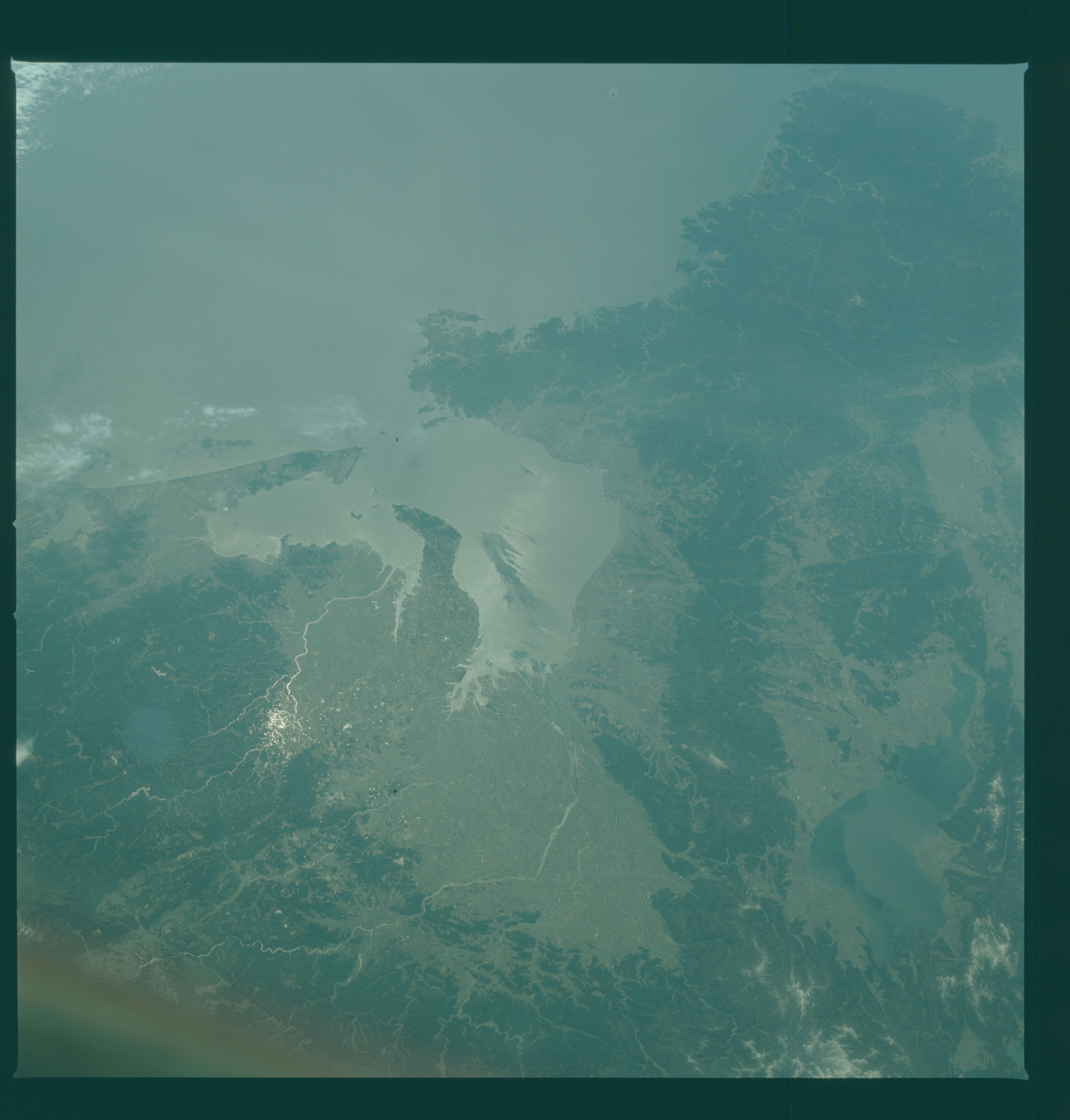
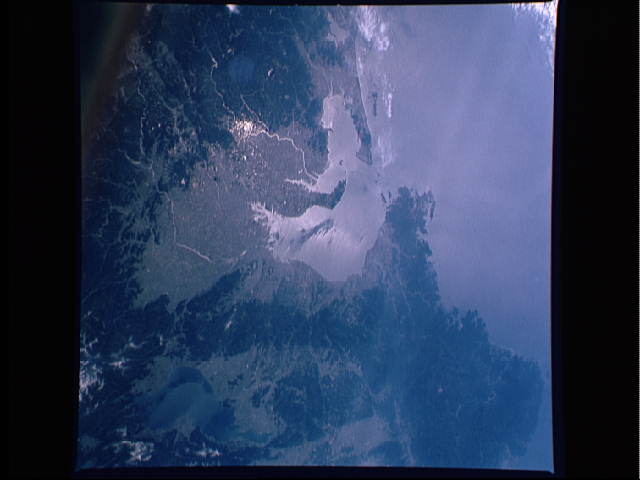
No GeoTIFF is available for this photo.Image Caption: This view of Nagoya, Ise Bay and nearby Kyoto, on the main island of Honshu, Japan (35.0N, 137.0E) combines in a single photo both the political, cultural and educational centers of early Japan as well as one of the main educational and business centers of modern Japan. Besides being a business, cultural and educational center, Nagoya is near the geographic center of the Japanese home islands.

