< STS042-86-72 >
| NASA Photo ID | STS042-86-72 |
| Focal Length | 250mm |
| Date taken | 1992.01.25 |
| Time taken | 03:16:56 GMT |
Cloud masks available for this image:
Spacecraft nadir point: 30.3° N, 82.0° E
Photo center point: 30.5° N, 81.5° E
Photo center point by machine learning:
Photo center point: 30.5° N, 81.5° E
Photo center point by machine learning:
Nadir to Photo Center: West
Spacecraft Altitude: 164 nautical miles (304km)Body: Earth
Country or Geographic Name: | CHINA |
Features: | TIBETAN PLAT., MA-PANG L. |
| Features Found Using Machine Learning: | |
Cloud Cover Percentage: | 5 (1-10)% |
Sun Elevation Angle: | 20° |
Sun Azimuth: | 128° |
Camera: | Hasselblad |
Focal Length: | 250mm |
Camera Tilt: | 11 degrees |
Format: | 5017: Kodak, natural color positive, Ektachrome, X Professional, ASA 64, standard base |
Film Exposure: | Normal |
| Additional Information | |
| Width | Height | Annotated | Cropped | Purpose | Links |
|---|---|---|---|---|---|
| 5700 pixels | 6000 pixels | No | No | Download Image | |
| 500 pixels | 526 pixels | No | No | Download Image | |
| 640 pixels | 480 pixels | No | No | Download Image |
Download Packaged File
Download a Google Earth KML for this Image
View photo footprint information
No GeoTIFF is available for this photo.Image Caption:
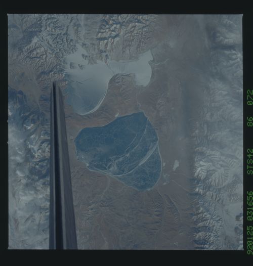
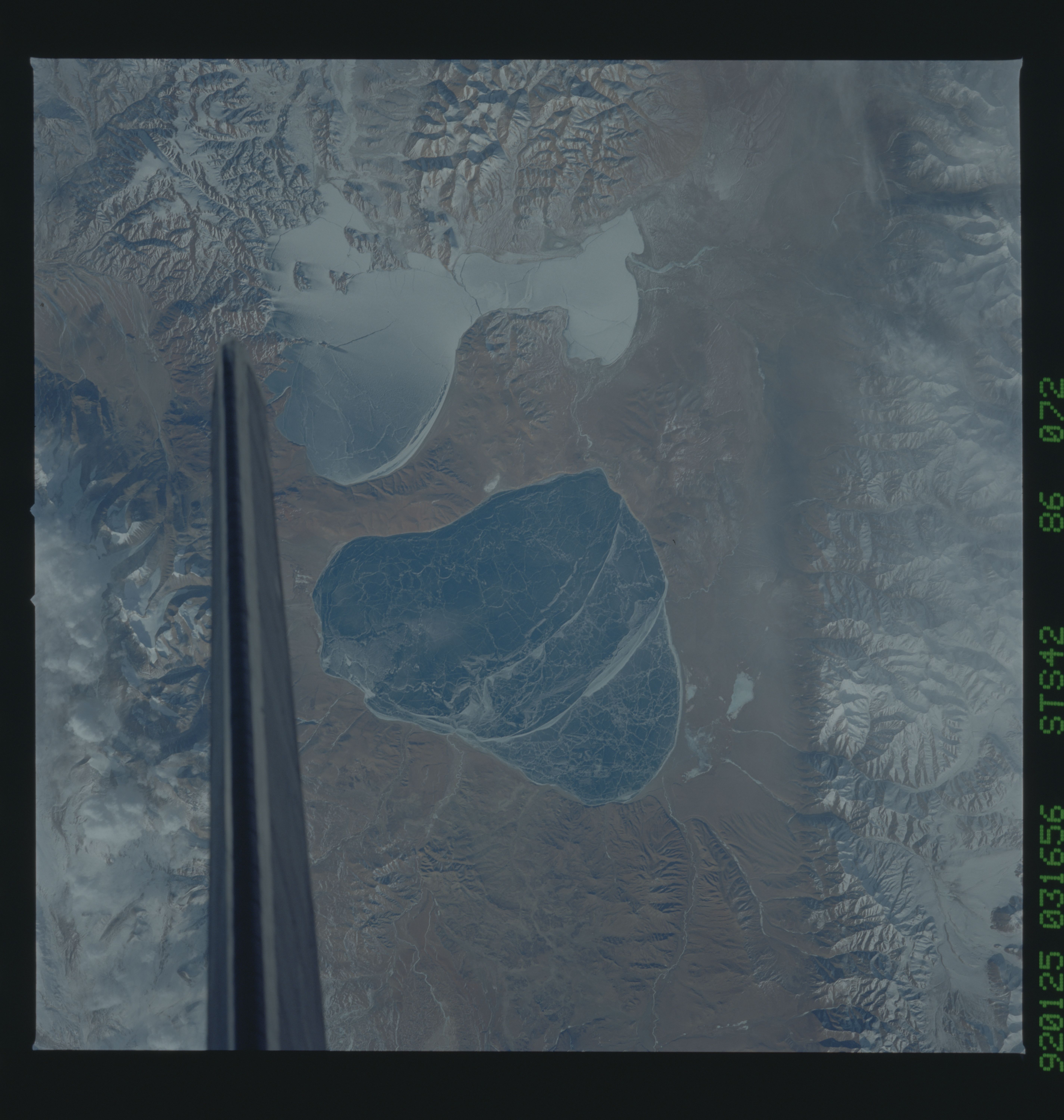
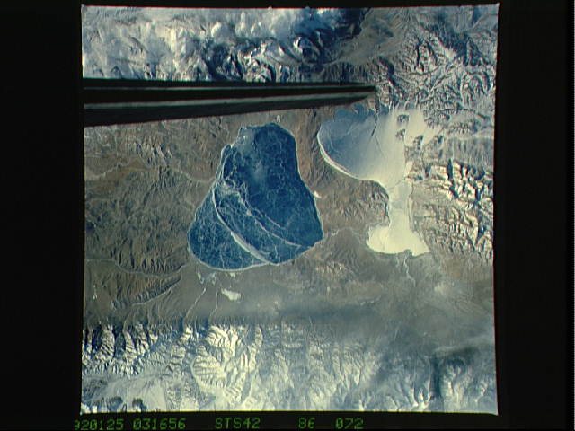
STS042-86-072 Frozen Tibetan Lakes [long form, only lightly edit-
ed] These twin lakes, both at the great altitude of 15 510 feet,
are probably the best known features on the Tibetan Plateau in
terms of visual impact as seen from the Shuttle. They lie less
than 10 miles north of the Nepalese border in Tibet, but even
here one can see the intense dryness of the valley floors. Peaks
in the Himalaya Range immediately south exceed 21 000 feet.
Flanks of a 25J000-foot mountain appear at the top of the view.
Ice on the lakes--especially on the triangular La-ang
Ts'o[see above]--is probably thin since the blue water beneath
can be seen. Cracks can be seen on the ice of the left lake
[YouUre still talking about the triangular one, arenUt you?] in
particular. The two broad curved lines of white ice are probably
thicker ice growth over ancient shorelines of the lake. The
right lake (Ma-p'ang Yung-ts'o--sometimes referred to as Rthe
broken champagne glassS) [see above] has been dusted with snow
from a snowfall on the higher mountains immediately right.
Streaks of snow on the lake show that winds have recently blown
from the top of the view (south). The lakes lie in a
valley occupied by one of the major transport routes through the
Tibetan Highlands. The route follows the straight-edged mountain
[I canUt find this.] from left to right along the bottom of the
view, but it can only be seen with a magnifying glass.
STS-42 Earth observation taken aboard Discovery, Orbiter Vehicle (OV) 103, is of the Tibetan Plateau (30.5N, 81.5E). The twin lakes with an altitude of 15,550 feet have the greatest visual impact among features on the plateau. The larger lake is Manasarovar and smaller lake is Rakshash Tal. The Hindus believe if you bathe in Manasarovar the sins of a lifetime are washed away. Both lakes are in Tibet, about ten miles north of its border with Nepal. Immediately to the north of Rakshash (down in the image) and just out of the photo is Mt Kailas 6741m. This is the holiest of all mountains for both Tibetan Buddhists and Hindus. Pilgrims come from many miles away to walk around this 'navel of the earth.' NASA scientists studying the STS-42 Earth photography note the intense dryness on the valley floors. Peaks in the Himalaya Range, immediately south, exceed 21,000 feet. Flanks of Ghurla Mandhata, which lies entirely within Tibet and rises 25,000 feet, appear at top.
STS042-86-072 Frozen Tibetan Lakes [long form, only lightly edit-
ed] These twin lakes, both at the great altitude of 15 510 feet,
are probably the best known features on the Tibetan Plateau in
terms of visual impact as seen from the Shuttle. They lie less
than 10 miles north of the Nepalese border in Tibet, but even
here one can see the intense dryness of the valley floors. Peaks
in the Himalaya Range immediately south exceed 21 000 feet.
Flanks of a 25J000-foot mountain appear at the top of the view.
Ice on the lakes--especially on the triangular La-ang
Ts'o[see above]--is probably thin since the blue water beneath
can be seen. Cracks can be seen on the ice of the left lake
[YouUre still talking about the triangular one, arenUt you?] in
particular. The two broad curved lines of white ice are probably
thicker ice growth over ancient shorelines of the lake. The
right lake (Ma-p'ang Yung-ts'o--sometimes referred to as Rthe
broken champagne glassS) [see above] has been dusted with snow
from a snowfall on the higher mountains immediately right.
Streaks of snow on the lake show that winds have recently blown
from the top of the view (south). The lakes lie in a
valley occupied by one of the major transport routes through the
Tibetan Highlands. The route follows the straight-edged mountain
[I canUt find this.] from left to right along the bottom of the
view, but it can only be seen with a magnifying glass.
STS-42 Earth observation taken aboard Discovery, Orbiter Vehicle (OV) 103, is of the Tibetan Plateau (30.5N, 81.5E). The twin lakes with an altitude of 15,550 feet have the greatest visual impact among features on the plateau. The larger lake is Manasarovar and smaller lake is Rakshash Tal. The Hindus believe if you bathe in Manasarovar the sins of a lifetime are washed away. Both lakes are in Tibet, about ten miles north of its border with Nepal. Immediately to the north of Rakshash (down in the image) and just out of the photo is Mt Kailas 6741m. This is the holiest of all mountains for both Tibetan Buddhists and Hindus. Pilgrims come from many miles away to walk around this 'navel of the earth.' NASA scientists studying the STS-42 Earth photography note the intense dryness on the valley floors. Peaks in the Himalaya Range, immediately south, exceed 21,000 feet. Flanks of Ghurla Mandhata, which lies entirely within Tibet and rises 25,000 feet, appear at top.

