< STS034-73-72 >

| NASA Photo ID | STS034-73-72 |
| Focal Length | 250mm |
| Date taken | 1989.10.19 |
| Time taken | 21:55:16 GMT |
Cloud masks available for this image:
Spacecraft nadir point: 30.2° N, 95.0° W
Photo center point: 30.0° N, 95.0° W
Photo center point by machine learning:
Photo center point: 30.0° N, 95.0° W
Photo center point by machine learning:
Nadir to Photo Center: South
Spacecraft Altitude: 170 nautical miles (315km)
Country or Geographic Name: | USA-TEXAS |
Features: | HOUSTON, L. HOUSTON |
| Features Found Using Machine Learning: | |
Cloud Cover Percentage: | 0 (no clouds present) |
Sun Elevation Angle: | 21° |
Sun Azimuth: | 243° |
Camera: | Hasselblad |
Focal Length: | 250mm |
Camera Tilt: | 4 degrees |
Format: | 5017: Kodak, natural color positive, Ektachrome, X Professional, ASA 64, standard base |
Film Exposure: | Under Exposed |
| Additional Information | |
| Width | Height | Annotated | Cropped | Purpose | Links |
|---|---|---|---|---|---|
| 5700 pixels | 5900 pixels | No | No | Download Image Download Color Calibration Image for this Image |
|
| 500 pixels | 518 pixels | No | No | Download Image Download Color Calibration Image for this Image |
|
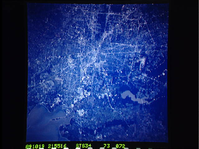
| 640 pixels | 480 pixels | No | No | Download Image |
Download Packaged File
Download a Google Earth KML for this Image
View photo footprint information
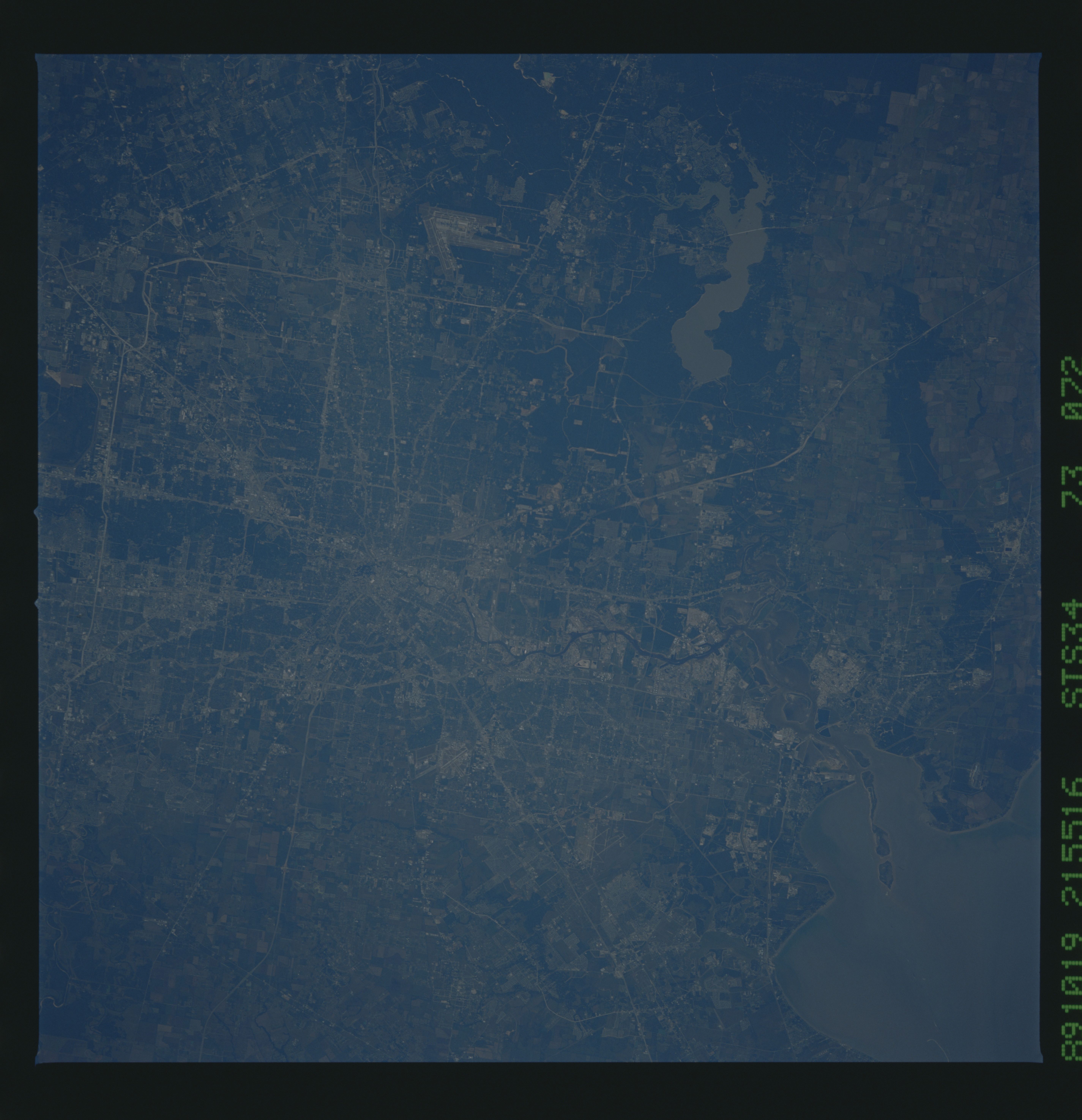
No GeoTIFF is available for this photo.Image Caption: Astronaut photography is useful for studying land-cover change in the
Houston area because the city has been photographed from space
repetitively over the last 30 years. These three photos, for example,
provide data points over a 10-year period that can be used to identify and, in some cases, quantify, changes. An obvious change is
construction of the Sam Houston Parkway (State Highway 8) circling the city. Other changes include growth and development of residential
subdivisions near Clear Lake, new developments north and east of Lake
Houston, and the Fred Hartman bridge between LaPorte and Baytown.
Most of the greater metropolitan Houston, TX (30.0N, 95.0W) region is captured in this single photograph. The continuing progress of construction of the outer beltway system enveloping the majority of the city is very evident. The downtown business district including the new George R. Brown Convention Center, the Astrodome Stadium, Intercontinental Airport and Hobby International Airport as well as Johnson Space Center are all easily seen.
