< NM23-740-72 >
| NASA Photo ID | NM23-740-72 |
| Focal Length | 250mm |
| Date taken | 1997.04.20 |
| Time taken | 10:41:59 GMT |
Resolutions offered for this image:
4048 x 4048 pixels 639 x 639 pixels 5700 x 6000 pixels 500 x 526 pixels
4048 x 4048 pixels 639 x 639 pixels 5700 x 6000 pixels 500 x 526 pixels


Cloud masks available for this image:
Spacecraft nadir point: 43.0° N, 54.1° E
Photo center point: 40.5° N, 50.0° E
Photo center point by machine learning:
Photo center point: 40.5° N, 50.0° E
Photo center point by machine learning:
Nadir to Photo Center: Southwest
Spacecraft Altitude: 210 nautical miles (389km)
Country or Geographic Name: | AZERBAIJAN |
Features: | APSHERONSKIY PENINSULA |
| Features Found Using Machine Learning: | |
Cloud Cover Percentage: | 15 (11-25)% |
Sun Elevation Angle: | 47° |
Sun Azimuth: | 235° |
Camera: | Hasselblad |
Focal Length: | 250mm |
Camera Tilt: | 54 degrees |
Format: | 5046: Kodak, natural color positive, Lumiere 100/5046, ASA 100, standard base |
Film Exposure: | Normal |
| Additional Information | |
| Width | Height | Annotated | Cropped | Purpose | Links |
|---|---|---|---|---|---|
| 4048 pixels | 4048 pixels | No | No | Earth From Space collection | Download Image |
| 639 pixels | 639 pixels | No | No | Earth From Space collection | Download Image |
| 5700 pixels | 6000 pixels | No | No | Download Image | |
| 500 pixels | 526 pixels | No | No | Download Image |
Download Packaged File
Download a Google Earth KML for this Image
View photo footprint information
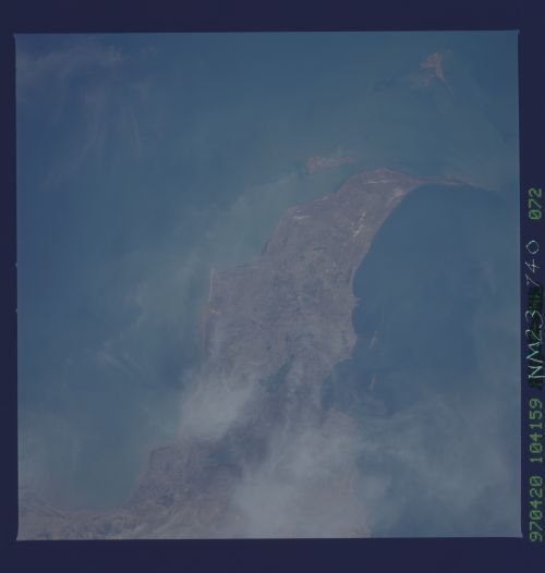
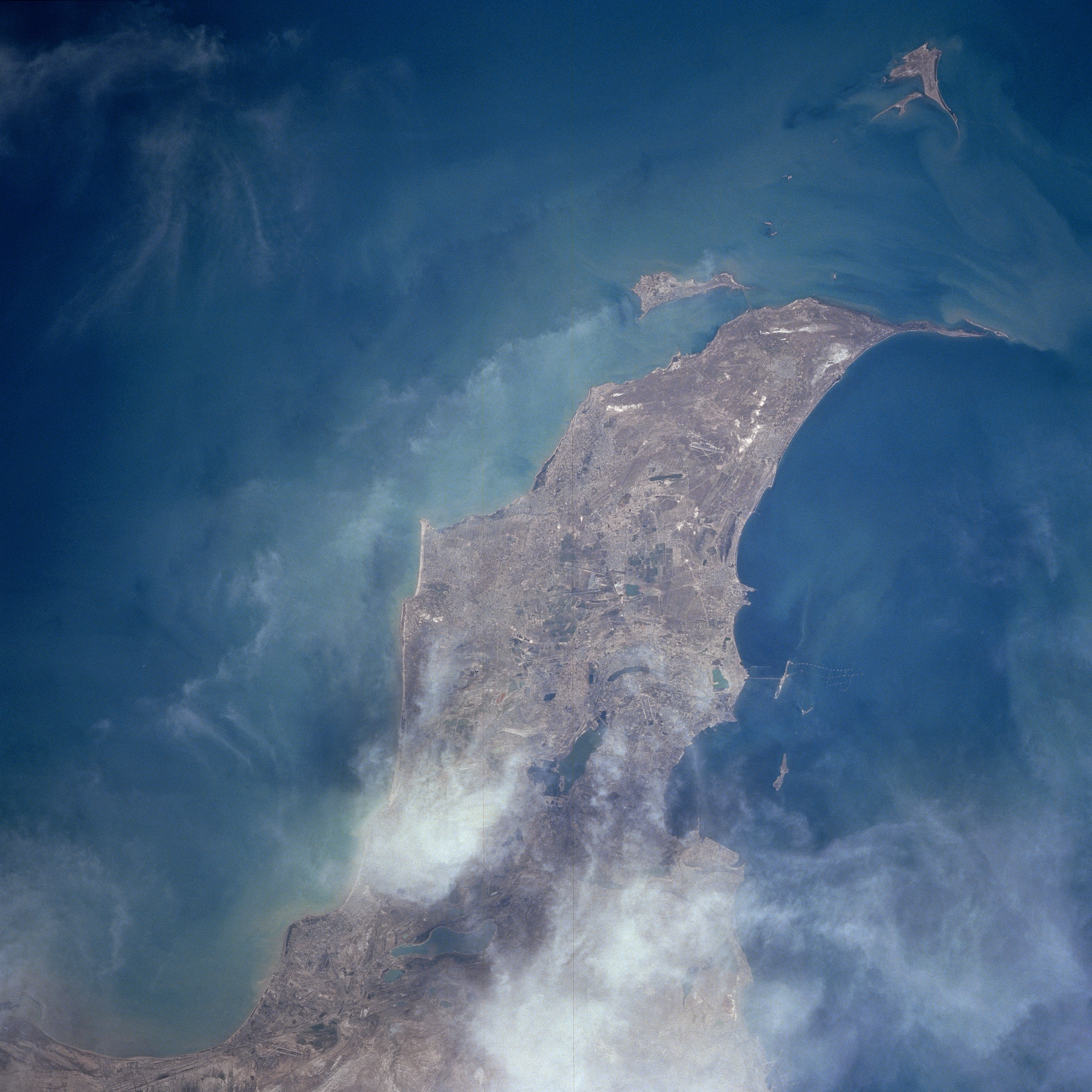
No GeoTIFF is available for this photo.Image Caption: NM23-740-072 Baku, Apsheron Peninsula, Azerbaijan Winter/Spring, 1997
The Apsheron Peninsula and city of Baku are discernible in this east-looking view. The city of Baku, which means "city of winds", is 56 feet (17 meters) below sea level and is located on the northern shore of the Bay of Baku (right center and bottom right of the image). The city was once a leading industrial, cultural and commercial center in the Former USSR. Until World War II, Baku was one of the leading petroleum centers in the Former USSR. Its port handled great volumes of freight, mainly oil and oil products. Oil drilling as a major economic activity has declined over the last few decades. An influx of British and American investment during the 1990's has not stemmed the overall decline. Apsheron Peninsula juts out into the Caspian Sea (upper left portion of the image), the world's largest inland body of water. The climate is harsh, dry, and windy. Severe cold temperatures with strong north and northwesterly winds are predominant during the winter months. Hot temperatures and dry conditions prevail during the summer months. Many of the recreation beaches around Apsheron Peninsula are considered hazardous due to the polluted waters surrounding the peninsula from abandoned oil wells and drilling platforms and closed oil refineries.
The Apsheron Peninsula and city of Baku are discernible in this east-looking view. The city of Baku, which means "city of winds", is 56 feet (17 meters) below sea level and is located on the northern shore of the Bay of Baku (right center and bottom right of the image). The city was once a leading industrial, cultural and commercial center in the Former USSR. Until World War II, Baku was one of the leading petroleum centers in the Former USSR. Its port handled great volumes of freight, mainly oil and oil products. Oil drilling as a major economic activity has declined over the last few decades. An influx of British and American investment during the 1990's has not stemmed the overall decline. Apsheron Peninsula juts out into the Caspian Sea (upper left portion of the image), the world's largest inland body of water. The climate is harsh, dry, and windy. Severe cold temperatures with strong north and northwesterly winds are predominant during the winter months. Hot temperatures and dry conditions prevail during the summer months. Many of the recreation beaches around Apsheron Peninsula are considered hazardous due to the polluted waters surrounding the peninsula from abandoned oil wells and drilling platforms and closed oil refineries.
