< STS090-729-71 >

| NASA Photo ID | STS090-729-71 |
| Focal Length | 40mm |
| Date taken | 1998.04.23 |
| Time taken | 19:39:32 GMT |
Resolutions offered for this image:
4067 x 4091 pixels 636 x 640 pixels 5700 x 5900 pixels 483 x 500 pixels 512 x 524 pixels 515 x 524 pixels
4067 x 4091 pixels 636 x 640 pixels 5700 x 5900 pixels 483 x 500 pixels 512 x 524 pixels 515 x 524 pixels


Cloud masks available for this image:
Spacecraft nadir point: 38.6° N, 109.8° W
Photo center point: 37.0° N, 112.0° W
Photo center point by machine learning:
Photo center point: 37.0° N, 112.0° W
Photo center point by machine learning:
Nadir to Photo Center: Southwest
Spacecraft Altitude: 134 nautical miles (248km)
Country or Geographic Name: | USA-ARIZONA |
Features: | PAN-LAKE POWELL, L. MEAD |
| Features Found Using Machine Learning: | |
Cloud Cover Percentage: | 10 (1-10)% |
Sun Elevation Angle: | 64° |
Sun Azimuth: | 192° |
Camera: | Hasselblad |
Focal Length: | 40mm |
Camera Tilt: | High Oblique |
Format: | 5069: Kodak Elite 100S, E6 Reversal, Replaces Lumiere, Warmer in tone vs. Lumiere |
Film Exposure: | Normal |
| Additional Information | |
| Width | Height | Annotated | Cropped | Purpose | Links |
|---|---|---|---|---|---|
| 4067 pixels | 4091 pixels | No | No | Earth From Space collection | Download Image |
| 636 pixels | 640 pixels | No | No | Earth From Space collection | Download Image |
| 5700 pixels | 5900 pixels | No | No | Download Image Download Color Calibration Image for this Image |
|
| 483 pixels | 500 pixels | No | No | Download Image Download Color Calibration Image for this Image |
|
| 512 pixels | 524 pixels | Earth From Space phase 2 | Download Image | ||
| 515 pixels | 524 pixels | No | No | Download Image |
Download Packaged File
Download a Google Earth KML for this Image
View photo footprint information
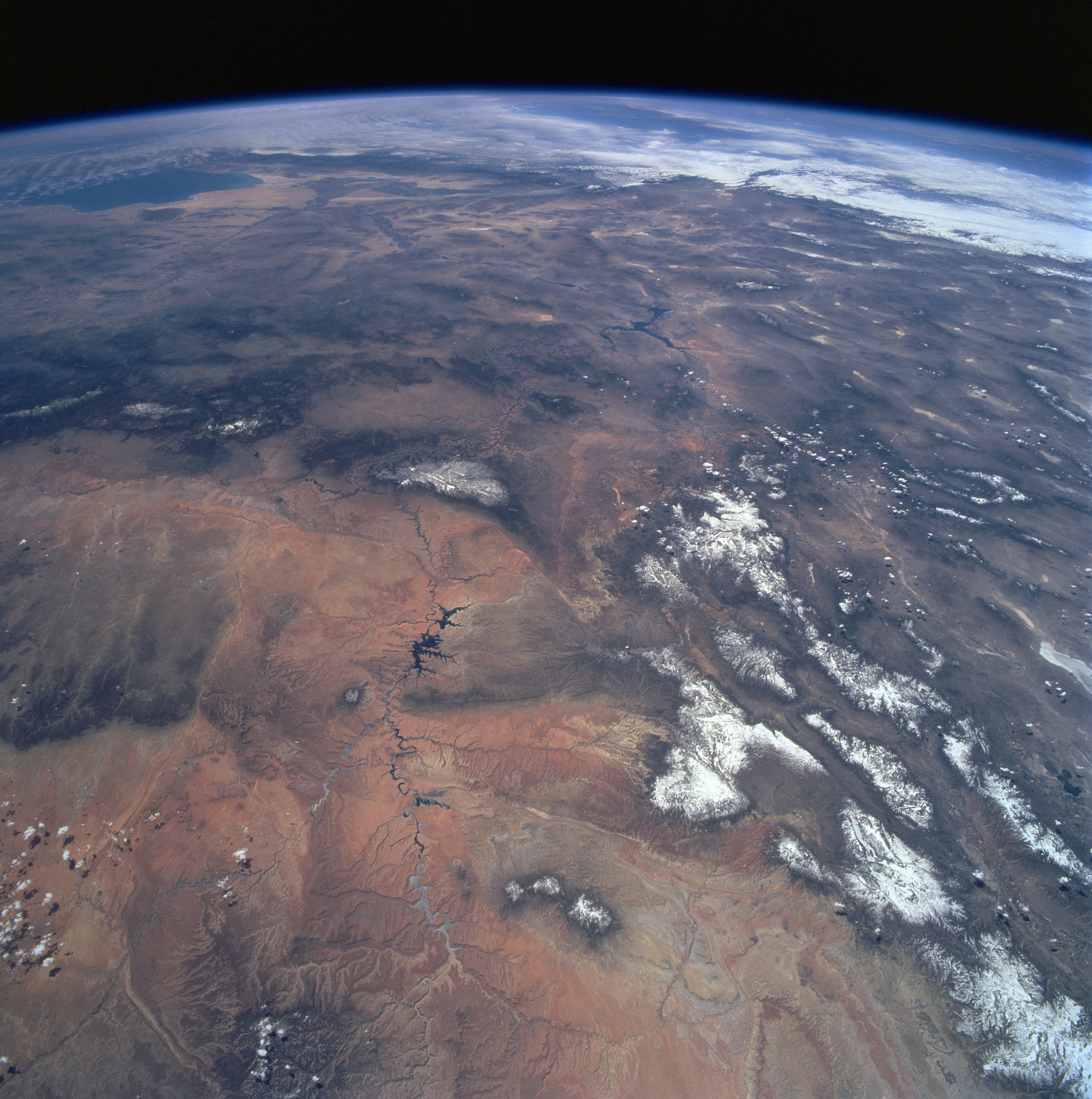
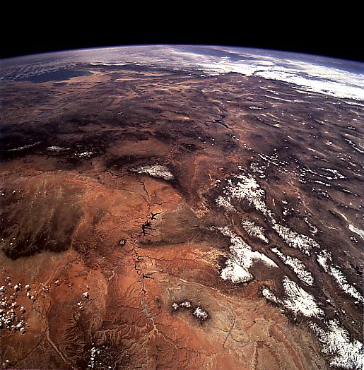
No GeoTIFF is available for this photo.Image Caption: STS090-729-071 Colorado River Valley, Arizona, USA April 1998
This photograph shows a panoramic view of the Colorado River as it makes its way southwesterly towards the Gulf of California (upper left corner of image). Lake Powell and Lake Mead (dark, irregular shaped features left of center) help to identify the winding course of the Colorado River as it cuts through the elevated, desert landscape. The higher elevations of the Colorado Plateau northwest of the river are snow covered; while the Painted Desert southeast of the river is not. On its journey to the gulf the Colorado River is forced to detour around a key landmark, the triangular shaped Kaibab Plateau, that shows some covering of snow near the center of the photograph.
This photograph shows a panoramic view of the Colorado River as it makes its way southwesterly towards the Gulf of California (upper left corner of image). Lake Powell and Lake Mead (dark, irregular shaped features left of center) help to identify the winding course of the Colorado River as it cuts through the elevated, desert landscape. The higher elevations of the Colorado Plateau northwest of the river are snow covered; while the Painted Desert southeast of the river is not. On its journey to the gulf the Colorado River is forced to detour around a key landmark, the triangular shaped Kaibab Plateau, that shows some covering of snow near the center of the photograph.
