< NM22-727-71 >
| NASA Photo ID | NM22-727-71 |
| Focal Length | 250mm |
| Date taken | 1996.10.29 |
| Time taken | GMT |
Resolutions offered for this image:
4042 x 4042 pixels 640 x 640 pixels 5700 x 6000 pixels 500 x 526 pixels 648 x 666 pixels 478 x 480 pixels
4042 x 4042 pixels 640 x 640 pixels 5700 x 6000 pixels 500 x 526 pixels 648 x 666 pixels 478 x 480 pixels


Cloud masks available for this image:
Spacecraft nadir point:
Photo center point: 34.0° N, 111.0° W
Photo center point by machine learning:
Photo center point: 34.0° N, 111.0° W
Photo center point by machine learning:
Nadir to Photo Center: Southwest
Spacecraft Altitude: nautical miles (0km)
Country or Geographic Name: | USA-ARIZONA |
Features: | THEODORE ROOSEVELT LAKE |
| Features Found Using Machine Learning: | |
Cloud Cover Percentage: | 0 (no clouds present) |
Sun Elevation Angle: | ° |
Sun Azimuth: | ° |
Camera: | Hasselblad |
Focal Length: | 250mm |
Camera Tilt: | Low Oblique |
Format: | 5046: Kodak, natural color positive, Lumiere 100/5046, ASA 100, standard base |
Film Exposure: | Normal |
| Additional Information | |
| Width | Height | Annotated | Cropped | Purpose | Links |
|---|---|---|---|---|---|
| 4042 pixels | 4042 pixels | No | No | Earth From Space collection | Download Image |
| 640 pixels | 640 pixels | No | No | Earth From Space collection | Download Image |
| 5700 pixels | 6000 pixels | No | No | Download Image | |
| 500 pixels | 526 pixels | No | No | Download Image | |
| 648 pixels | 666 pixels | No | No | Download Image | |
| 478 pixels | 480 pixels | Download Image |
Download Packaged File
Download a Google Earth KML for this Image
View photo footprint information
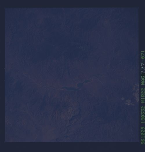
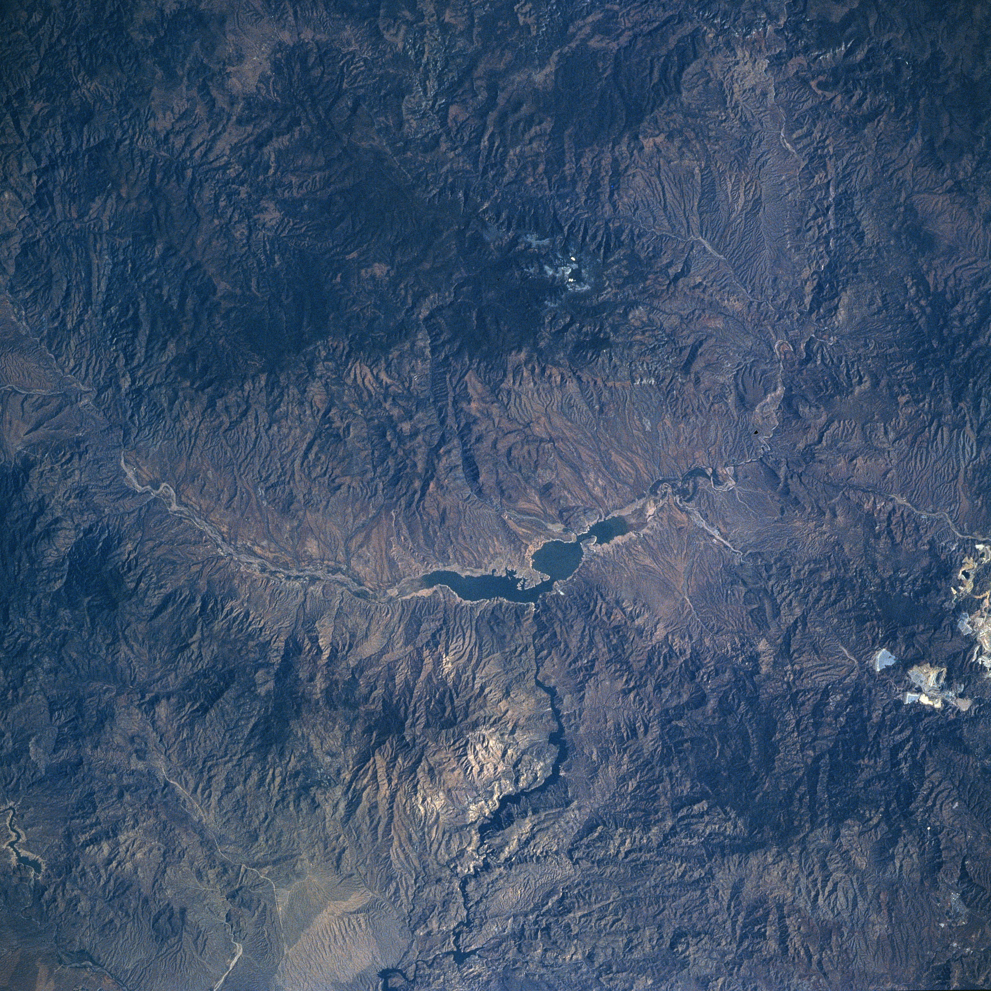
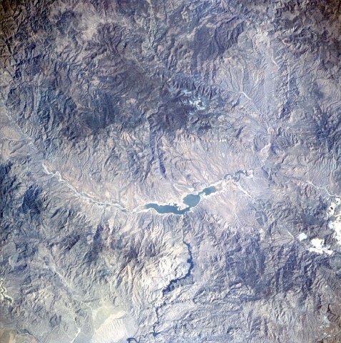
No GeoTIFF is available for this photo.Image Caption: NM22-727-071 Theodore Roosevelt Lake, Arizona, USA Fall-Winter 1996
Rugged mountainous terrain surrounds an elongated and irregular shaped Theodore Roosevelt Lake. This reservoir used to stretch for 30 miles (48 kilometers) but it is gradually shrinking in length as silt is accumulating at both ends of the lake. Theodore Roosevelt Lake is part of the Tonto drainage basin and is fed intermittently by the Salt River, which flows into the eastern end of the lake. The water from this manmade lake exists via the Theodore Roosevelt Dam, which is located towards the midway point along the south side of the lake. The Salt River continues westward, providing some of the water that is supplied to the greater Phoenix metropolitan area, located 55 miles (90 kilometers) west of the lake. The light colored terrain along the southeast side of the image shows scars on the landscape from the silver and copper mining activities near Globe.
Rugged mountainous terrain surrounds an elongated and irregular shaped Theodore Roosevelt Lake. This reservoir used to stretch for 30 miles (48 kilometers) but it is gradually shrinking in length as silt is accumulating at both ends of the lake. Theodore Roosevelt Lake is part of the Tonto drainage basin and is fed intermittently by the Salt River, which flows into the eastern end of the lake. The water from this manmade lake exists via the Theodore Roosevelt Dam, which is located towards the midway point along the south side of the lake. The Salt River continues westward, providing some of the water that is supplied to the greater Phoenix metropolitan area, located 55 miles (90 kilometers) west of the lake. The light colored terrain along the southeast side of the image shows scars on the landscape from the silver and copper mining activities near Globe.
