< STS034-73-70 >
| NASA Photo ID | STS034-73-70 |
| Focal Length | 250mm |
| Date taken | 1989.10.19 |
| Time taken | 21:54:37 GMT |
Resolutions offered for this image:
789 x 801 pixels 3904 x 3904 pixels 639 x 639 pixels 5700 x 5900 pixels 500 x 518 pixels 640 x 480 pixels
789 x 801 pixels 3904 x 3904 pixels 639 x 639 pixels 5700 x 5900 pixels 500 x 518 pixels 640 x 480 pixels

Cloud masks available for this image:
Spacecraft nadir point: 31.0° N, 97.7° W
Photo center point: 30.5° N, 97.5° W
Photo center point by machine learning:
Photo center point: 30.5° N, 97.5° W
Photo center point by machine learning:
Nadir to Photo Center: South
Spacecraft Altitude: 170 nautical miles (315km)
Country or Geographic Name: | USA-TEXAS |
Features: | AUSTIN, COLORADO RIVER |
| Features Found Using Machine Learning: | |
Cloud Cover Percentage: | 0 (no clouds present) |
Sun Elevation Angle: | 23° |
Sun Azimuth: | 241° |
Camera: | Hasselblad |
Focal Length: | 250mm |
Camera Tilt: | 11 degrees |
Format: | 5017: Kodak, natural color positive, Ektachrome, X Professional, ASA 64, standard base |
Film Exposure: | Normal |
| Additional Information | |
| Width | Height | Annotated | Cropped | Purpose | Links |
|---|---|---|---|---|---|
| 789 pixels | 801 pixels | No | No | Cities collection | Download Image |
| 3904 pixels | 3904 pixels | No | No | Earth From Space collection | Download Image |
| 639 pixels | 639 pixels | No | No | Earth From Space collection | Download Image |
| 5700 pixels | 5900 pixels | No | No | Download Image Download Color Calibration Image for this Image |
|
| 500 pixels | 518 pixels | No | No | Download Image Download Color Calibration Image for this Image |
|
| 640 pixels | 480 pixels | No | No | Download Image |
Download Packaged File
Download a Google Earth KML for this Image
View photo footprint information
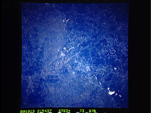
No GeoTIFF is available for this photo.Image Caption: STS034-73-70 Austin, Texas, U.S.A. October 1989
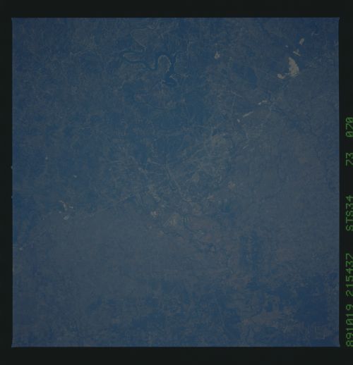
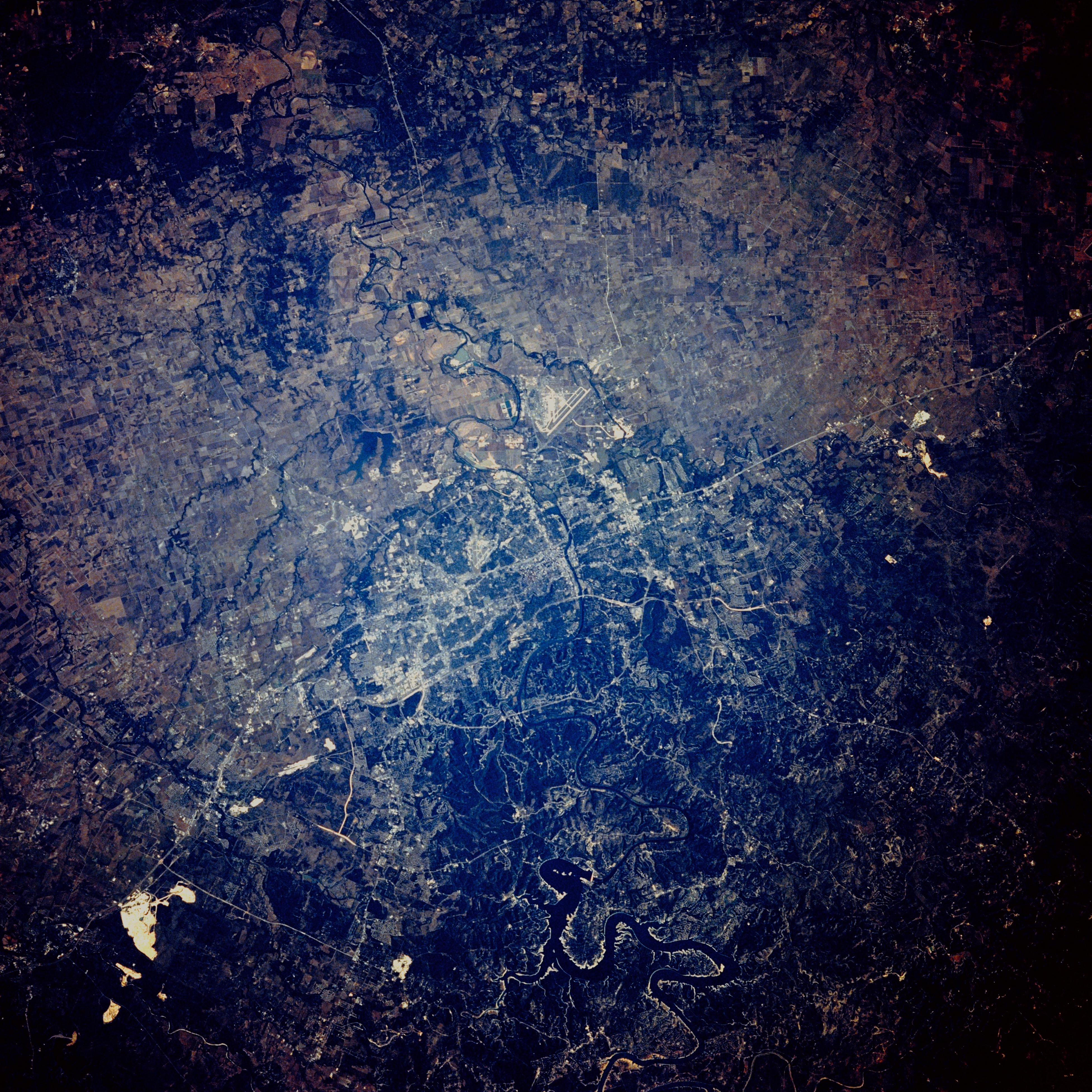
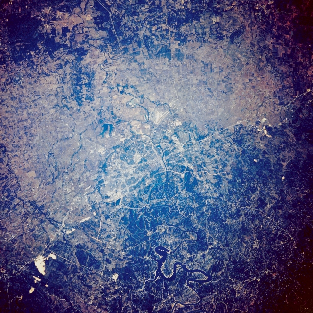
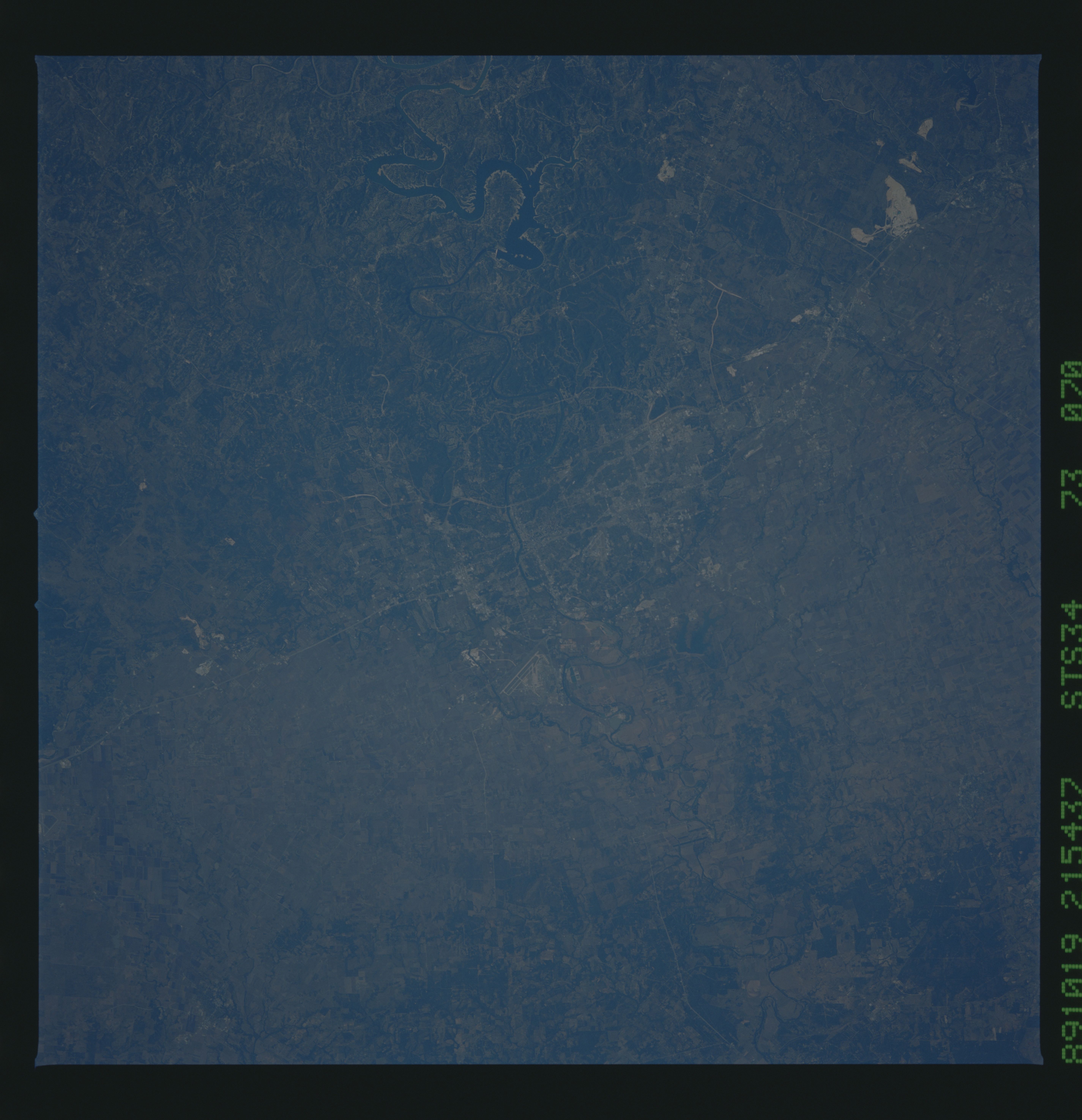
Centered on Austin; extends from Buda to Georgetown. Austin, the state capital, shows two different geologic provinces--the low, rolling Black Prairie to the east where agriculture and ranching predominate, and a dissected, uplifted plateau of limestone to the west. The Balcones fault, a northeast-southwest demarcation of these two geologic areas, creates the Balcones escarpment that extends through the western half of Austin. Visible are natural and manmade features--the southeast-flowing Colorado River along the southern edge of downtown Austin; eastern part of dark, serpentine Lake Travis almost to Bastrop (bottom center); the runway of Bergstrom Air Force Base southeast of the city; and several white limestone mines north and south of the city and west of Interstate Highway 35.
Centered on Austin; extends from Buda to Georgetown. Austin, the state capital, shows two different geologic provinces--the low, rolling Black Prairie to the east where agriculture and ranching predominate, and a dissected, uplifted plateau of limestone to the west. The Balcones fault, a northeast-southwest demarcation of these two geologic areas, creates the Balcones escarpment that extends through the western half of Austin. Visible are natural and manmade features--the southeast-flowing Colorado River along the southern edge of downtown Austin; eastern part of dark, serpentine Lake Travis almost to Bastrop (bottom center); the runway of Bergstrom Air Force Base southeast of the city; and several white limestone mines north and south of the city and west of Interstate Highway 35.
