< STS125-E-6886 >

| NASA Photo ID | STS125-E-6886 |
| Focal Length | 42mm |
| Date taken | 2009.05.13 |
| Time taken | 10:13:43 GMT |
Cloud masks available for this image:
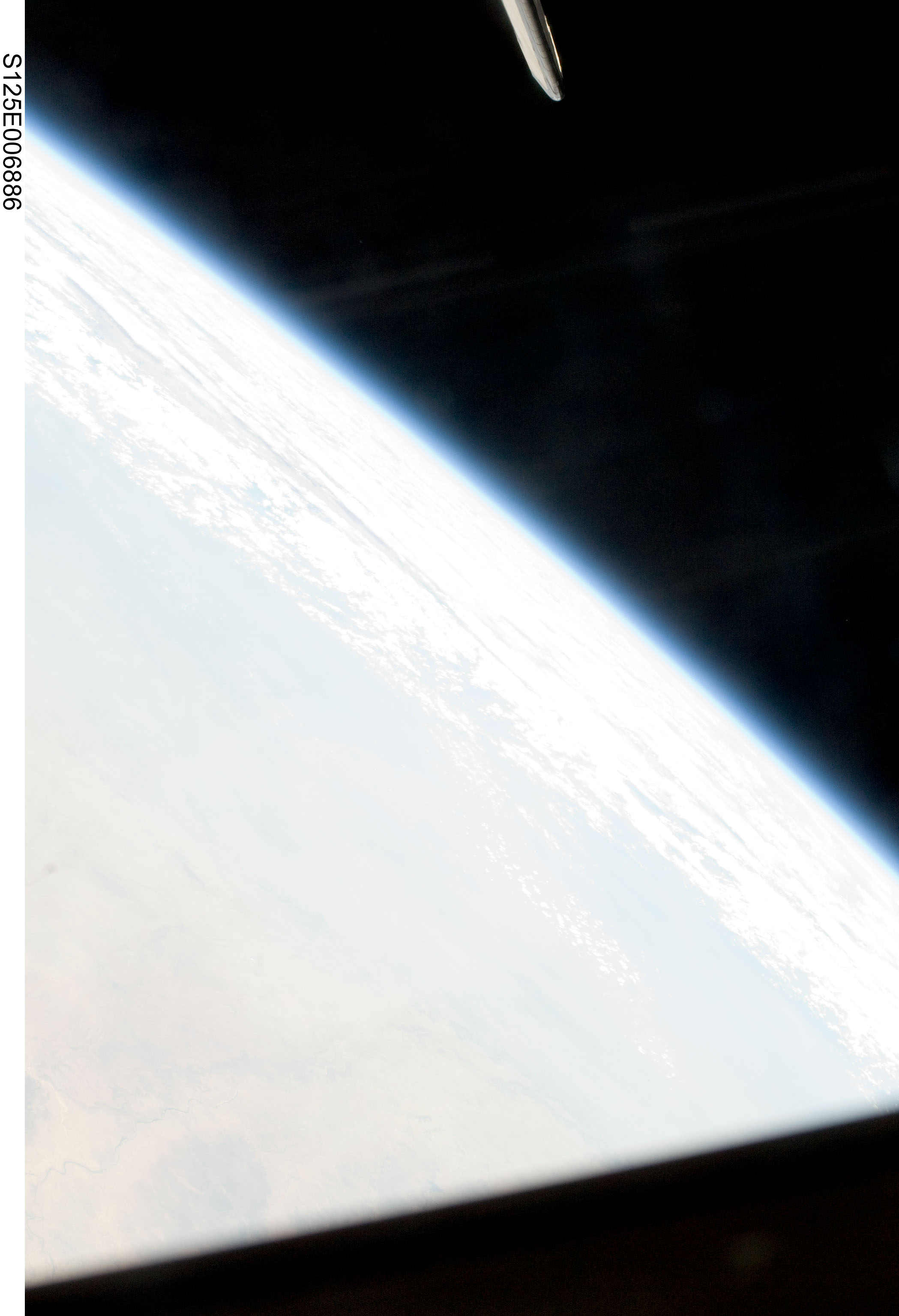
Spacecraft nadir point: 22.2° N, 76.0° E
Photo center point:
Photo center point by machine learning:
Photo center point:
Photo center point by machine learning:
Nadir to Photo Center:
Spacecraft Altitude: 158 nautical miles (293km)
Country or Geographic Name: | |
Features: | |
| Features Found Using Machine Learning: | PAN- |
Cloud Cover Percentage: | |
Sun Elevation Angle: | 43° |
Sun Azimuth: | 275° |
Camera: | NIKON |
Focal Length: | 42mm |
Camera Tilt: | |
Format: | |
Film Exposure: | |
| Additional Information | |
| Width | Height | Annotated | Cropped | Purpose | Links |
|---|---|---|---|---|---|
| 2098 pixels | 3072 pixels | No | No | Download Image | |
| 437 pixels | 640 pixels | No | No | Download Image |
Download Packaged File
Download a Google Earth KML for this Image
View photo footprint information
No GeoTIFF is available for this photo.Image Caption: none
