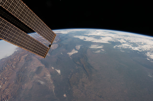
< ISS042-E-68015 >
| NASA Photo ID | ISS042-E-68015 |
| Focal Length | 23mm |
| Date taken | 2014.12.25 |
| Time taken | 11:15:49 GMT |
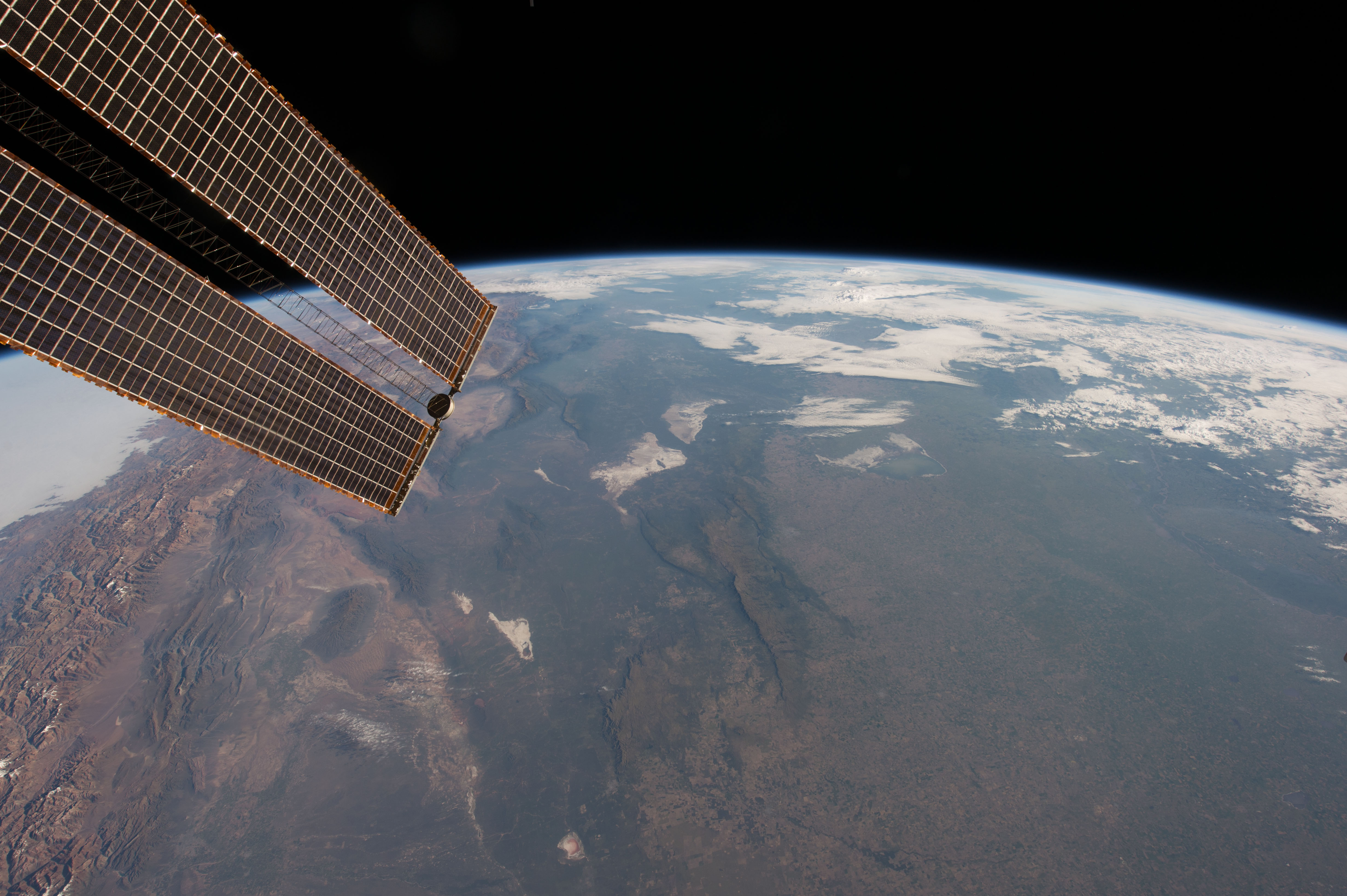
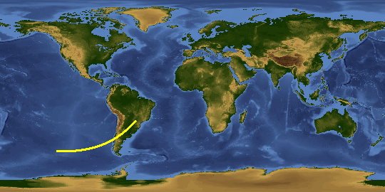
Spacecraft nadir point: 35.8° S, 66.5° W
Photo center point:
Photo center point by machine learning:
Photo center point:
Photo center point by machine learning:
Nadir to Photo Center:
Spacecraft Altitude: 225 nautical miles (417km)
Country or Geographic Name: | |
Features: | |
| Features Found Using Machine Learning: | PAN- |
Cloud Cover Percentage: | 11 (11-25)% |
Sun Elevation Angle: | 23° |
Sun Azimuth: | 103° |
Camera: | NIKON D4 S/N: 2071123 |
Focal Length: | 23mm |
Camera Tilt: | |
Format: | |
Film Exposure: | |
| Additional Information | |
This photo is one of the photos used to create this time-lapse video:
| Width | Height | Annotated | Cropped | Purpose | Links |
|---|---|---|---|---|---|
| 4928 pixels | 3280 pixels | No | No | Download Image | |
| 640 pixels | 426 pixels | No | No | Download Image |
Download Packaged File
Download a Google Earth KML for this Image
View photo footprint information
No GeoTIFF is available for this photo.Image Caption: none
