< STS034-74-67 >
| NASA Photo ID | STS034-74-67 |
| Focal Length | 250mm |
| Date taken | 1989.10.22 |
| Time taken | 19:19:43 GMT |
Resolutions offered for this image:
5700 x 5900 pixels 500 x 518 pixels 640 x 480 pixels 3197 x 3158 pixels 3404 x 3364 pixels
5700 x 5900 pixels 500 x 518 pixels 640 x 480 pixels 3197 x 3158 pixels 3404 x 3364 pixels

Cloud masks available for this image:
Spacecraft nadir point: 34.4° N, 113.3° W
Photo center point: 33.5° N, 112.0° W
Photo center point by machine learning:
Photo center point: 33.5° N, 112.0° W
Photo center point by machine learning:
Nadir to Photo Center: Southeast
Spacecraft Altitude: 179 nautical miles (332km)
Camera: | Hasselblad |
Focal Length: | 250mm |
Camera Tilt: | 28 degrees |
Format: | 5017: Kodak, natural color positive, Ektachrome, X Professional, ASA 64, standard base |
Film Exposure: | Normal |
| Additional Information | |
| Width | Height | Annotated | Cropped | Purpose | Links |
|---|---|---|---|---|---|
| 5700 pixels | 5900 pixels | No | No | Download Image Download Color Calibration Image for this Image |
|
| 500 pixels | 518 pixels | No | No | Download Image Download Color Calibration Image for this Image |
|
| 640 pixels | 480 pixels | No | No | Download Image | |
| 3197 pixels | 3158 pixels | Download Image | |||
| 3404 pixels | 3364 pixels | Download Image |
Download Packaged File
Download a Google Earth KML for this Image
View photo footprint information
No GeoTIFF is available for this photo.Image Caption:
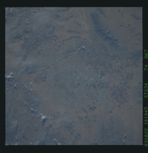
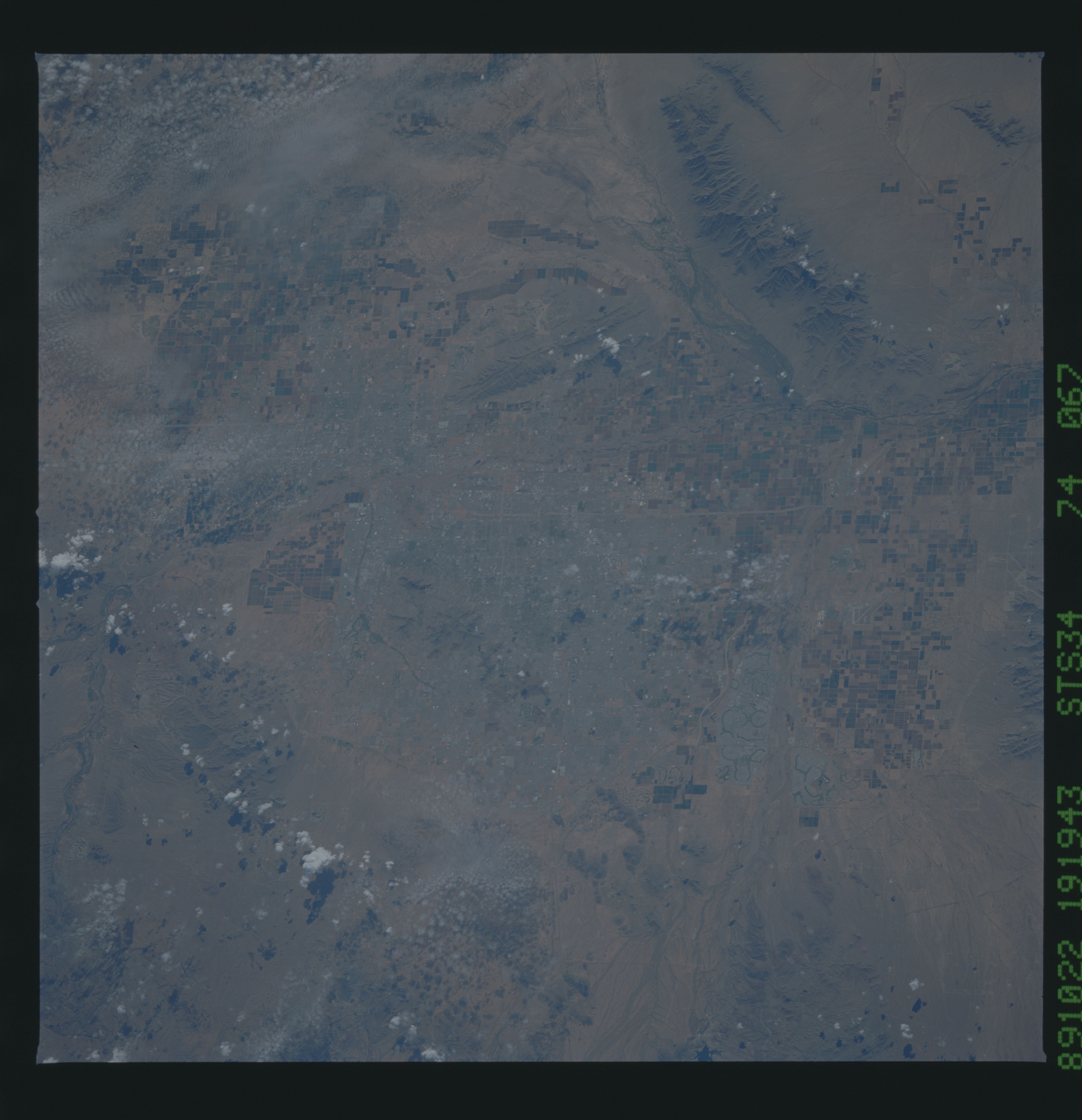
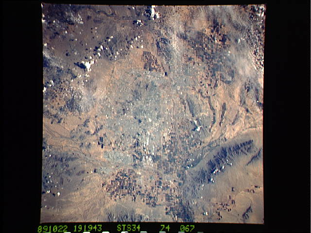
Phoenix-Tempe, Arizona, 1989. The urban sprawl of this metroplex
and consequent demise of agriculture in this region should be
contrasted with the respective farm and urban areas evident to
Skylab in 1973 (see SL3-86-011). NASA Photograph STS034-74- 067.
Phoenix-Tempe, Arizona, 1989. The urban sprawl of this metroplex
and consequent demise of agriculture in this region should be
contrasted with the respective farm and urban areas evident to
Skylab in 1973 (see SL3-86-011). NASA Photograph STS034-74- 067.
