< STS026-40-65 >
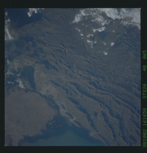
| NASA Photo ID | STS026-40-65 |
| Focal Length | 250mm |
| Date taken | 1988.10.02 |
| Time taken | 21:16:58 GMT |

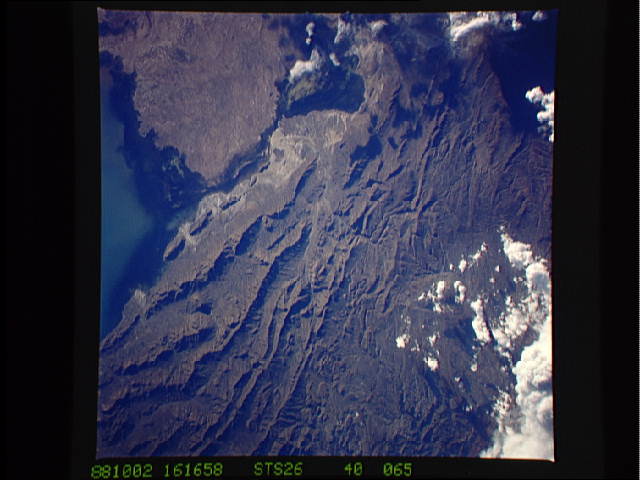
Cloud masks available for this image:
Spacecraft nadir point: 16.7° S, 66.6° W
Photo center point: 18.5° S, 66.5° W
Photo center point by machine learning:
Photo center point: 18.5° S, 66.5° W
Photo center point by machine learning:
Nadir to Photo Center: South
Spacecraft Altitude: 164 nautical miles (304km)Body: Earth
Country or Geographic Name: | BOLIVIA |
Features: | L. POOPO, CORD. ALACITAS |
| Features Found Using Machine Learning: | |
Cloud Cover Percentage: | 20 (11-25)% |
Sun Elevation Angle: | 15° |
Sun Azimuth: | 270° |
Camera: | Hasselblad |
Focal Length: | 250mm |
Camera Tilt: | Near Vertical |
Format: | 5017: Kodak, natural color positive, Ektachrome, X Professional, ASA 64, standard base |
Film Exposure: | Normal |
| Additional Information | |
| Width | Height | Annotated | Cropped | Purpose | Links |
|---|---|---|---|---|---|
| 5700 pixels | 5900 pixels | No | No | Download Image | |
| 500 pixels | 518 pixels | No | No | Download Image | |
| 640 pixels | 480 pixels | No | No | Download Image |
Download Packaged File
Download a Google Earth KML for this Image
View photo footprint information
No GeoTIFF is available for this photo.Image Caption: STS026-40-65 Lake Uru Uru/Alachas Mountains This scene gives a closer
view of Lake Uru Uru and the stream connecting to Lake Poopo at the
bottom center of the view. The Alachas Mountains can be seen covering
most of the right portion of the photograph. The city of Oruro,
Bolivia (1), is barely visible under the shadow of a cloud. Oruro,
with a population in excess of 125 000, sits at an altitude of 3700
meters and is a leading center for silver, copper, and tin mining in
the region.
view of Lake Uru Uru and the stream connecting to Lake Poopo at the
bottom center of the view. The Alachas Mountains can be seen covering
most of the right portion of the photograph. The city of Oruro,
Bolivia (1), is barely visible under the shadow of a cloud. Oruro,
with a population in excess of 125 000, sits at an altitude of 3700
meters and is a leading center for silver, copper, and tin mining in
the region.

