< STS039-83-59 >
| NASA Photo ID | STS039-83-59 |
| Focal Length | 250mm |
| Date taken | 1991.04.29 |
| Time taken | 16:18:11 GMT |
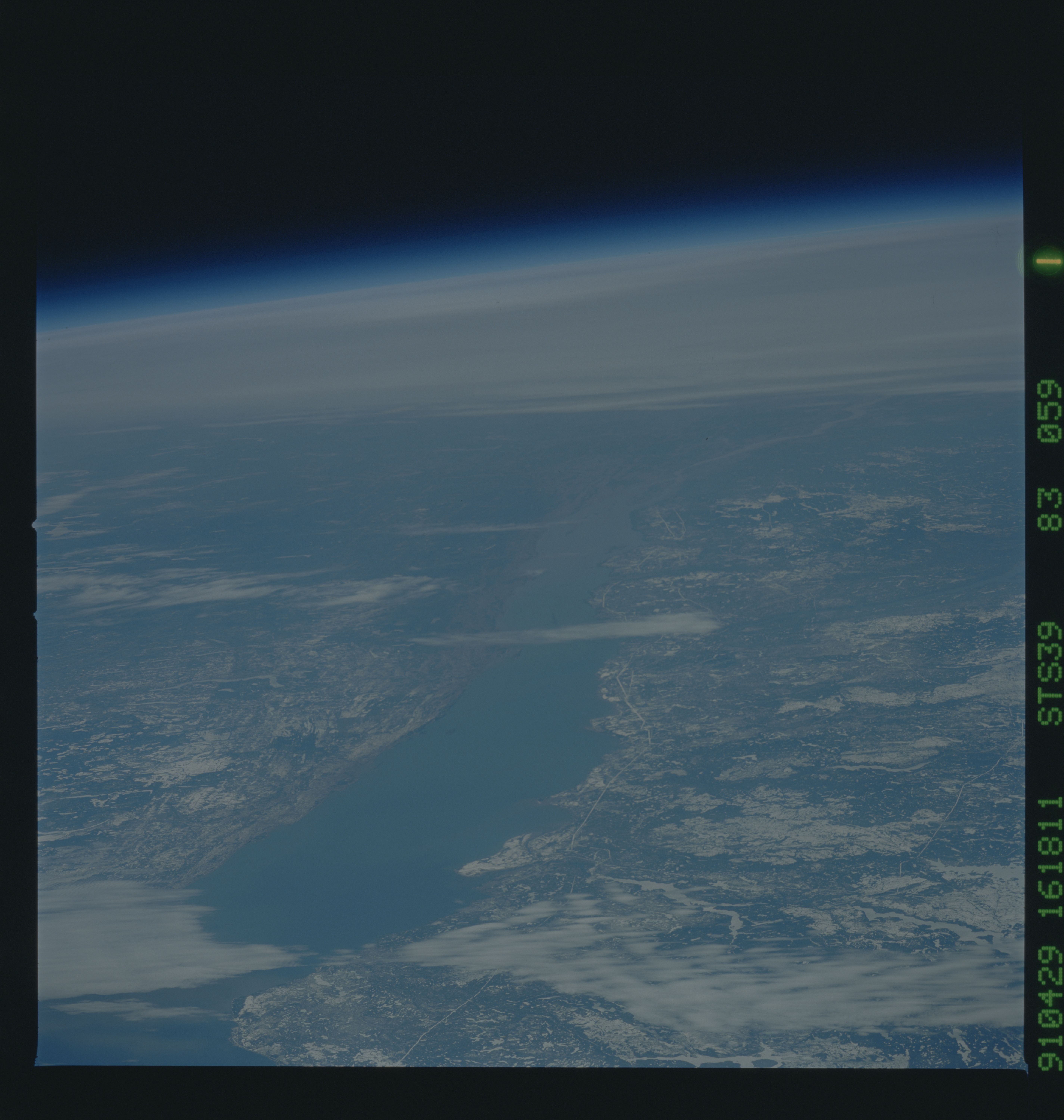
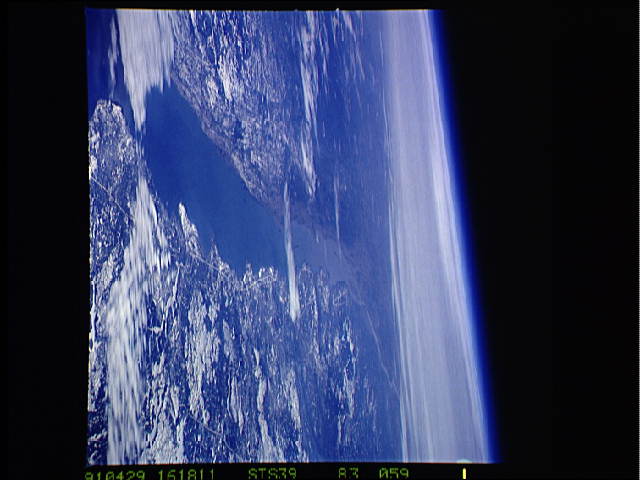
Cloud masks available for this image:
Spacecraft nadir point: 54.6° N, 62.7° W
Photo center point: 47.7° N, 69.6° W
Photo center point by machine learning:
Photo center point: 47.7° N, 69.6° W
Photo center point by machine learning:
Nadir to Photo Center: Southwest
Spacecraft Altitude: 145 nautical miles (269km)Body: Earth
Country or Geographic Name: | CANADA-Q |
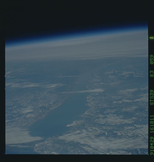
Features: | ST. LAWRENCE SEAWAY, SN/IC |
| Features Found Using Machine Learning: | |
Cloud Cover Percentage: | 25 (11-25)% |
Sun Elevation Angle: | 50° |
Sun Azimuth: | 183° |
Camera: | Hasselblad |
Focal Length: | 250mm |
Camera Tilt: | High Oblique |
Format: | 5017: Kodak, natural color positive, Ektachrome, X Professional, ASA 64, standard base |
Film Exposure: | Normal |
| Additional Information | |
| Width | Height | Annotated | Cropped | Purpose | Links |
|---|---|---|---|---|---|
| 5700 pixels | 6000 pixels | No | No | Download Image | |
| 500 pixels | 526 pixels | No | No | Download Image | |
| 640 pixels | 480 pixels | No | No | Download Image |
Download Packaged File
Download a Google Earth KML for this Image
View photo footprint information
No GeoTIFF is available for this photo.Image Caption: This high oblique view of the St. Lawrence Seaway, Quebec, Canada (47.5N, 69.5W) was taken over southeastern Quebec, looking southwest down the estuary of the St. Lawrence River towards the city of Quebec. The light snow cover enhances the area of forests (dark) and nonforests (light). Most of the large irregular open areas on the Canadian side of the river were previously forested and were burned over during forest fires in 1989.

