< ISS030-E-55791 >
| NASA Photo ID | ISS030-E-55791 |
| Focal Length | 24mm |
| Date taken | 2012.01.29 |
| Time taken | 05:41:10 GMT |
Cloud masks available for this image:
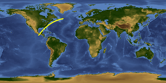
Spacecraft nadir point: 36.1° N, 74.1° W
Photo center point:
Photo center point by machine learning:
Photo center point:
Photo center point by machine learning:
Nadir to Photo Center:
Spacecraft Altitude: 205 nautical miles (380km)Body: Earth
Country or Geographic Name: | |
Features: | |
| Features Found Using Machine Learning: | AURORA, PAN- |
Cloud Cover Percentage: | |
Sun Elevation Angle: | -71° |
Sun Azimuth: | 24° |
Camera: | NIKON D3S S/N: 2053892 |
Focal Length: | 24mm |
Camera Tilt: | |
Format: | |
Film Exposure: | |
| Additional Information | |
This photo is one of the photos used to create this time-lapse video:
| Width | Height | Annotated | Cropped | Purpose | Links |
|---|---|---|---|---|---|
| 4256 pixels | 2832 pixels | No | No | Download Image | |
| 640 pixels | 426 pixels | No | No | Download Image |
Download Packaged File
Download a Google Earth KML for this Image
View photo footprint information
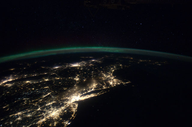
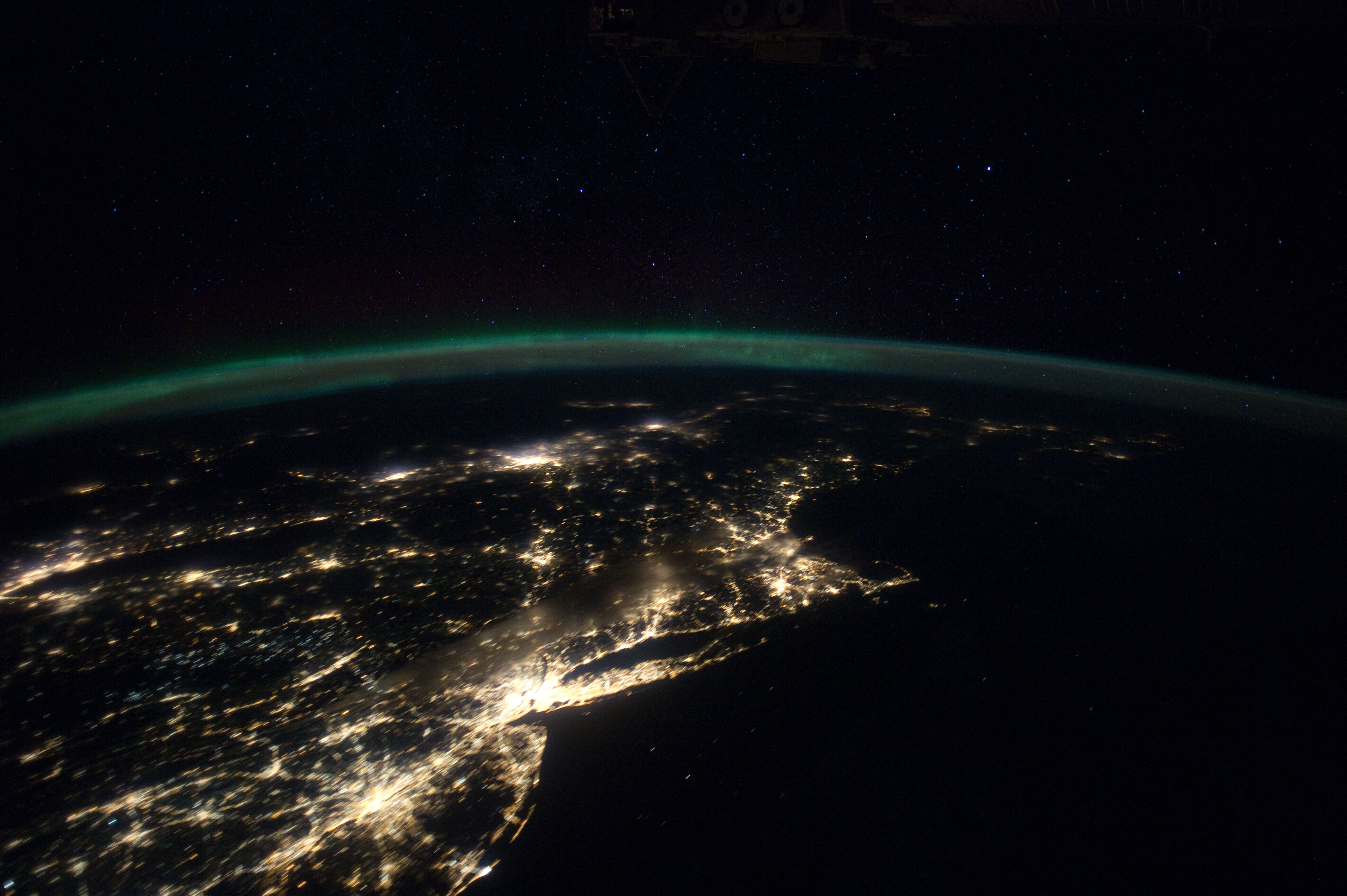
No GeoTIFF is available for this photo.Image Caption: ISS030-E-055791 (29 Jan. 2012) --- This Jan. 29 panorama of much of the East Coast, photographed by one of the Expedition 30 crew members aboard the International Space Station, provides a look generally northeastward: Philadelphia-New York City-Boston corridor (bottom-center); western Lake Ontario shoreline with Toronto (left edge); Montreal (near center). An optical illusion in the photo makes the atmospheric limb and light activity from Aurora Borealis appear intertwined.

