< ISS030-E-55533 >
| NASA Photo ID | ISS030-E-55533 |
| Focal Length | 24mm |
| Date taken | 2012.01.29 |
| Time taken | 05:36:52 GMT |
Cloud masks available for this image:
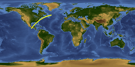
Spacecraft nadir point: 24.4° N, 87.1° W
Photo center point:
Photo center point by machine learning:
Photo center point:
Photo center point by machine learning:
Nadir to Photo Center:
Spacecraft Altitude: 204 nautical miles (378km)Body: Earth
Country or Geographic Name: | |
Features: | |
| Features Found Using Machine Learning: | PAN- |
Cloud Cover Percentage: | 0 (no clouds present) |
Sun Elevation Angle: | -82° |
Sun Azimuth: | 316° |
Camera: | NIKON D3S S/N: 2053892 |
Focal Length: | 24mm |
Camera Tilt: | |
Format: | |
Film Exposure: | |
| Additional Information | |
This photo is one of the photos used to create this time-lapse video:
| Width | Height | Annotated | Cropped | Purpose | Links |
|---|---|---|---|---|---|
| 4256 pixels | 2832 pixels | No | No | Download Image | |
| 640 pixels | 426 pixels | No | No | Download Image |
Download Packaged File
Download a Google Earth KML for this Image
View photo footprint information
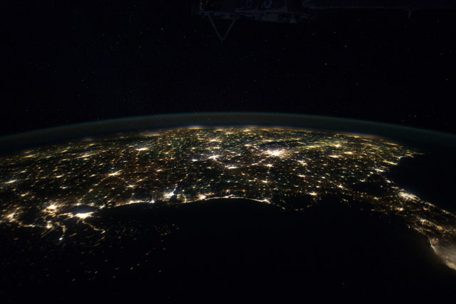
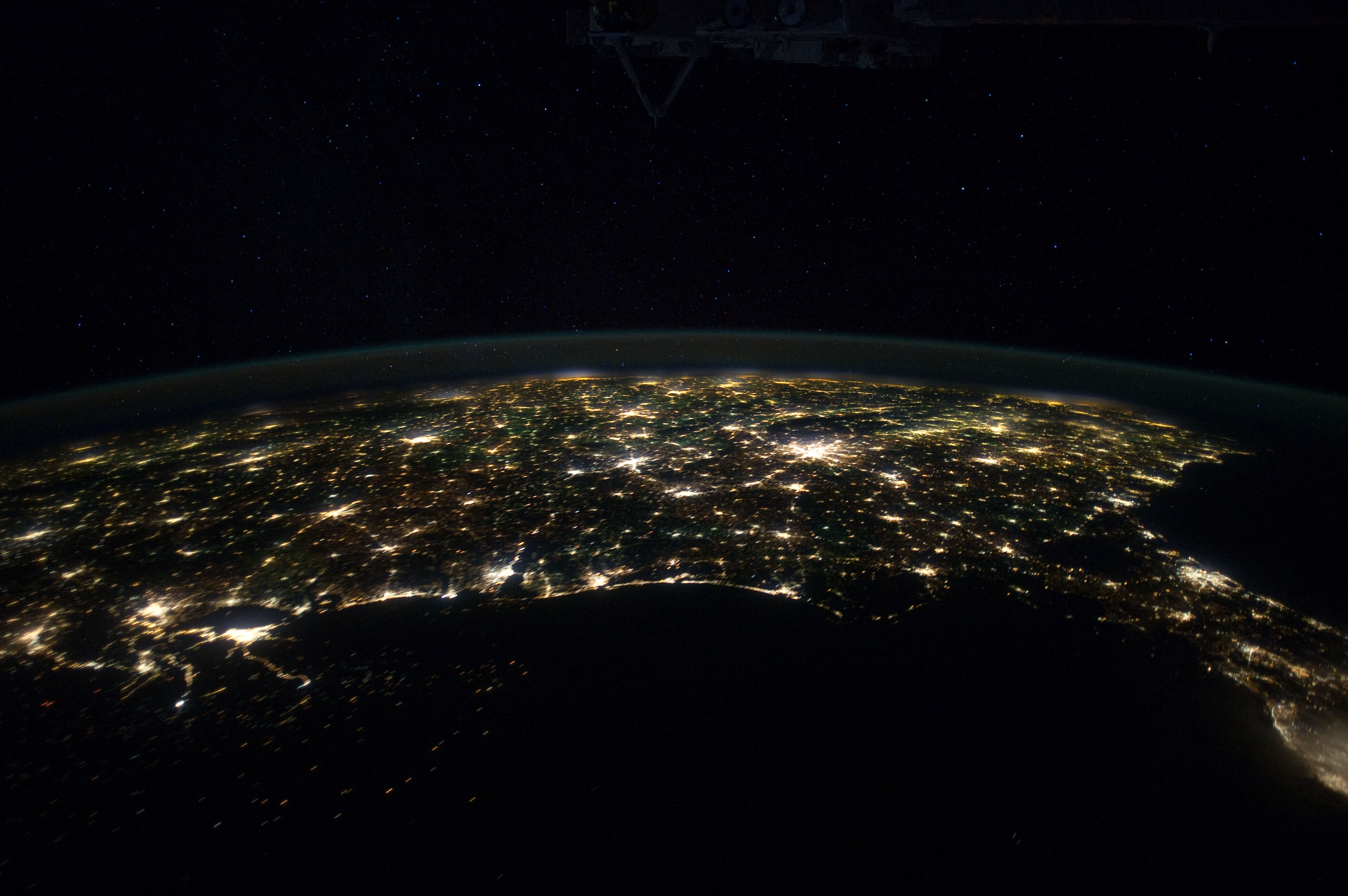
No GeoTIFF is available for this photo.Image Caption: ISS030-E-055533 (29 Jan. 2012) --- This north-looking nighttime panorama of much of the land mass of the eastern two-thirds of the contiguous United States was photographed by one of the Expedition 30 crew members aboard the International Space Station as it was moving over the Gulf of Mexico on Jan. 29, 2012. In this series, the 24-mm images cover the area from the Atlantic Coast (right) to the eastern edge of the southwestern states and the western Gulf of Mexico. In this frame,
Houston is near the left edge. Most of the Florida peninsula is easily recognizable at right edge. The lights of dozens of large metropolitan areas are visible.
Houston is near the left edge. Most of the Florida peninsula is easily recognizable at right edge. The lights of dozens of large metropolitan areas are visible.

