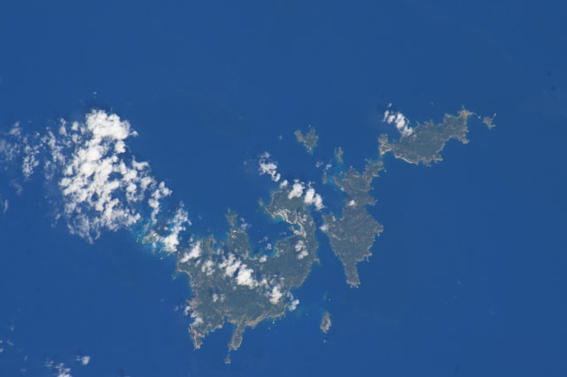
< ISS073-E-519028 >
| NASA Photo ID | ISS073-E-519028 |
| Focal Length | 460mm |
| Date taken | 2025.08.24 |
| Time taken | 00:58:35 GMT |
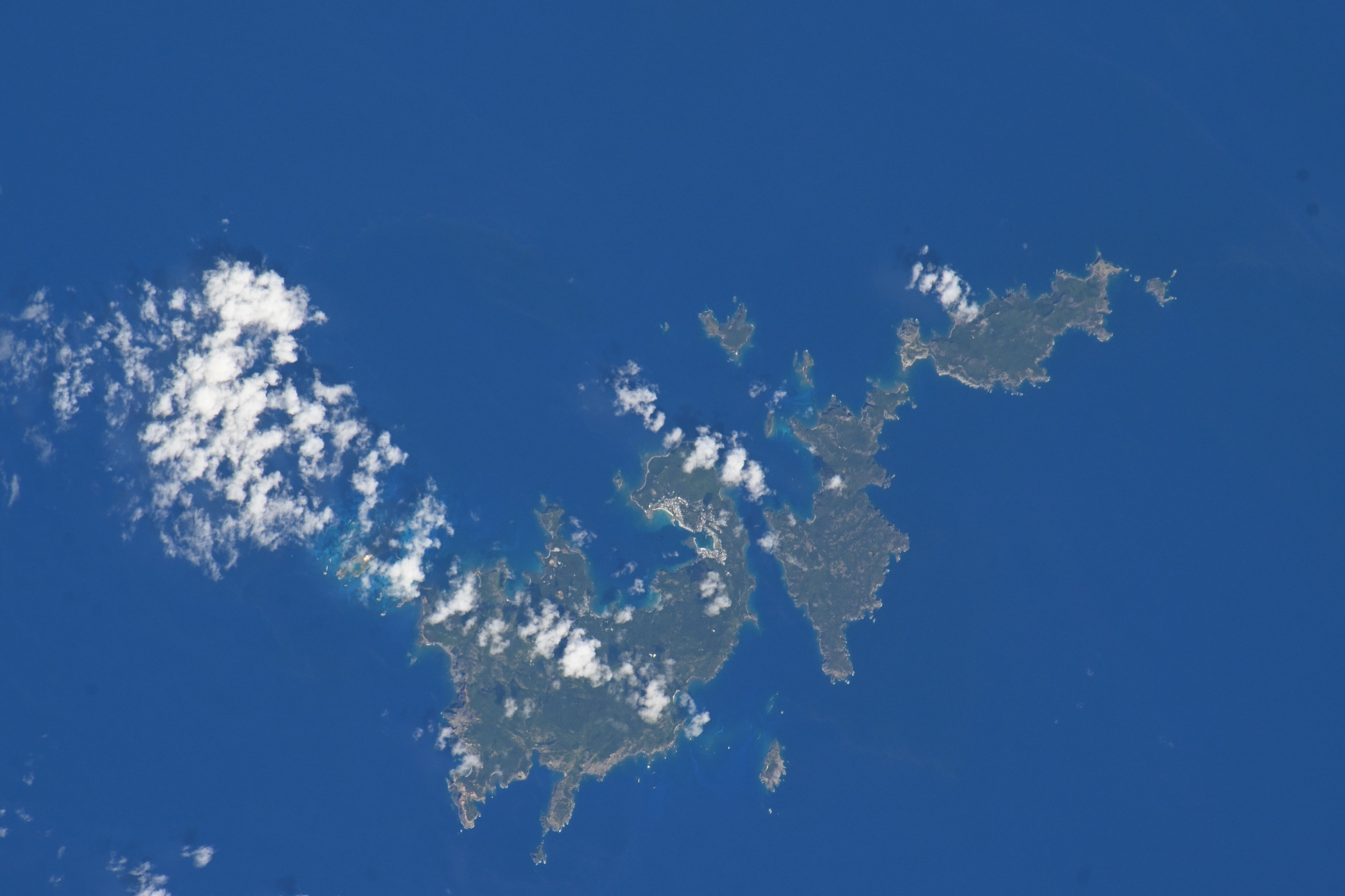
Spacecraft nadir point: 25.1° N, 141.9° E
Photo center point:
Photo center point by machine learning:
Photo center point:
Photo center point by machine learning:
Nadir to Photo Center:
Spacecraft Altitude: 224 nautical miles (415km)
Country or Geographic Name: | |
Features: | |
| Features Found Using Machine Learning: | |
Cloud Cover Percentage: | 5 (1-10)% |
Sun Elevation Angle: | 63° |
Sun Azimuth: | 117° |
Camera: | NIKON Z 9 S/N: 3026919 |
Focal Length: | 460mm |
Camera Tilt: | |
Format: | |
Film Exposure: | |
| Additional Information | |
| Width | Height | Annotated | Cropped | Purpose | Links |
|---|---|---|---|---|---|
| 5392 pixels | 3592 pixels | Download Image | |||
| 640 pixels | 426 pixels | Download Image |
Download Packaged File
Download a Google Earth KML for this Image
View photo footprint information
No GeoTIFF is available for this photo.Image Caption: none
