< AS10-34-5099 >

| NASA Photo ID | AS10-34-5099 |
| Focal Length | mm |
| Date taken | |
| Time taken | GMT |
Cloud masks available for this image:
Spacecraft nadir point:
Photo center point:
Photo center point by machine learning:
Photo center point:
Photo center point by machine learning:
Nadir to Photo Center:
Spacecraft Altitude: nautical miles (0km)
Country or Geographic Name: | |
Features: | |
| Features Found Using Machine Learning: | |
Cloud Cover Percentage: | |
Sun Elevation Angle: | ° |
Sun Azimuth: | ° |
Camera: | |
Focal Length: | mm |
Camera Tilt: | |
Format: | |
Film Exposure: | |
| Additional Information | |
| Width | Height | Annotated | Cropped | Purpose | Links |
|---|---|---|---|---|---|
| 4400 pixels | 4600 pixels | No | No | Download Image | |
| 492 pixels | 515 pixels | No | No | Download Image |
Download Packaged File
Download a Google Earth KML for this Image
View photo footprint information
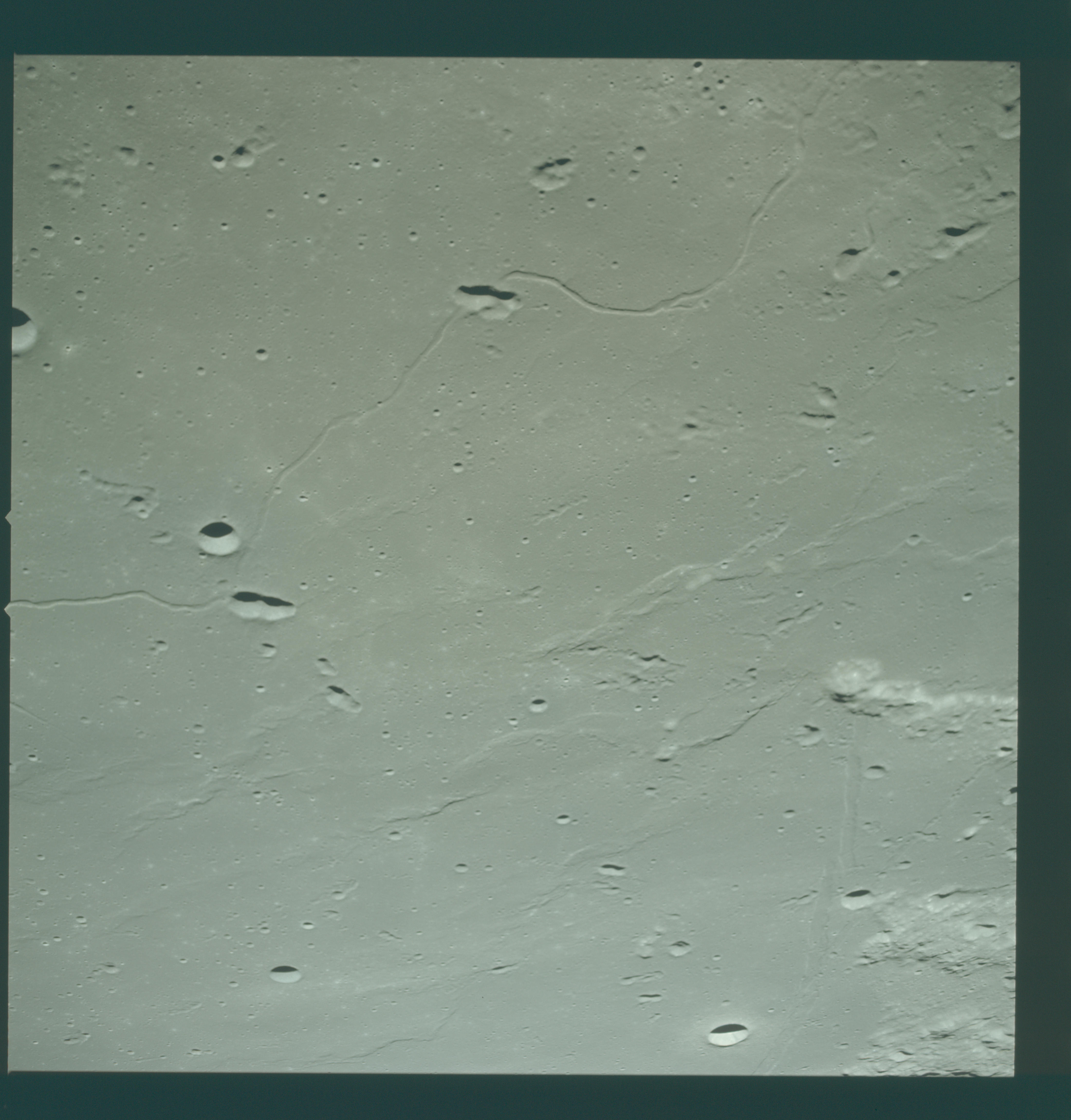
No GeoTIFF is available for this photo.Image Caption: An oblique view of the southwestern portion of the Sea of Tranquility photographed from the Apollo 10 Command Module, showing the approach to Apollo Landing Site 2. West is at top of picture. The lunar landing site is located near the center of the top edge of the photograph. Identifiable features include: Rima Maskelyne I in the foreground; the symmetrical crater Maskelyne X at right middle; the craters Moltke and Moltke 3 in the upper left-hand corner; and Rima Hypatia just left of Moltke.
