< STS034-72-50 >

| NASA Photo ID | STS034-72-50 |
| Focal Length | 250mm |
| Date taken | 1989.10.__ |
| Time taken | GMT |
Resolutions offered for this image:
5239 x 5239 pixels 640 x 640 pixels 5700 x 5900 pixels 500 x 518 pixels 640 x 480 pixels
5239 x 5239 pixels 640 x 640 pixels 5700 x 5900 pixels 500 x 518 pixels 640 x 480 pixels


Cloud masks available for this image:
Spacecraft nadir point:
Photo center point: 36.0° N, 115.0° W
Photo center point by machine learning:
Photo center point: 36.0° N, 115.0° W
Photo center point by machine learning:
Nadir to Photo Center:
Spacecraft Altitude: nautical miles (0km)Body: Earth
Country or Geographic Name: | USA-NEVADA |
Features: | LAS VEGAS |
| Features Found Using Machine Learning: | |
Cloud Cover Percentage: | 0 (no clouds present) |
Sun Elevation Angle: | ° |
Sun Azimuth: | ° |
Camera: | Hasselblad |
Focal Length: | 250mm |
Camera Tilt: | Low Oblique |
Format: | 5017: Kodak, natural color positive, Ektachrome, X Professional, ASA 64, standard base |
Film Exposure: | Normal |
| Additional Information | |
| Width | Height | Annotated | Cropped | Purpose | Links |
|---|---|---|---|---|---|
| 5239 pixels | 5239 pixels | No | No | Earth From Space collection | Download Image |
| 640 pixels | 640 pixels | No | No | Earth From Space collection | Download Image |
| 5700 pixels | 5900 pixels | No | No | Download Image | |
| 500 pixels | 518 pixels | No | No | Download Image | |
| 640 pixels | 480 pixels | No | No | Download Image |
Download Packaged File
Download a Google Earth KML for this Image
View photo footprint information
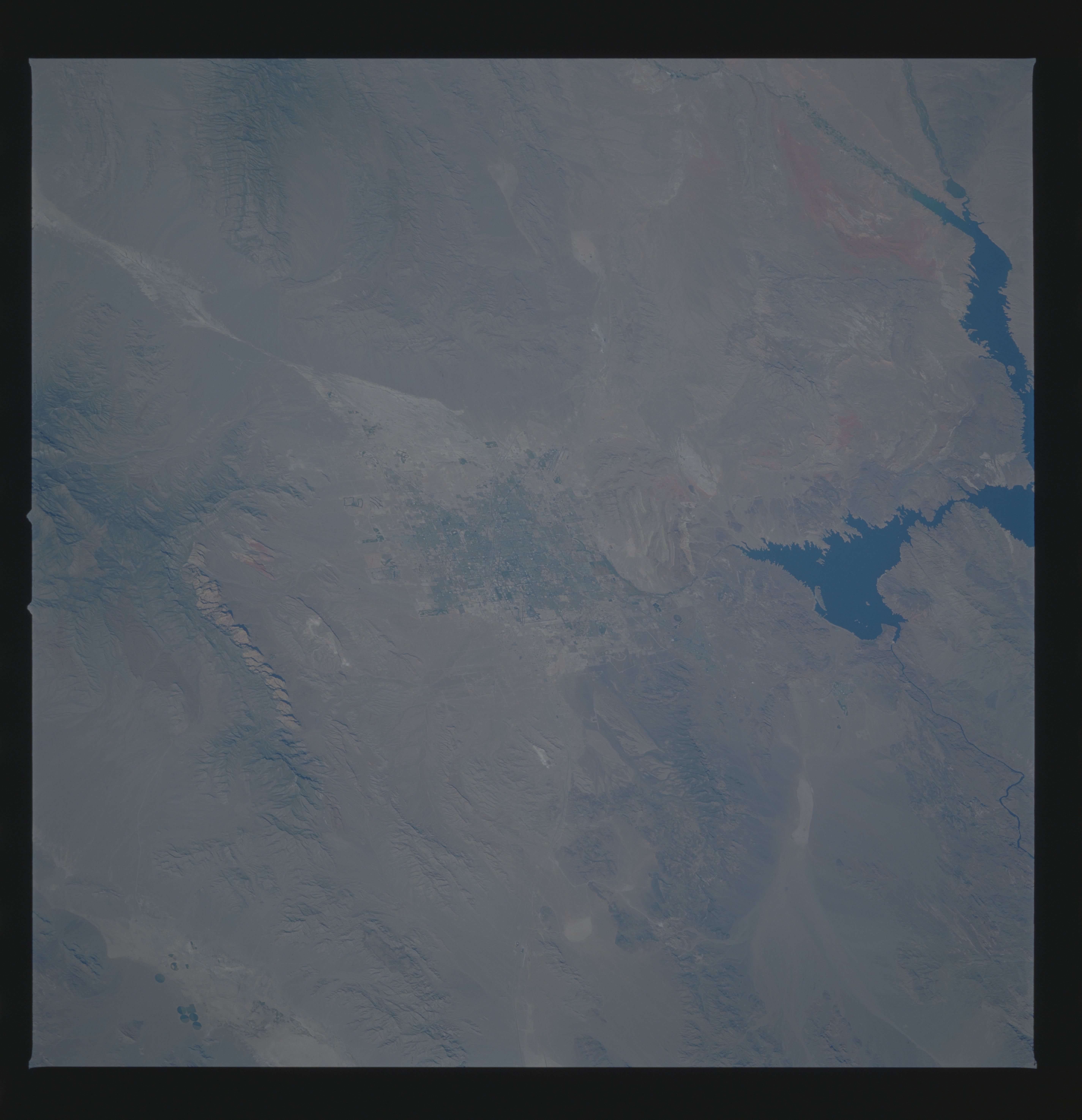
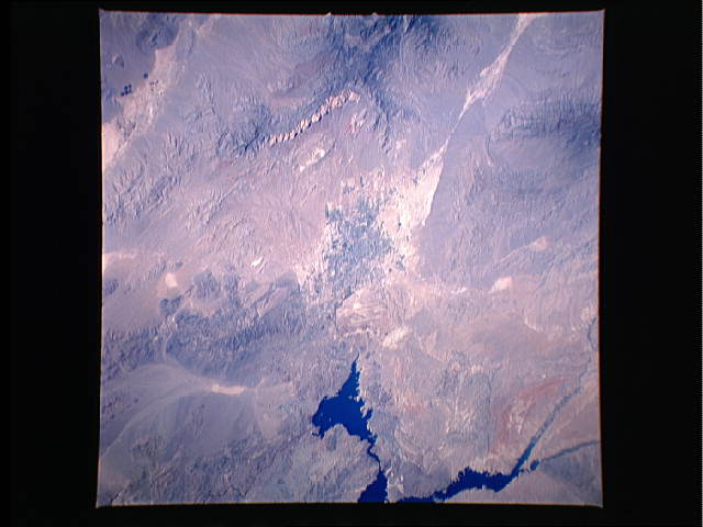
No GeoTIFF is available for this photo.Image Caption: STS034-072-050 Las Vegas, Nevada, U.S.A. October 1989
The city of Las Vegas, which sits in a basin, is visible in the center of this low-oblique, north-looking photograph. The drainage into this basin can be identified northwest of the city (whitish area between two mountain ranges). During occasional heavy rainfall, downtown streets flood--especially the street know as the "Strip," where most of the large hotels and gambling casinos are located. Las Vegas is famous worldwide as a tourist and recreation area and has expanded greatly in the last few decades with the growth of tourism. New residential areas appear west and northwest of the city as expansion continues. The dark blue waters of Lake Mead, one of the largest reservoirs in the United States, are seen east of Las Vegas. Hoover Dam, a white dot at the southern end of the lake, shows where the Colorado River continues its southward flow toward the Gulf of California. Between Lake Mead and Las Vegas are parallel ridges (reddish-white) formed by the tilted sedimentary rock layers of Frenchman Mountain. Visible are the reddish mountains of Red Rock Canyon west of the city and the dark, forested Spring Mountains to the northwest.
The city of Las Vegas, which sits in a basin, is visible in the center of this low-oblique, north-looking photograph. The drainage into this basin can be identified northwest of the city (whitish area between two mountain ranges). During occasional heavy rainfall, downtown streets flood--especially the street know as the "Strip," where most of the large hotels and gambling casinos are located. Las Vegas is famous worldwide as a tourist and recreation area and has expanded greatly in the last few decades with the growth of tourism. New residential areas appear west and northwest of the city as expansion continues. The dark blue waters of Lake Mead, one of the largest reservoirs in the United States, are seen east of Las Vegas. Hoover Dam, a white dot at the southern end of the lake, shows where the Colorado River continues its southward flow toward the Gulf of California. Between Lake Mead and Las Vegas are parallel ridges (reddish-white) formed by the tilted sedimentary rock layers of Frenchman Mountain. Visible are the reddish mountains of Red Rock Canyon west of the city and the dark, forested Spring Mountains to the northwest.

