< STS031-82-5 >
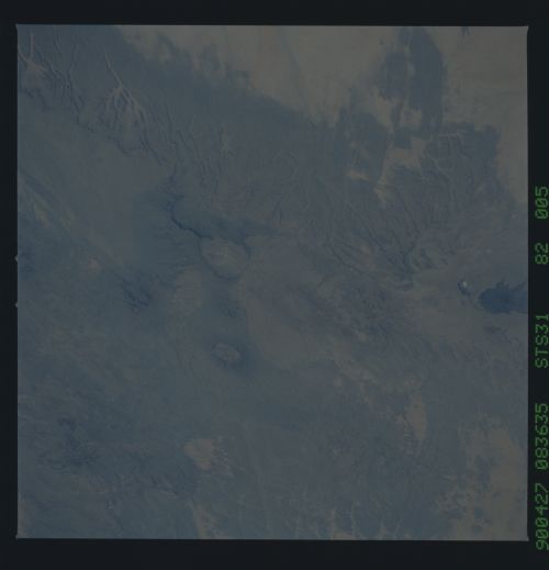
| NASA Photo ID | STS031-82-5 |
| Focal Length | 250mm |
| Date taken | 1990.04.27 |
| Time taken | 08:36:35 GMT |
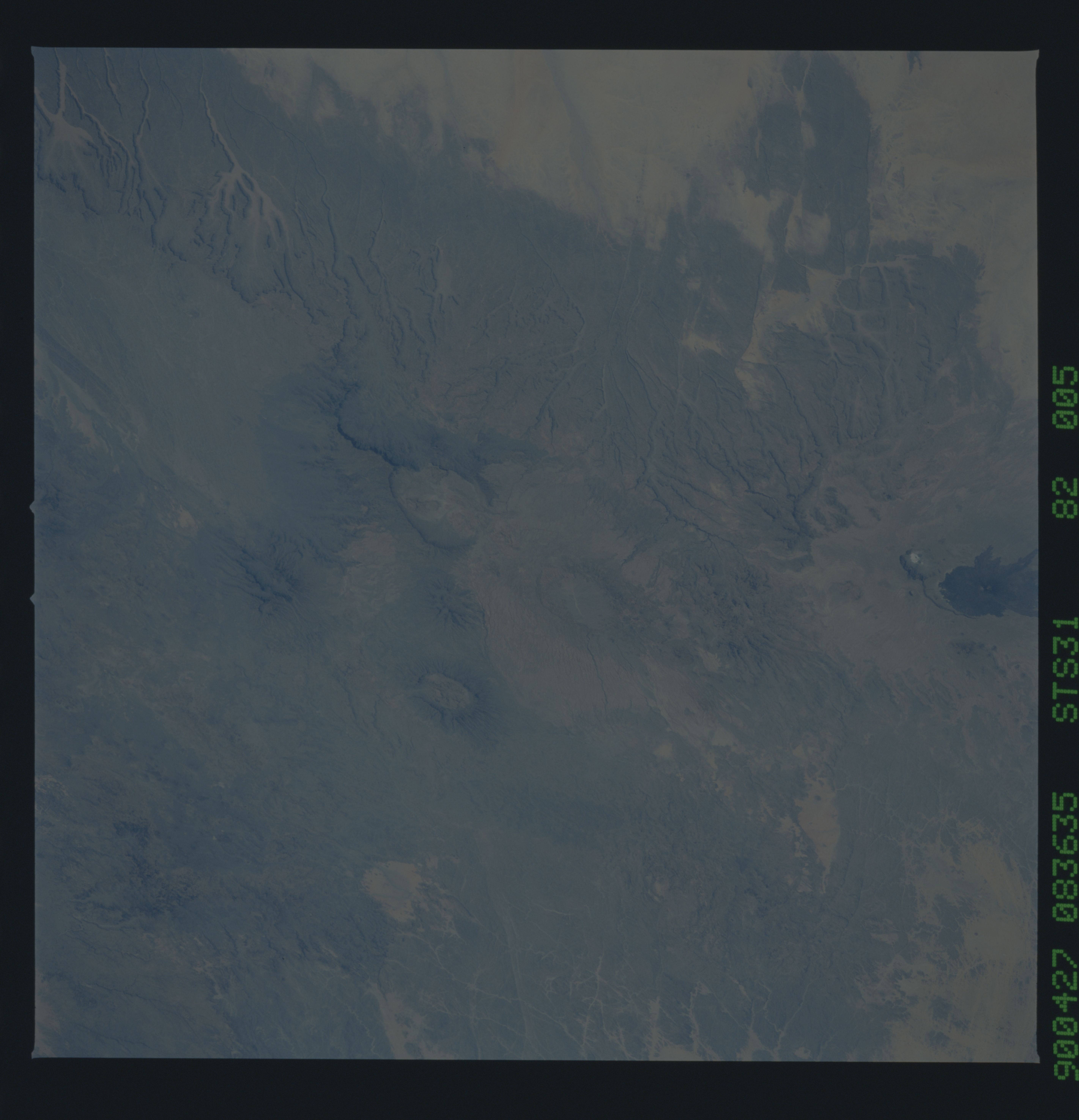
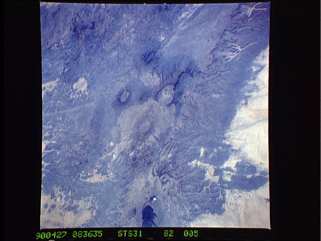
Cloud masks available for this image:
Spacecraft nadir point: 17.6° N, 13.0° E
Photo center point: 21.0° N, 17.5° E
Photo center point by machine learning:
Photo center point: 21.0° N, 17.5° E
Photo center point by machine learning:
Nadir to Photo Center: Northeast
Spacecraft Altitude: 333 nautical miles (617km)Body: Earth
Country or Geographic Name: | CHAD |
Features: | PIC TOUSIDE |
| Features Found Using Machine Learning: | |
Cloud Cover Percentage: | 0 (no clouds present) |
Sun Elevation Angle: | 53° |
Sun Azimuth: | 90° |
Camera: | Hasselblad |
Focal Length: | 250mm |
Camera Tilt: | 45 degrees |
Format: | 5017: Kodak, natural color positive, Ektachrome, X Professional, ASA 64, standard base |
Film Exposure: | Normal |
| Additional Information | |
| Width | Height | Annotated | Cropped | Purpose | Links |
|---|---|---|---|---|---|
| 5686 pixels | 5900 pixels | No | No | Download Image | |
| 500 pixels | 519 pixels | No | No | Download Image | |
| 640 pixels | 480 pixels | No | No | Download Image |
Download Packaged File
Download a Google Earth KML for this Image
View photo footprint information
No GeoTIFF is available for this photo.Image Caption:
Tibesti massif, Chad, S31-82-004 and S31-82-005. Taken with
Hasselblad and 250 mm lens, these two photographs are part of a
sequence of photographs typical of a swath-mapped area. The pho-
tographs have roughly 60% overlap. Each photograph covers an
area roughly 1.5o/side, or 90 n. mi/side. Together, this series
can be assembled into an uncontrolled mosaic which clearly show
the entire massif, as well as the grand wind streaks which sweep
around the east and west sides of the massif.
Tibesti massif, Chad, S31-82-004 and S31-82-005. Taken with
Hasselblad and 250 mm lens, these two photographs are part of a
sequence of photographs typical of a swath-mapped area. The pho-
tographs have roughly 60% overlap. Each photograph covers an
area roughly 1.5o/side, or 90 n. mi/side. Together, this series
can be assembled into an uncontrolled mosaic which clearly show
the entire massif, as well as the grand wind streaks which sweep
around the east and west sides of the massif.

