< STS034-72-49 >
| NASA Photo ID | STS034-72-49 |
| Focal Length | 250mm |
| Date taken | 1989.10.__ |
| Time taken | GMT |
Cloud masks available for this image:
Spacecraft nadir point:
Photo center point: 41.0° N, 113.0° W
Photo center point by machine learning:
Photo center point: 41.0° N, 113.0° W
Photo center point by machine learning:
Nadir to Photo Center:
Spacecraft Altitude: nautical miles (0km)Body: Earth
Country or Geographic Name: | USA-UTAH |
Features: | GREAT SALT LAKE & DESERT |
| Features Found Using Machine Learning: | |
Cloud Cover Percentage: | 5 (1-10)% |
Sun Elevation Angle: | ° |
Sun Azimuth: | ° |
Camera: | Hasselblad |
Focal Length: | 250mm |
Camera Tilt: | High Oblique |
Format: | 5017: Kodak, natural color positive, Ektachrome, X Professional, ASA 64, standard base |
Film Exposure: | Normal |
| Additional Information | |
| Width | Height | Annotated | Cropped | Purpose | Links |
|---|---|---|---|---|---|
| 5700 pixels | 5900 pixels | No | No | Download Image | |
| 500 pixels | 518 pixels | No | No | Download Image | |
| 640 pixels | 480 pixels | No | No | Download Image |
Download Packaged File
Download a Google Earth KML for this Image
View photo footprint information
No GeoTIFF is available for this photo.Image Caption:
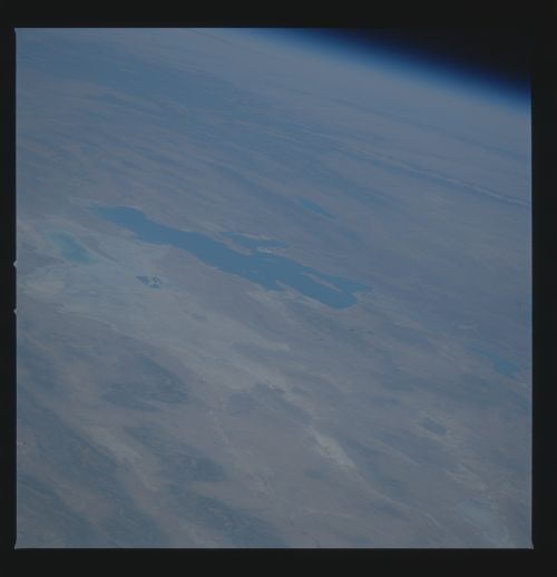
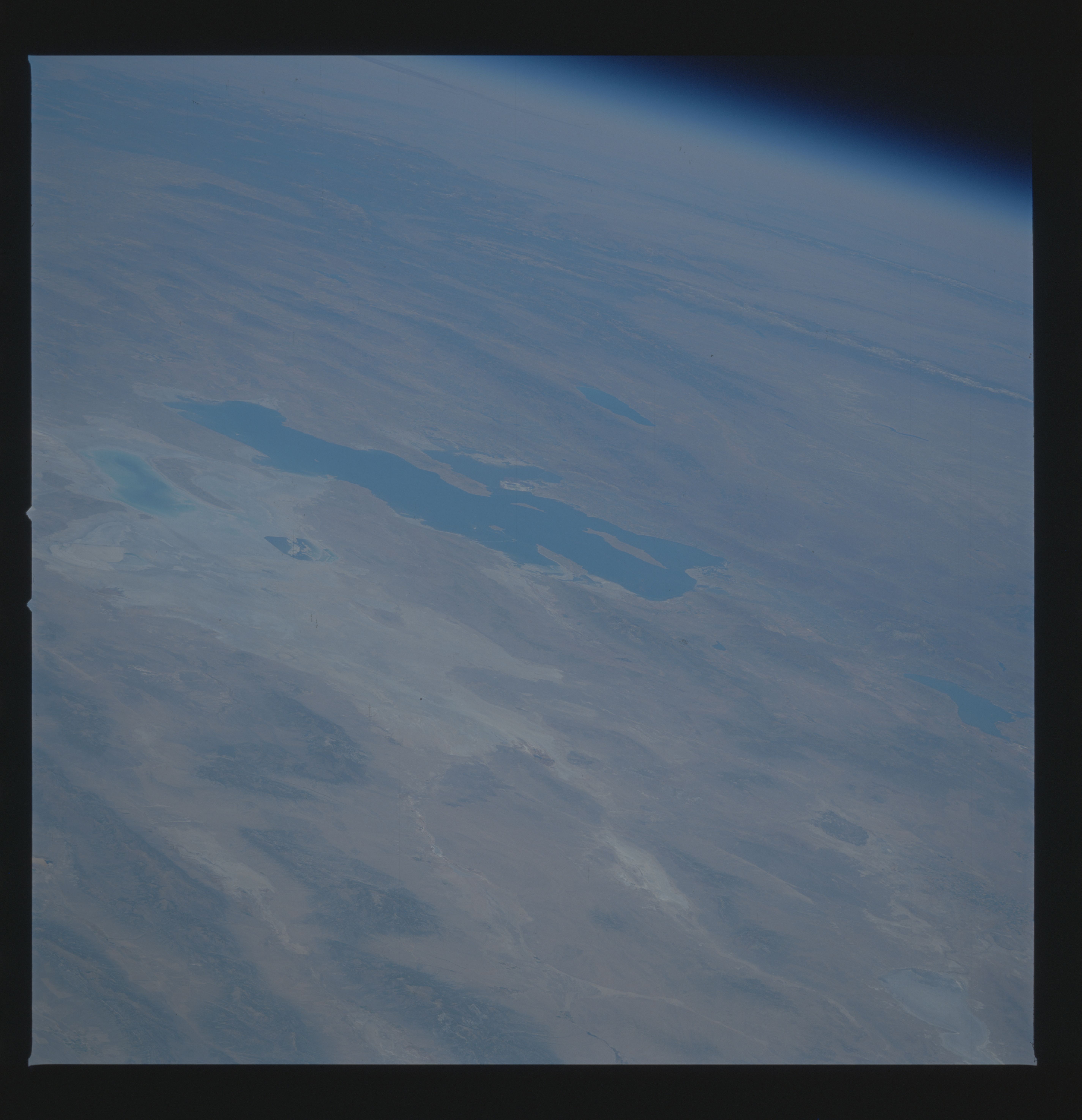
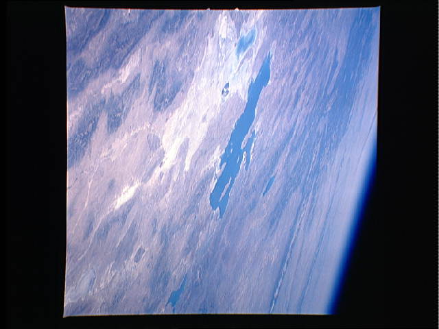
Great Salt Lake, October 1989
The Great Salt Lake and the Great Salt Lake Desert are shown in
this spectacular northeast-looking, oblique view from STS-34.
Great Salt Lake grew in size in the mid- 1980's due to heavy
winter snow packs. When the rising lake levels threatened
developed lands, water was diverted to form a new lake, visible
to the left (1). Compare this with the STS 51B photograph of
April 1985. Also visible in this view are Utah (2) and Bear (3)
Lakes; the Grand Tetons (4) and Wind River (5) Ranges, and Yel-
lowstone National Park (6). (S34-72-049)
Great Salt Lake, October 1989
The Great Salt Lake and the Great Salt Lake Desert are shown in
this spectacular northeast-looking, oblique view from STS-34.
Great Salt Lake grew in size in the mid- 1980's due to heavy
winter snow packs. When the rising lake levels threatened
developed lands, water was diverted to form a new lake, visible
to the left (1). Compare this with the STS 51B photograph of
April 1985. Also visible in this view are Utah (2) and Bear (3)
Lakes; the Grand Tetons (4) and Wind River (5) Ranges, and Yel-
lowstone National Park (6). (S34-72-049)

