< STS028-72-49 >
| NASA Photo ID | STS028-72-49 |
| Focal Length | 250mm |
| Date taken | 1989.08.08 |
| Time taken | 17:21:35 GMT |
Resolutions offered for this image:
5303 x 5303 pixels 640 x 640 pixels 5700 x 5900 pixels 500 x 518 pixels 640 x 480 pixels
5303 x 5303 pixels 640 x 640 pixels 5700 x 5900 pixels 500 x 518 pixels 640 x 480 pixels
Cloud masks available for this image:
Spacecraft nadir point: 50.9° N, 119.6° W
Photo center point: 51.0° N, 120.0° W
Photo center point by machine learning:
Photo center point: 51.0° N, 120.0° W
Photo center point by machine learning:
Nadir to Photo Center: West
Spacecraft Altitude: 161 nautical miles (298km)
Country or Geographic Name: | CANADA-BC |
Features: | ADAMS LAKE |
| Features Found Using Machine Learning: | |
Cloud Cover Percentage: | 5 (1-10)% |
Sun Elevation Angle: | 43° |
Sun Azimuth: | 122° |
Camera: | Hasselblad |
Focal Length: | 250mm |
Camera Tilt: | 9 degrees |
Format: | 5017: Kodak, natural color positive, Ektachrome, X Professional, ASA 64, standard base |
Film Exposure: | Normal |
| Additional Information | |
| Width | Height | Annotated | Cropped | Purpose | Links |
|---|---|---|---|---|---|
| 5303 pixels | 5303 pixels | No | No | Earth From Space collection | Download Image |
| 640 pixels | 640 pixels | No | No | Earth From Space collection | Download Image |
| 5700 pixels | 5900 pixels | No | No | Download Image | |
| 500 pixels | 518 pixels | No | No | Download Image | |
| 640 pixels | 480 pixels | No | No | Download Image |
Download Packaged File
Download a Google Earth KML for this Image
View photo footprint information
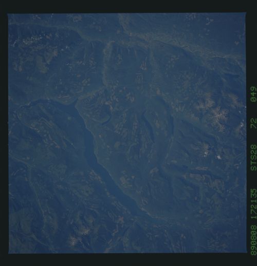
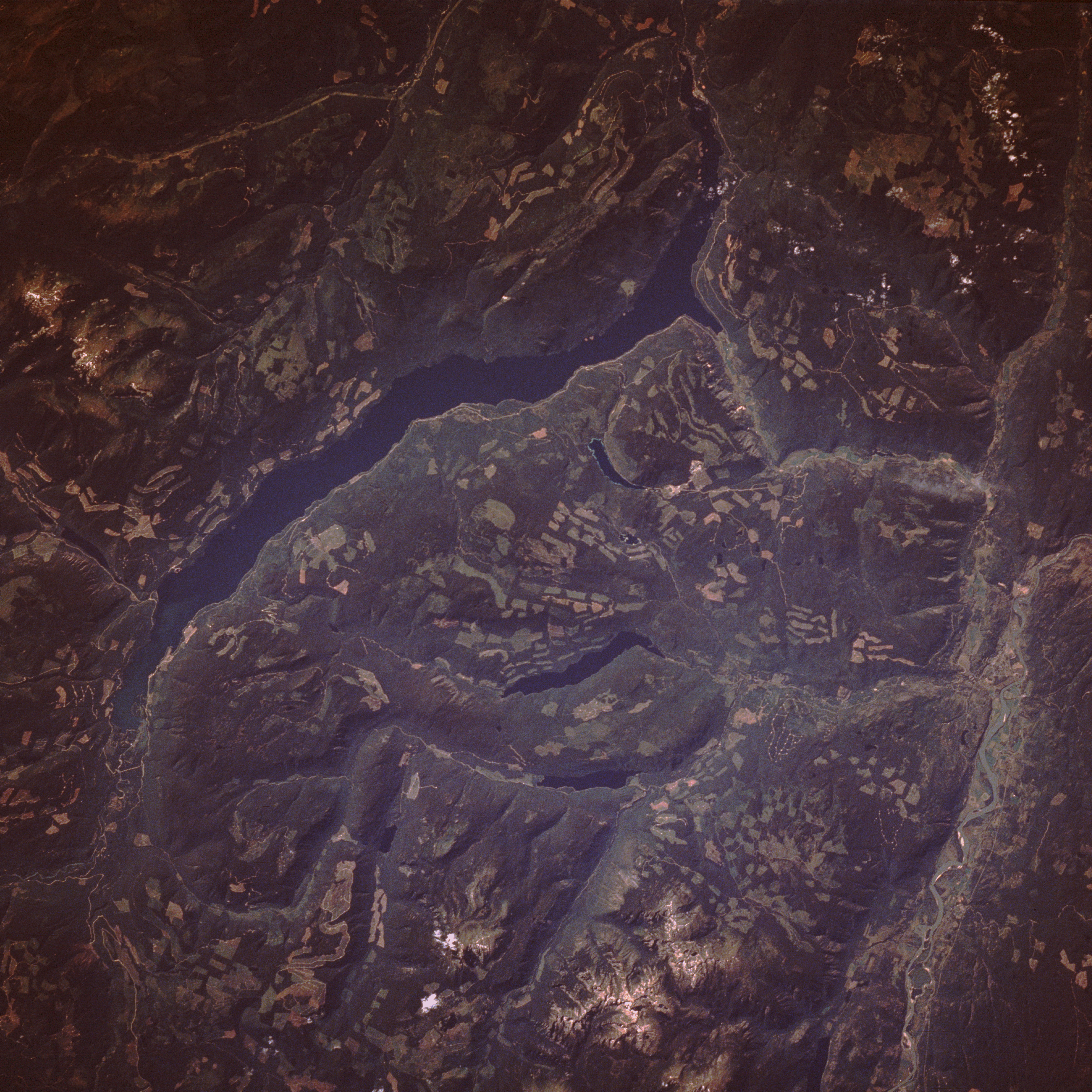
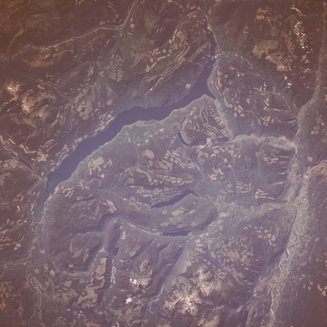
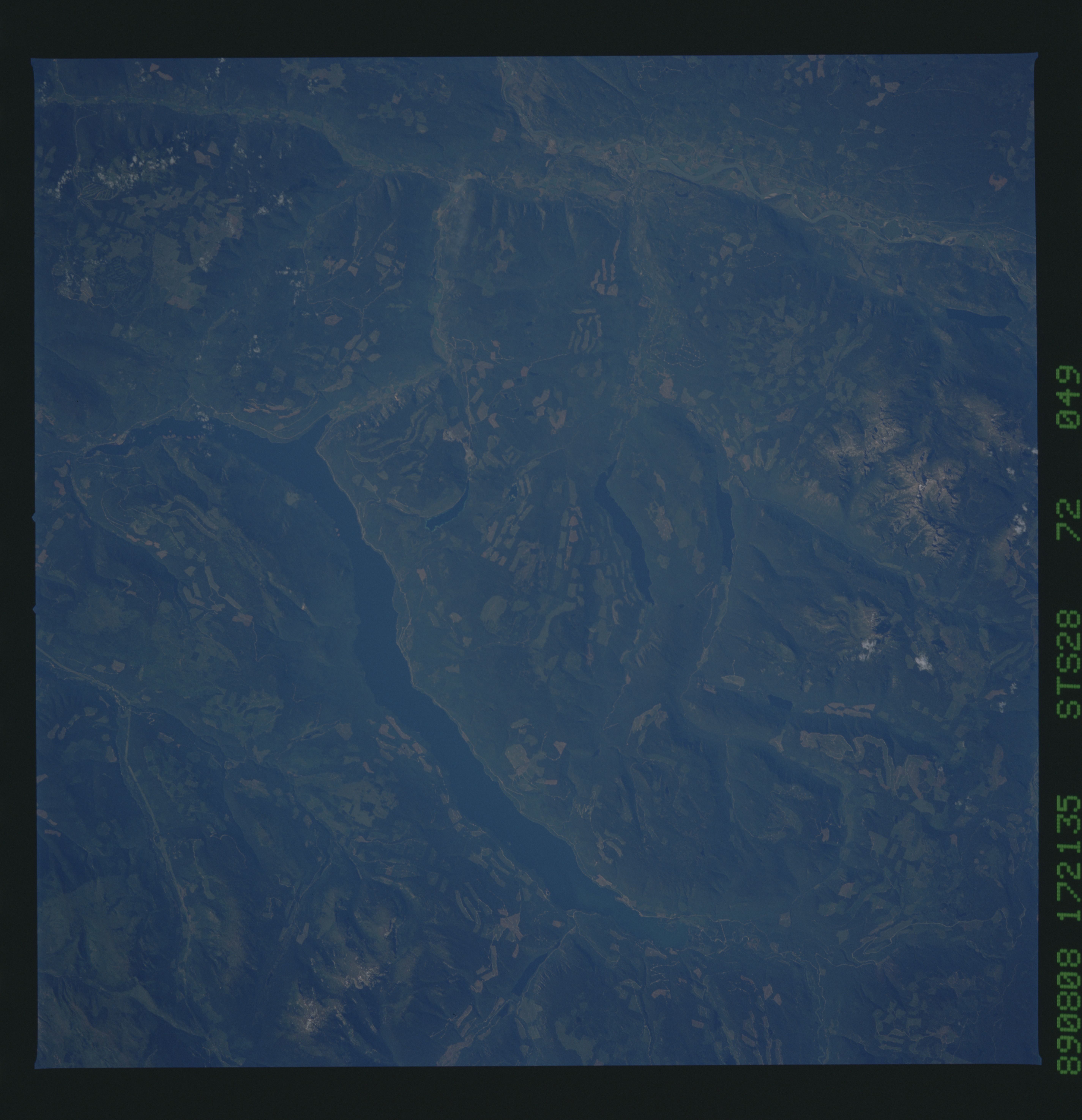
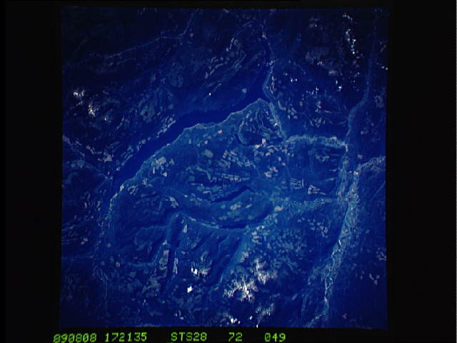
No GeoTIFF is available for this photo.Image Caption: STS028-072-049 Adams Lake, British Columbia, Canada August 1989
Adams Lake, the long, deep blue lake, is typical of the thousands of glacier-formed lakes in the Canadian Rocky Mountains. Substantial variation in relief exists throughout the region--snow-covered peaks more than 7000 feet (2135 meters) above sea level and the surface elevation of Adams Lake 1326 feet (404 meters) above sea level. Located about 35 miles (60 kilometers) northeast of Kamloops, British Columbia, Adams Lake drains southward, eventually reaching the Thompson River, a tributary of the more extensive Fraser River Basin. Logging has left clear-cut areas, which can be identified by regular, generally rectangular shapes. The more highly reflective clear-cut areas stand out in marked contrast to the dark green forested slopes of the low hills and mountains.
Adams Lake, the long, deep blue lake, is typical of the thousands of glacier-formed lakes in the Canadian Rocky Mountains. Substantial variation in relief exists throughout the region--snow-covered peaks more than 7000 feet (2135 meters) above sea level and the surface elevation of Adams Lake 1326 feet (404 meters) above sea level. Located about 35 miles (60 kilometers) northeast of Kamloops, British Columbia, Adams Lake drains southward, eventually reaching the Thompson River, a tributary of the more extensive Fraser River Basin. Logging has left clear-cut areas, which can be identified by regular, generally rectangular shapes. The more highly reflective clear-cut areas stand out in marked contrast to the dark green forested slopes of the low hills and mountains.
