| NASA Photo ID | ISS064-E-47189 |
| Focal Length | 50mm |
| Date taken | 2021.03.26 |
| Time taken | 02:32:02 GMT |
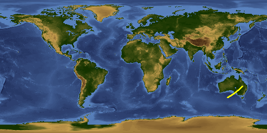
Spacecraft nadir point: 41.9° S, 126.9° E
Photo center point: 38.0° S, 134.5° E
Photo center point by machine learning:
Nadir to Photo Center: Northeast
Spacecraft Altitude: 230 nautical miles (426km)
Country or Geographic Name: | AUSTRALIA |
Features: | GREAT AUSTRALIAN BIGHT, EARTH LIMB |
| Features Found Using Machine Learning: | PAN- |
Cloud Cover Percentage: | 75 (51-75)% |
Sun Elevation Angle: | 44° |
Sun Azimuth: | 23° |
This photo is one of the photos used to create this time-lapse video:
2021-03-26 ISS064
719 Day
Photos
| Width |
Height |
Annotated |
Cropped |
Purpose |
Links |
| 5568 pixels |
3712 pixels |
No |
No |
|
Download Image |
| 640 pixels |
427 pixels |
No |
No |
|
Download Image |
| | | | Raw file from camera | Request |
Other options available:
Download Packaged File
Download a Google Earth KML for this Image
View photo footprint information
No GeoTIFF is available for this photo.
Image Caption: CATALOGED BY THE UNIVERSITY OF TEXAS AT EL PASO