< STS037-73-47 >
| NASA Photo ID | STS037-73-47 |
| Focal Length | 250mm |
| Date taken | 1991.04.07 |
| Time taken | 07:03:55 GMT |
Resolutions offered for this image:
5700 x 6000 pixels 500 x 526 pixels 640 x 480 pixels 512 x 512 pixels 512 x 512 pixels 512 x 512 pixels
5700 x 6000 pixels 500 x 526 pixels 640 x 480 pixels 512 x 512 pixels 512 x 512 pixels 512 x 512 pixels

Cloud masks available for this image:
Spacecraft nadir point: 24.4° N, 49.6° E
Photo center point: 29.1° N, 48.0° E
Photo center point by machine learning:
Photo center point: 29.1° N, 48.0° E
Photo center point by machine learning:
Nadir to Photo Center: North
Spacecraft Altitude: 246 nautical miles (456km)Body: Earth
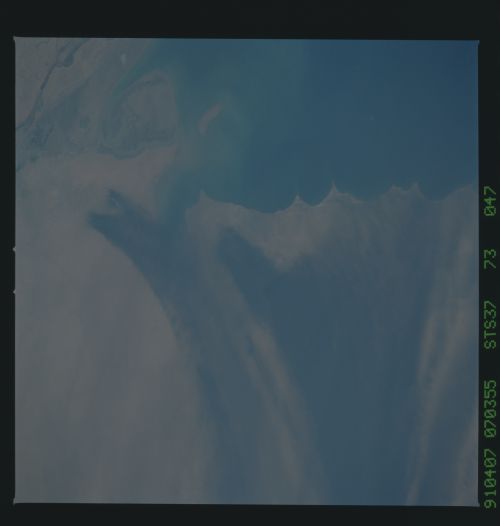
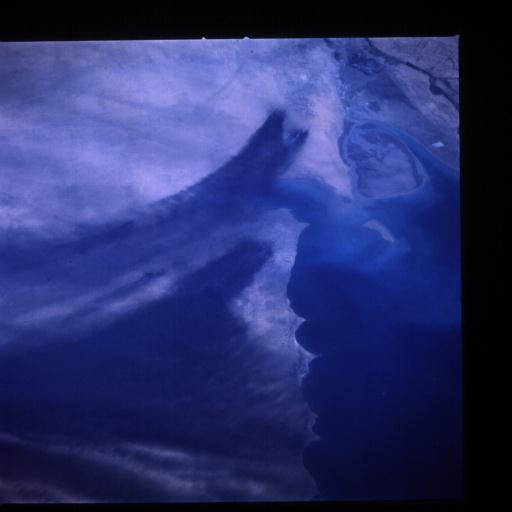
Country or Geographic Name: | KUWAIT |
Features: | OIL WELL FIRES |
| Features Found Using Machine Learning: | |
Cloud Cover Percentage: | 0 (no clouds present) |
Sun Elevation Angle: | 60° |
Sun Azimuth: | 122° |
Camera: | Hasselblad |
Focal Length: | 250mm |
Camera Tilt: | 50 degrees |
Format: | 5017: Kodak, natural color positive, Ektachrome, X Professional, ASA 64, standard base |
Film Exposure: | Normal |
| Additional Information | |
| Width | Height | Annotated | Cropped | Purpose | Links |
|---|---|---|---|---|---|
| 5700 pixels | 6000 pixels | No | No | Download Image | |
| 500 pixels | 526 pixels | No | No | Download Image | |
| 640 pixels | 480 pixels | No | No | Download Image | |
| 512 pixels | 512 pixels | No | No | Download Image | |
| 512 pixels | 512 pixels | No | No | Download Image | |
| 512 pixels | 512 pixels | No | No | Download Image |
Download Packaged File
Download a Google Earth KML for this Image
View photo footprint information
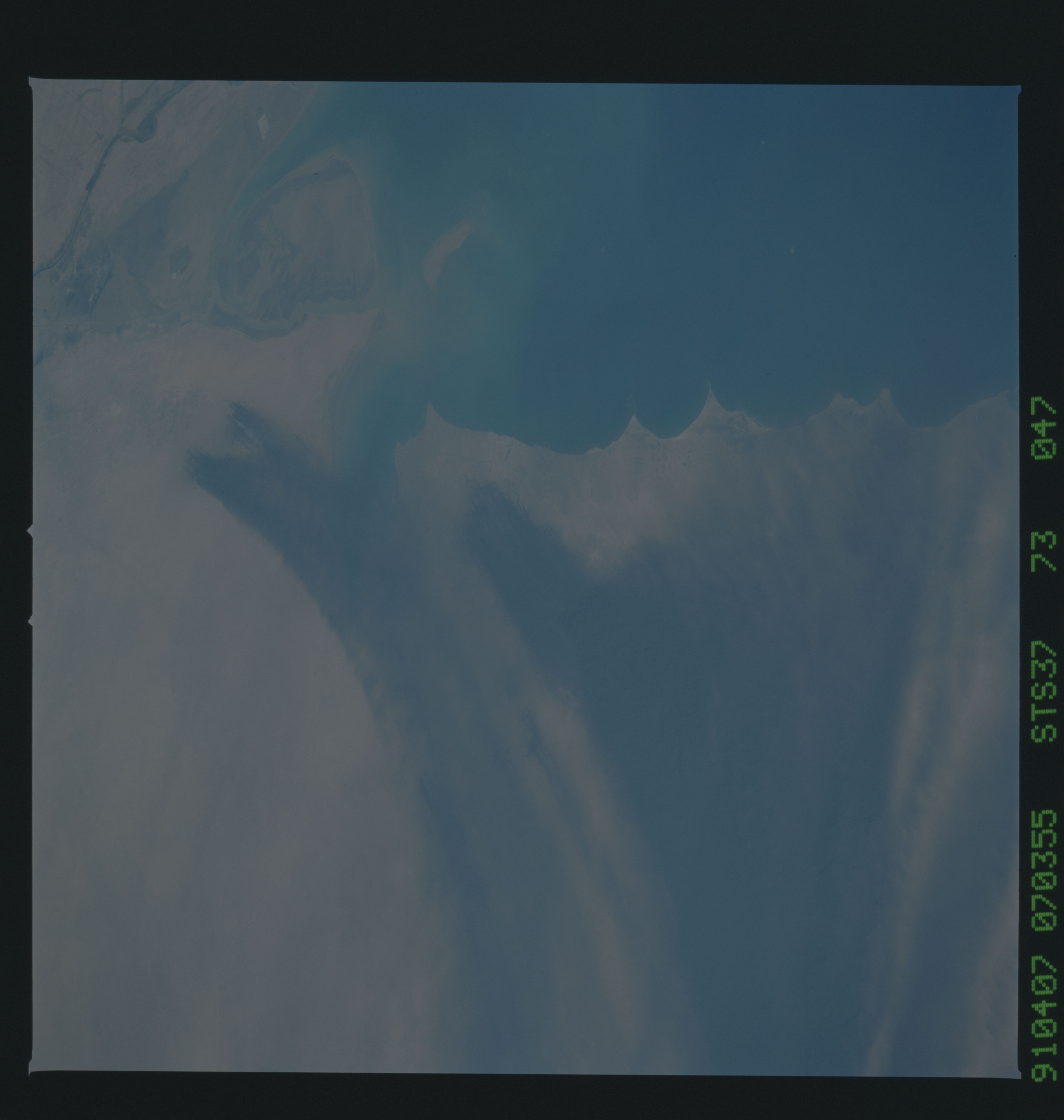
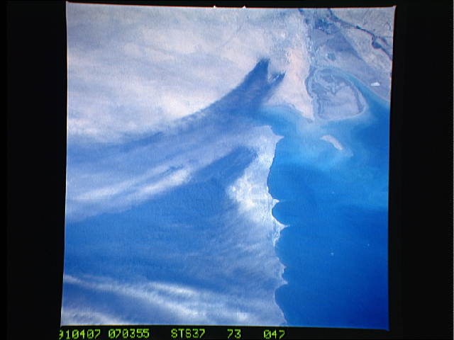
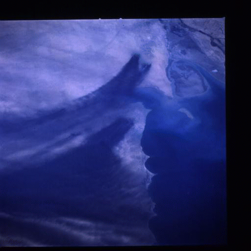
No GeoTIFF is available for this photo.Image Caption: Smoke from the burning oil fields to the north and south of Kuwait City, seen on the south shore of Kuwayt Bay almost totally obscures the view of the tiny, but oil rich, nation of Kuwait (29.0N, 48.0E). During the brief war between Iraq and the Allied forces, many of the oil wells in Kuwait were destroyed and set afire. For several months, those fires burned out of control, spewing wind borne smoke and ash for hundreds of miles.

