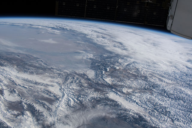
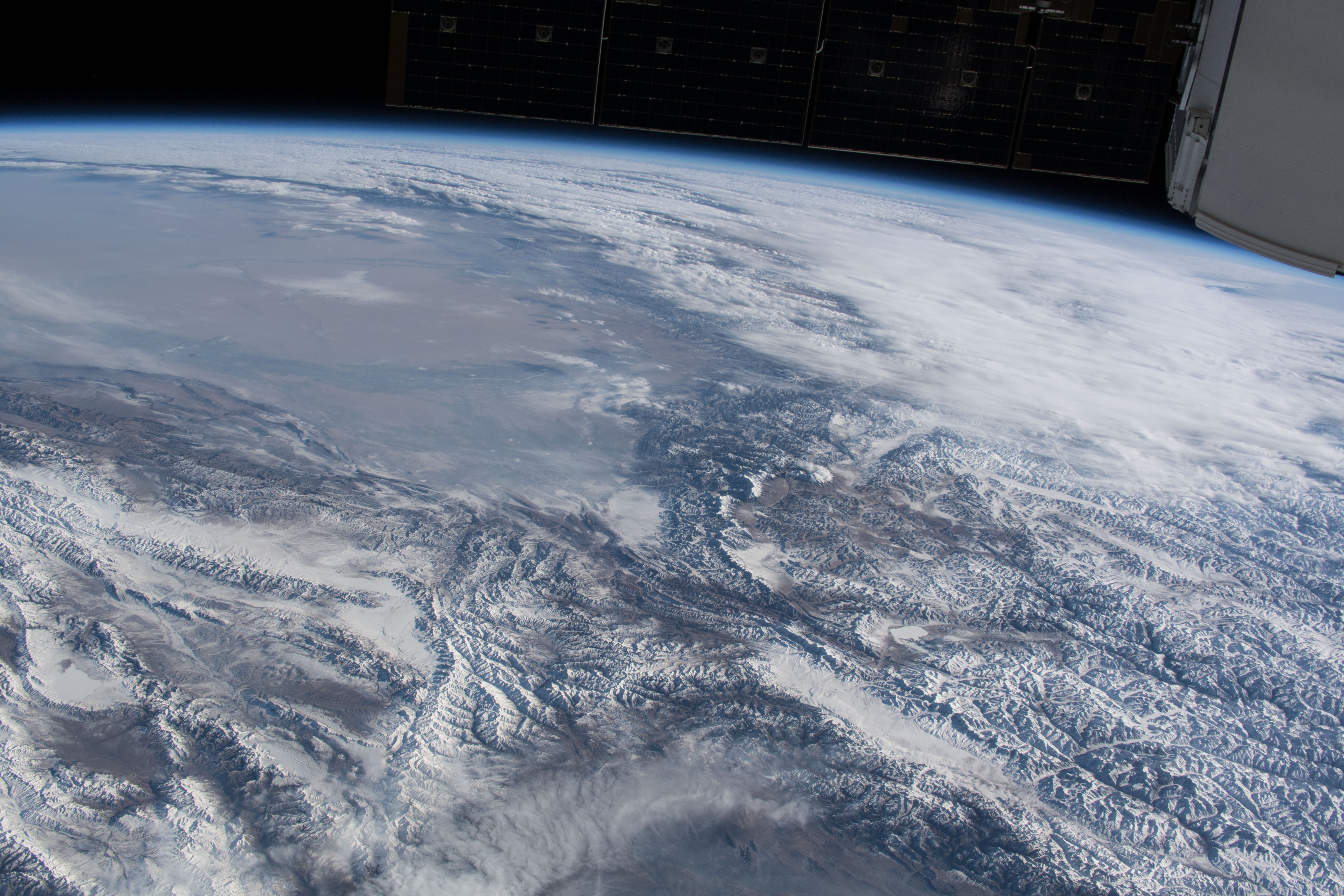
< ISS054-E-4561 >
| NASA Photo ID | ISS054-E-4561 |
| Focal Length | 50mm |
| Date taken | 2017.12.24 |
| Time taken | 09:18:21 GMT |
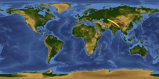
Spacecraft nadir point: 44.3° N, 67.2° E
Photo center point:
Photo center point by machine learning: 38.68° N, 74.65° E
Photo center point:
Photo center point by machine learning: 38.68° N, 74.65° E
Nadir to Photo Center:
Spacecraft Altitude: 216 nautical miles (400km)

Country or Geographic Name: | |
Features: | |
| Features Found Using Machine Learning: | PAN- |
Cloud Cover Percentage: | 24 (11-25)% |
Sun Elevation Angle: | 18° |
Sun Azimuth: | 206° |
Camera: | NIKON D5 S/N: 3502364 |
Focal Length: | 50mm |
Camera Tilt: | |
Format: | |
Film Exposure: | |
| Additional Information | |
This photo is one of the photos used to create this time-lapse video:
| Width | Height | Annotated | Cropped | Purpose | Links |
|---|---|---|---|---|---|
| 5568 pixels | 3712 pixels | No | No | Download Image | |
| 640 pixels | 427 pixels | No | No | Download Image |
Download Packaged File
Download a Google Earth KML for this Image
View photo footprint information
Download a GeoTIFF for this photo
Image Caption: none
