< STS085-740-45 >
| NASA Photo ID | STS085-740-45 |
| Focal Length | 100mm |
| Date taken | 1997.08.17 |
| Time taken | 18:59:25 GMT |
Cloud masks available for this image:
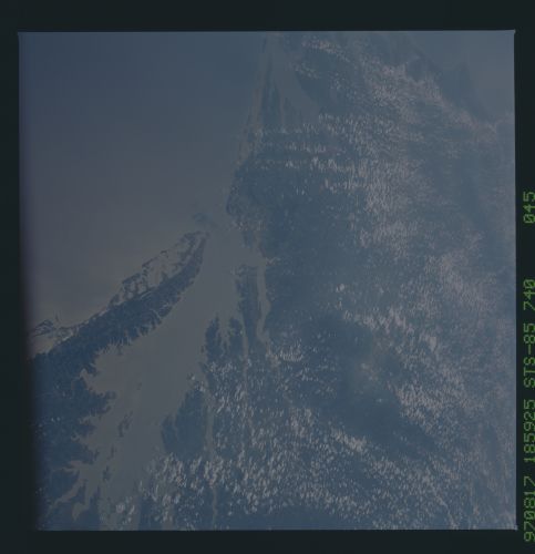
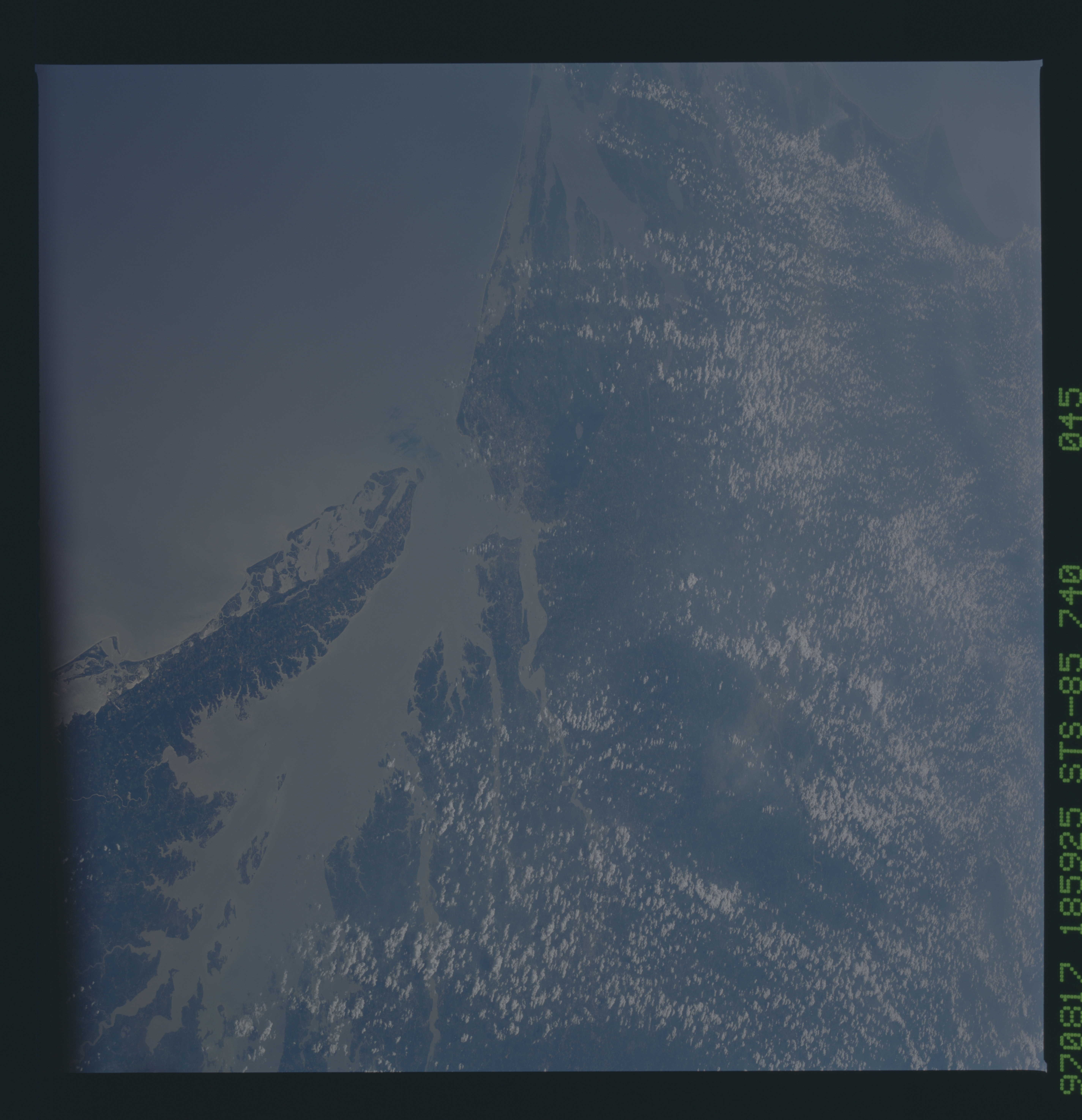
Spacecraft nadir point: 38.6° N, 72.8° W
Photo center point: 37.0° N, 76.5° W
Photo center point by machine learning:
Photo center point: 37.0° N, 76.5° W
Photo center point by machine learning:
Nadir to Photo Center: West
Spacecraft Altitude: 138 nautical miles (256km)
Country or Geographic Name: | USA-VIRGINIA |
Features: | CHESAPEAKE BAY, SUNGLINT |
| Features Found Using Machine Learning: | |
Cloud Cover Percentage: | 30 (26-50)% |
Sun Elevation Angle: | 53° |
Sun Azimuth: | 236° |
Camera: | Hasselblad |
Focal Length: | 100mm |
Camera Tilt: | Low Oblique |
Format: | 5069: Kodak Elite 100S, E6 Reversal, Replaces Lumiere, Warmer in tone vs. Lumiere |
Film Exposure: | Normal |
| Additional Information | |
| Width | Height | Annotated | Cropped | Purpose | Links |
|---|---|---|---|---|---|
| 5700 pixels | 5900 pixels | No | No | Download Image | |
| 483 pixels | 500 pixels | No | No | Download Image |
Download Packaged File
Download a Google Earth KML for this Image
View photo footprint information
No GeoTIFF is available for this photo.Image Caption: Chesapeake Bay, although dated at 35 million years, is a newly confirmed impact crater. Whylie Poage of the United States Geological Survey discovered this crater while trying to find the origin of tektites over much of the southern and eastern United States and part of the Caribbean. Because of drainage and high saltwater concentration, Poage began drilling in Chesapeake Bay. Shocked quartz, confirming the impact origin, was found in the structure in 1995. The 85 km-diameter crater is centered on the southern part of Chesapeake Bay. It has been estimated that a 1.6 km diameter object created this crater.
