< STS054-95-42 >
| NASA Photo ID | STS054-95-42 |
| Focal Length | 100mm |
| Date taken | 1993.01.14 |
| Time taken | 20:37:46 GMT |
Resolutions offered for this image:
5700 x 6000 pixels 500 x 526 pixels 640 x 480 pixels 1433 x 1591 pixels
5700 x 6000 pixels 500 x 526 pixels 640 x 480 pixels 1433 x 1591 pixels

Cloud masks available for this image:
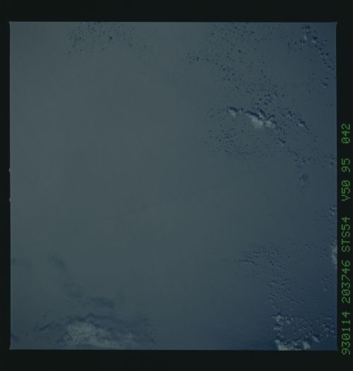
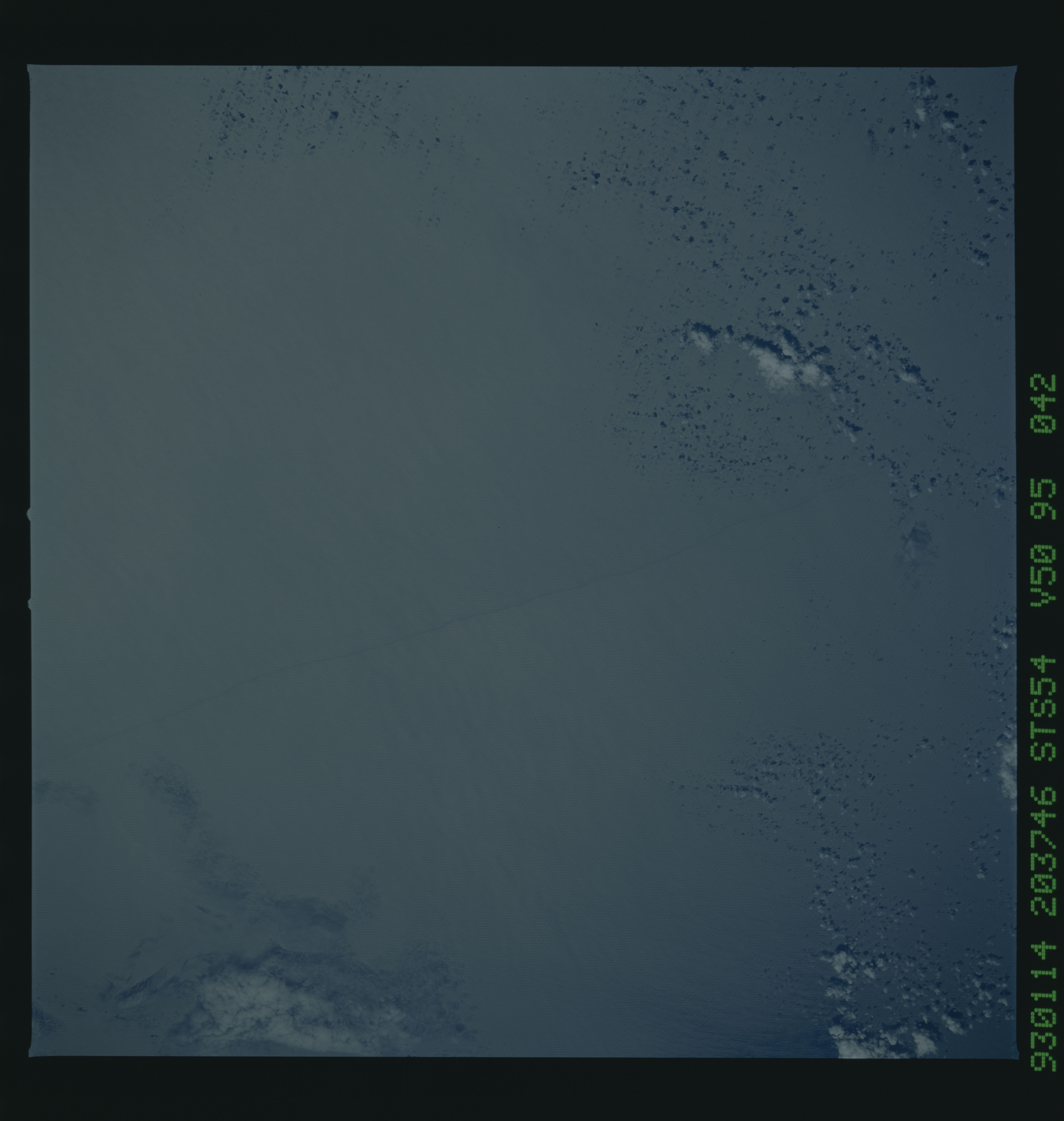
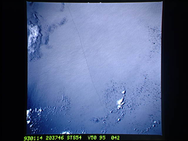
Spacecraft nadir point: 2.2° N, 102.6° W
Photo center point:
Photo center point by machine learning:
Photo center point:
Photo center point by machine learning:
Nadir to Photo Center:
Spacecraft Altitude: 163 nautical miles (302km)
Country or Geographic Name: | PACIFIC OCEAN |
Features: | WAVE LINE |
| Features Found Using Machine Learning: | |
Cloud Cover Percentage: | 5 (1-10)% |
Sun Elevation Angle: | 56° |
Sun Azimuth: | 224° |
Camera: | Hasselblad |
Focal Length: | 100mm |
Camera Tilt: | Low Oblique |
Format: | VELVI: Fuji, natural color positive, Velvia 50, CS 135-36, ASA 32, standard base |
Film Exposure: | Under Exposed |
| Additional Information | |
| Width | Height | Annotated | Cropped | Purpose | Links |
|---|---|---|---|---|---|
| 5700 pixels | 6000 pixels | No | No | Download Image Download Color Calibration Image for this Image |
|
| 500 pixels | 526 pixels | No | No | Download Image Download Color Calibration Image for this Image |
|
| 640 pixels | 480 pixels | No | No | Download Image | |
| 1433 pixels | 1591 pixels | No | No | Download Image |
Download Packaged File
Download a Google Earth KML for this Image
View photo footprint information
No GeoTIFF is available for this photo.Image Caption: This Equatorial Wave Line (2.0 N, 102.5W) seen in the Pacific Ocean is of great interest to oceanographers because of the twice annual upwelling of the oceans nutrients. As a result of nearly constant easterly winds, cool nutrient rich water wells up at the equator. The long narrow line is an equatorial front or boundry between warm surface equatorial water and cool recently upwelled water as the intermix of nutrients takes place.
