< STS080-741-40 >
| NASA Photo ID | STS080-741-40 |
| Focal Length | 250mm |
| Date taken | 1996.12.03 |
| Time taken | 10:21:45 GMT |
Cloud masks available for this image:
Spacecraft nadir point: 1.6° N, 38.8° E
Photo center point: 5.0° N, 36.5° E
Photo center point by machine learning:
Photo center point: 5.0° N, 36.5° E
Photo center point by machine learning:
Nadir to Photo Center: Northwest
Spacecraft Altitude: 190 nautical miles (352km)
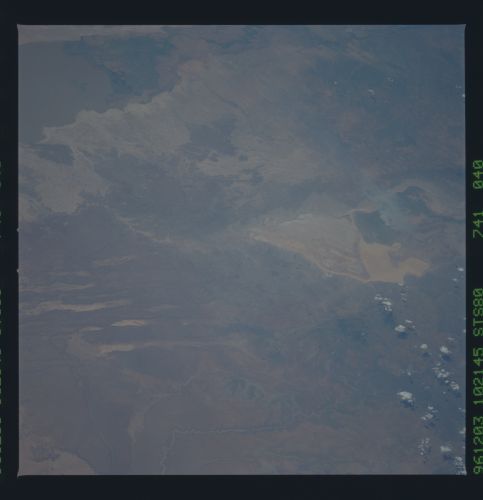
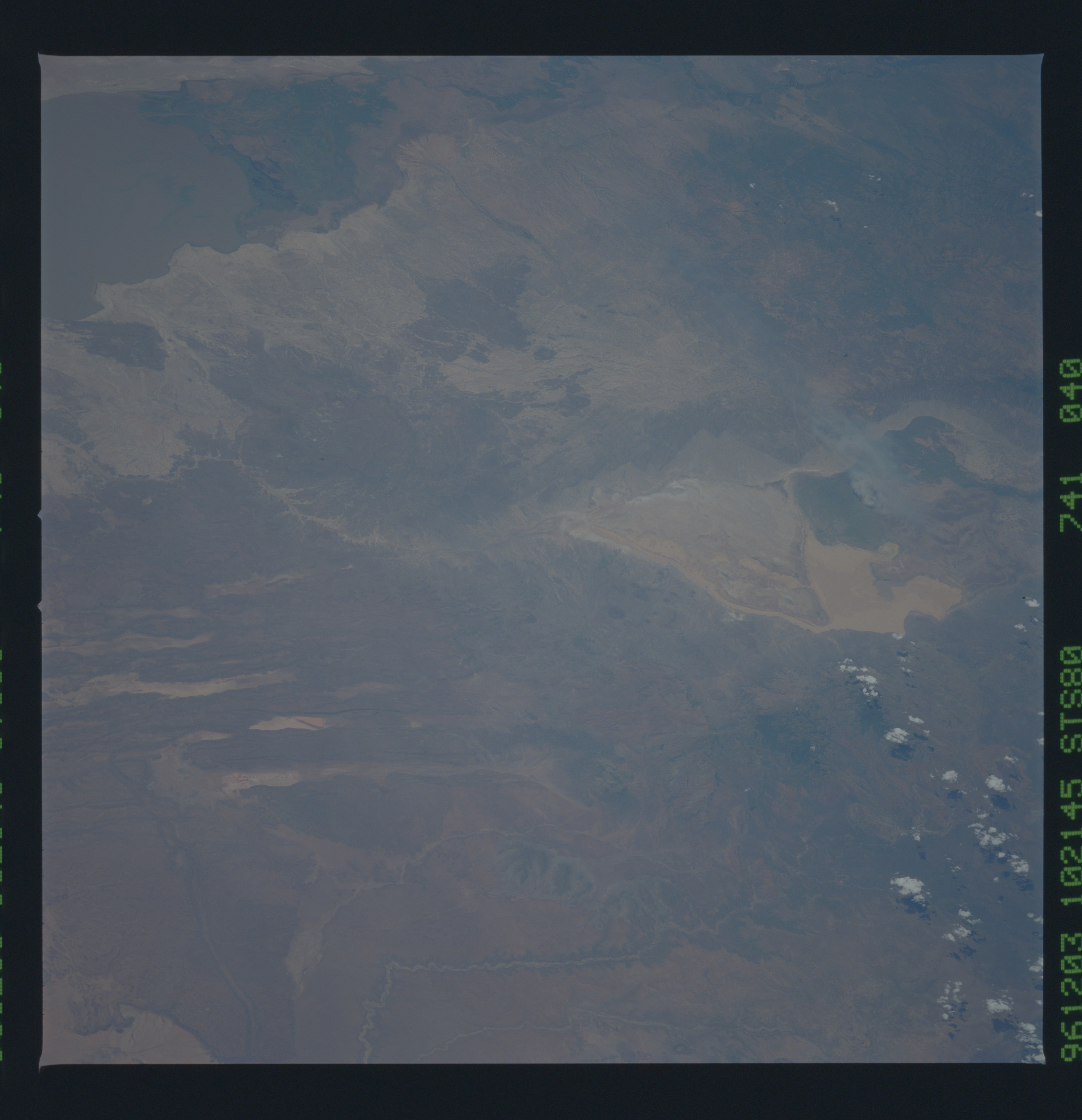
Country or Geographic Name: | KENYA |
Features: | LAKE TURKANA, SMOKE |
| Features Found Using Machine Learning: | |
Cloud Cover Percentage: | 0 (no clouds present) |
Sun Elevation Angle: | 61° |
Sun Azimuth: | 214° |
Camera: | Hasselblad |
Focal Length: | 250mm |
Camera Tilt: | 52 degrees |
Format: | 5046: Kodak, natural color positive, Lumiere 100/5046, ASA 100, standard base |
Film Exposure: | Normal |
| Additional Information | |
| Width | Height | Annotated | Cropped | Purpose | Links |
|---|---|---|---|---|---|
| 5700 pixels | 5900 pixels | No | No | Download Image Download Color Calibration Image for this Image |
|
| 483 pixels | 500 pixels | No | No | Download Image Download Color Calibration Image for this Image |
Download Packaged File
Download a Google Earth KML for this Image
View photo footprint information
No GeoTIFF is available for this photo.Image Caption: Chew Bahir lake and northern Lake Turkana (Kenya). This is an exceptionally clear nadir view of the junction of the southern Ethiopian rift and northern Turkana rift. About 400,000 cubic km of lavas have been erupted in the Ethiopian rift over the past 43 million years. Young, very black lava flows can be seen where the north-trending faults of the Turkana rift intersect the northeast-trending faults of the Ethiopian complex; abrupt doglegs in faults and drainages can also be seen. A rift intersection is commonly topographically low and may be marshy or contain a pond or lake such as Chew Bahir; the Afar depression (above) is a far larger example.
