< NM23-756-397 >
| NASA Photo ID | NM23-756-397 |
| Focal Length | 100mm |
| Date taken | 1997.04.30 |
| Time taken | 16:46:08 GMT |
Resolutions offered for this image:
4036 x 4036 pixels 639 x 639 pixels 5700 x 6000 pixels 500 x 526 pixels 503 x 502 pixels 480 x 480 pixels
4036 x 4036 pixels 639 x 639 pixels 5700 x 6000 pixels 500 x 526 pixels 503 x 502 pixels 480 x 480 pixels


Cloud masks available for this image:
Spacecraft nadir point: 37.4° N, 108.8° W
Photo center point: 34.5° N, 109.5° W
Photo center point by machine learning:
Photo center point: 34.5° N, 109.5° W
Photo center point by machine learning:
Nadir to Photo Center: South
Spacecraft Altitude: 208 nautical miles (385km)
Country or Geographic Name: | USA-ARIZONA |
Features: | BALDY PEAK |
| Features Found Using Machine Learning: | |
Cloud Cover Percentage: | 5 (1-10)% |
Sun Elevation Angle: | 51° |
Sun Azimuth: | 115° |
Camera: | Hasselblad |
Focal Length: | 100mm |
Camera Tilt: | 41 degrees |
Format: | 5046: Kodak, natural color positive, Lumiere 100/5046, ASA 100, standard base |
Film Exposure: | Normal |
| Additional Information | |
| Width | Height | Annotated | Cropped | Purpose | Links |
|---|---|---|---|---|---|
| 4036 pixels | 4036 pixels | No | No | Earth From Space collection | Download Image |
| 639 pixels | 639 pixels | No | No | Earth From Space collection | Download Image |
| 5700 pixels | 6000 pixels | No | No | Download Image | |
| 500 pixels | 526 pixels | No | No | Download Image | |
| 503 pixels | 502 pixels | No | No | Download Image | |
| 480 pixels | 480 pixels | Download Image |
Download Packaged File
Download a Google Earth KML for this Image
View photo footprint information
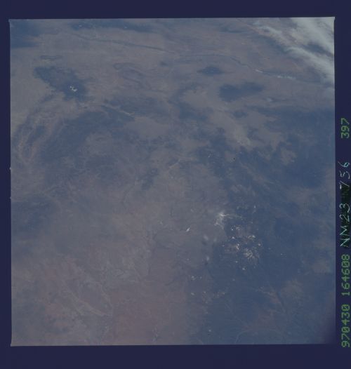
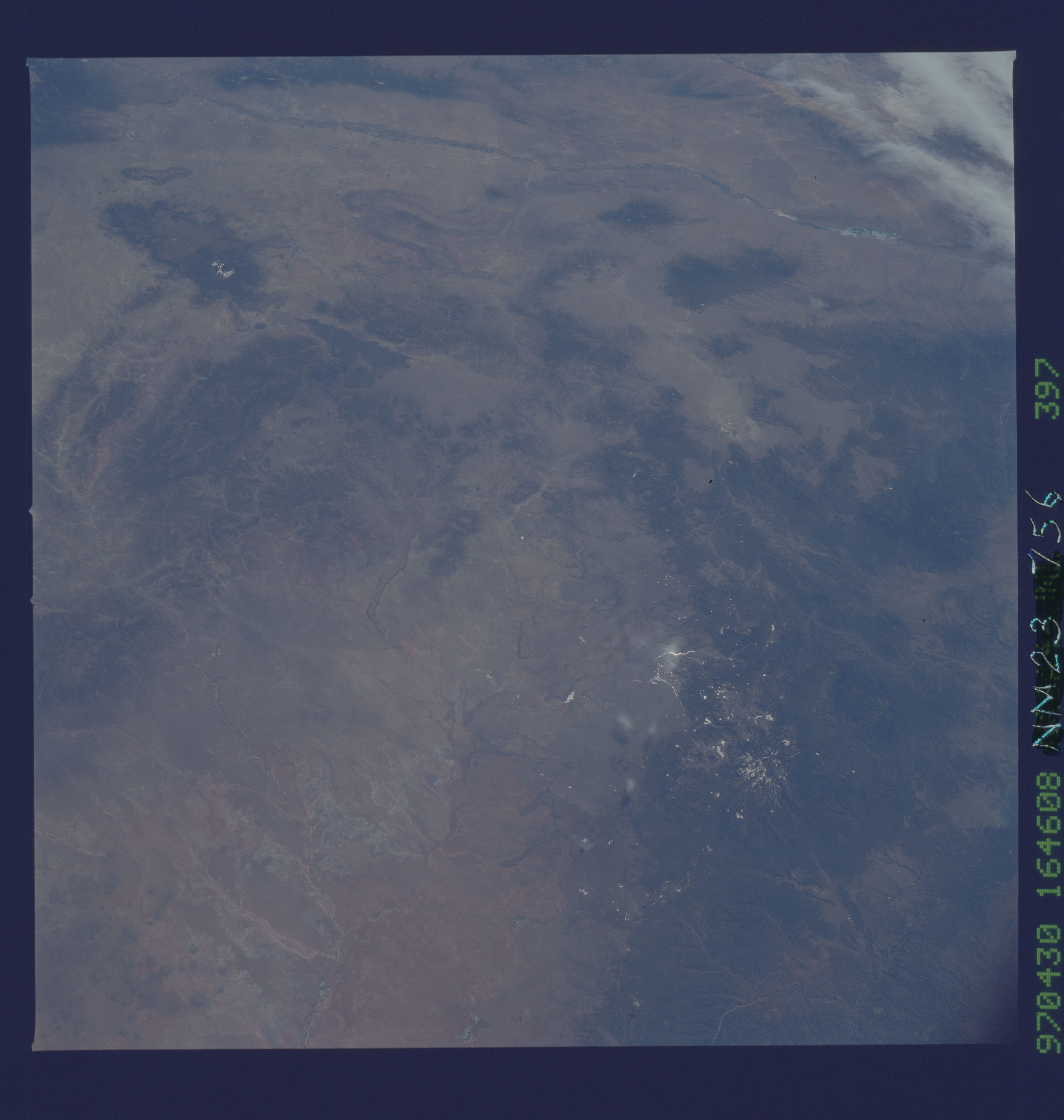
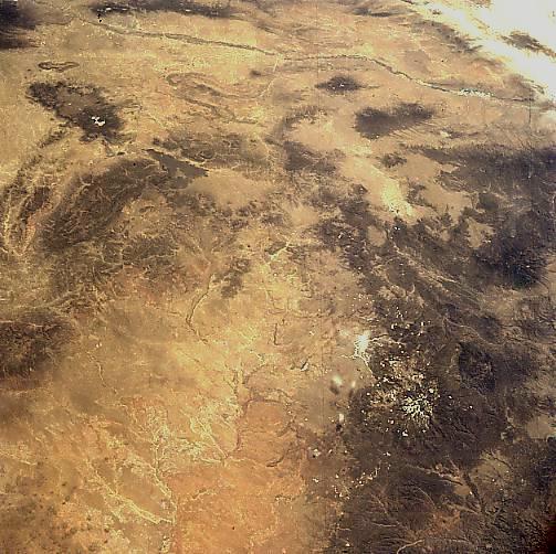
No GeoTIFF is available for this photo.Image Caption: NM23-756-397 Little Colorado River Basin, Arizona, USA Winter-Spring 1997
The lighter colored terrain, with numerous intermittent tributaries feeding into a central stream channel (foreground), is the Little Colorado River Basin. While most of the basin lies in Arizona, some of the tributaries originate in west central New Mexico (center of the image). The darker features that are scattered throughout the picture are mountains and plateaus. The Zuni Mountains can be identified along the northwest side of the basin and a sizable lava valley (dark, uniform area) is even visible southeast of the Zuni Mountains. A number of mountain ranges, including partially snow-capped Baldy Peak (11,403 feet--3476 meters) that is located within the Apache-Sitgreaves National Forest in east-central Arizona, can also be observed along the southern edge of the picture. Although a highway is not discernible on this small-scale image, Interstate Highway 40 skirts along the northern edge of the image. The north-south trending Rio Grande Valley (thin, darker, linear feature) is discernible along the entire top (east side) of the picture. Albuquerque (barely discernible) lies between the Rio Grande and the Sandia Mountains (partly under clouds, top right corner).
The lighter colored terrain, with numerous intermittent tributaries feeding into a central stream channel (foreground), is the Little Colorado River Basin. While most of the basin lies in Arizona, some of the tributaries originate in west central New Mexico (center of the image). The darker features that are scattered throughout the picture are mountains and plateaus. The Zuni Mountains can be identified along the northwest side of the basin and a sizable lava valley (dark, uniform area) is even visible southeast of the Zuni Mountains. A number of mountain ranges, including partially snow-capped Baldy Peak (11,403 feet--3476 meters) that is located within the Apache-Sitgreaves National Forest in east-central Arizona, can also be observed along the southern edge of the picture. Although a highway is not discernible on this small-scale image, Interstate Highway 40 skirts along the northern edge of the image. The north-south trending Rio Grande Valley (thin, darker, linear feature) is discernible along the entire top (east side) of the picture. Albuquerque (barely discernible) lies between the Rio Grande and the Sandia Mountains (partly under clouds, top right corner).
