< AS10-27-3956 >
| NASA Photo ID | AS10-27-3956 |
| Focal Length | mm |
| Date taken | |
| Time taken | GMT |
Cloud masks available for this image:
Spacecraft nadir point:
Photo center point:
Photo center point by machine learning:
Photo center point:
Photo center point by machine learning:
Nadir to Photo Center:
Spacecraft Altitude: nautical miles (0km)
Country or Geographic Name: | |
Features: | |
| Features Found Using Machine Learning: | |
Cloud Cover Percentage: | |
Sun Elevation Angle: | ° |
Sun Azimuth: | ° |
Camera: | |
Focal Length: | mm |
Camera Tilt: | |
Format: | |
Film Exposure: | |
| Additional Information | |
| Width | Height | Annotated | Cropped | Purpose | Links |
|---|---|---|---|---|---|
| 4400 pixels | 4600 pixels | No | No | Download Image | |
| 492 pixels | 515 pixels | No | No | Download Image |
Download Packaged File
Download a Google Earth KML for this Image
View photo footprint information
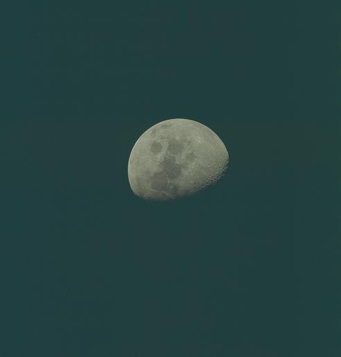
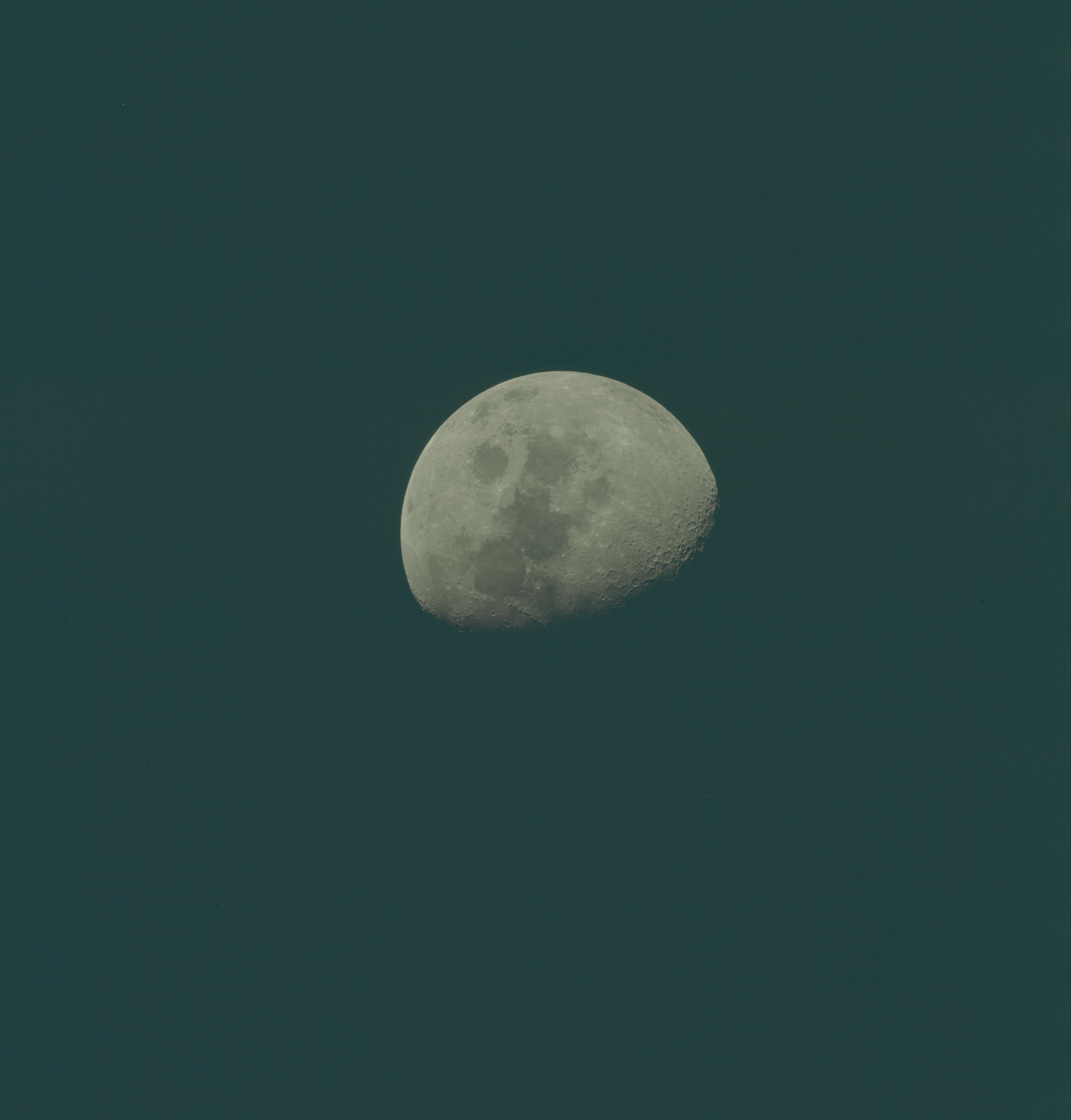
No GeoTIFF is available for this photo.Image Caption: This photograph of the moon was taken after transearth insertion when the Apollo 10 spacecraft was high above the lunar equator near 27 degrees east longitude. North is about 20 degrees left of the top of the photograph. Apollo Landing Site 3 is on the lighted side of the terminator in a dark area just north of the equator. Apollo Landing Site 2 is near the lower left margin of the Sea of Tranquility (Mare Tranquillitatis), which is the large, dark area near the center of the photograph.
