< STS110-726-36 >
| NASA Photo ID | STS110-726-36 |
| Focal Length | 110mm |
| Date taken | 2002.04.09 |
| Time taken | 23:23:57 GMT |
Cloud masks available for this image:
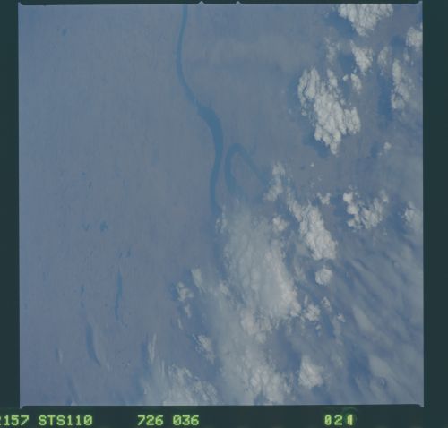
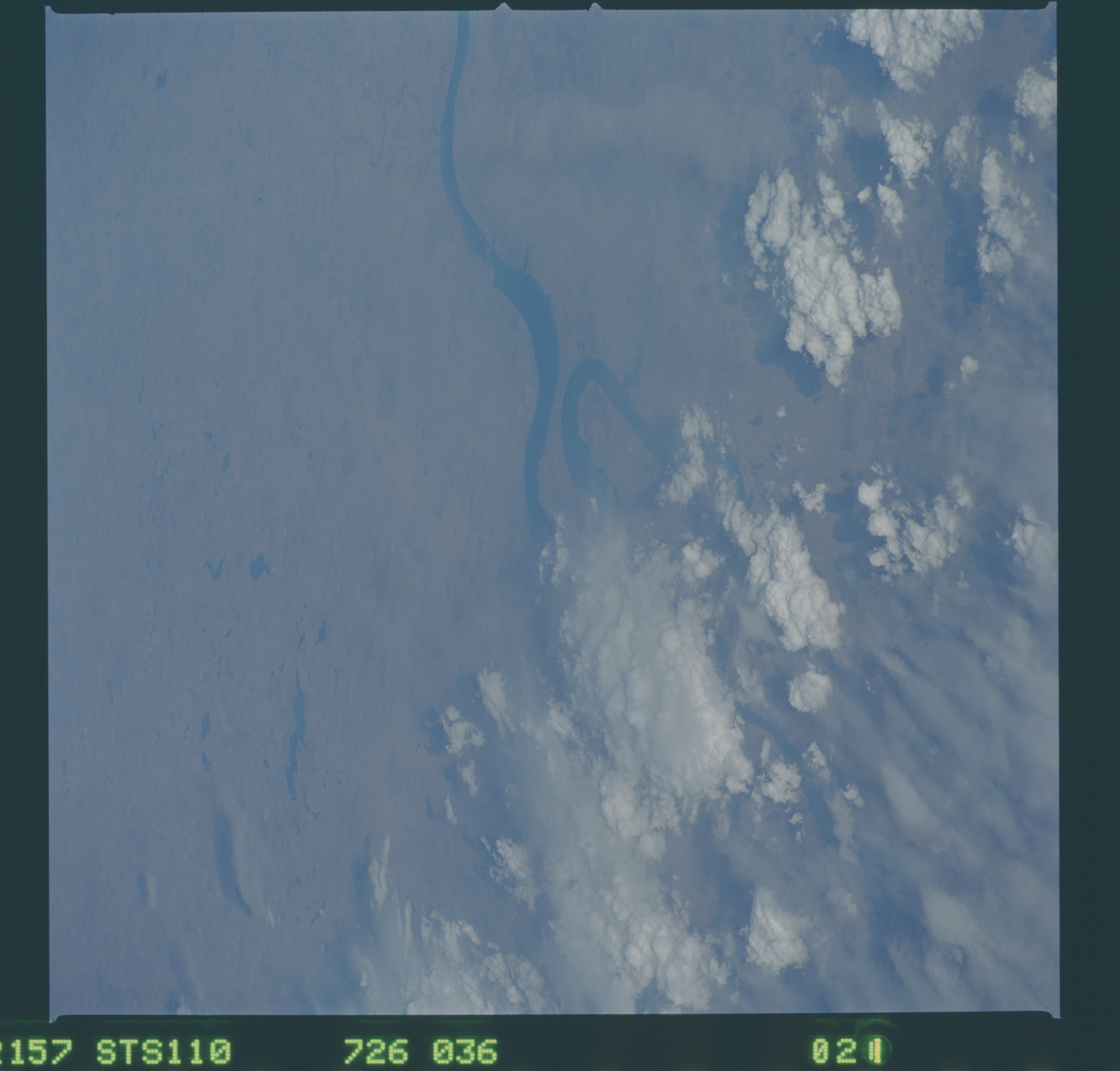
Spacecraft nadir point: 44.4° N, 102.6° W
Photo center point: 44.0° N, 99.5° W
Photo center point by machine learning:
Photo center point: 44.0° N, 99.5° W
Photo center point by machine learning:
Nadir to Photo Center: East
Spacecraft Altitude: 96 nautical miles (178km)
Country or Geographic Name: | USA-SOUTH DAKOTA |
Features: | MISSOURI RIVER, DARK |
| Features Found Using Machine Learning: | |
Cloud Cover Percentage: | 50 (26-50)% |
Sun Elevation Angle: | 21° |
Sun Azimuth: | 260° |
Camera: | Hasselblad |
Focal Length: | 110mm |
Camera Tilt: | High Oblique |
Format: | 5069: Kodak Elite 100S, E6 Reversal, Replaces Lumiere, Warmer in tone vs. Lumiere |
Film Exposure: | |
| Additional Information | |
| Width | Height | Annotated | Cropped | Purpose | Links |
|---|---|---|---|---|---|
| 4600 pixels | 4400 pixels | No | No | Download Image | |
| 500 pixels | 478 pixels | No | No | Download Image |
Download Packaged File
Download a Google Earth KML for this Image
View photo footprint information
No GeoTIFF is available for this photo.Image Caption: none
