< ISS042-E-340692 >
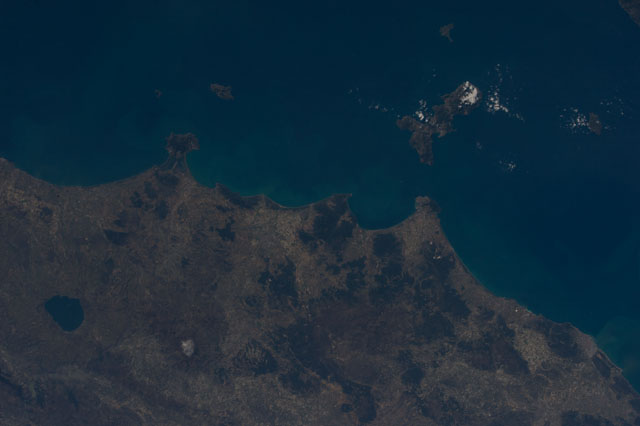
| NASA Photo ID | ISS042-E-340692 |
| Focal Length | 70mm |
| Date taken | 2015.03.10 |
| Time taken | 11:31:28 GMT |
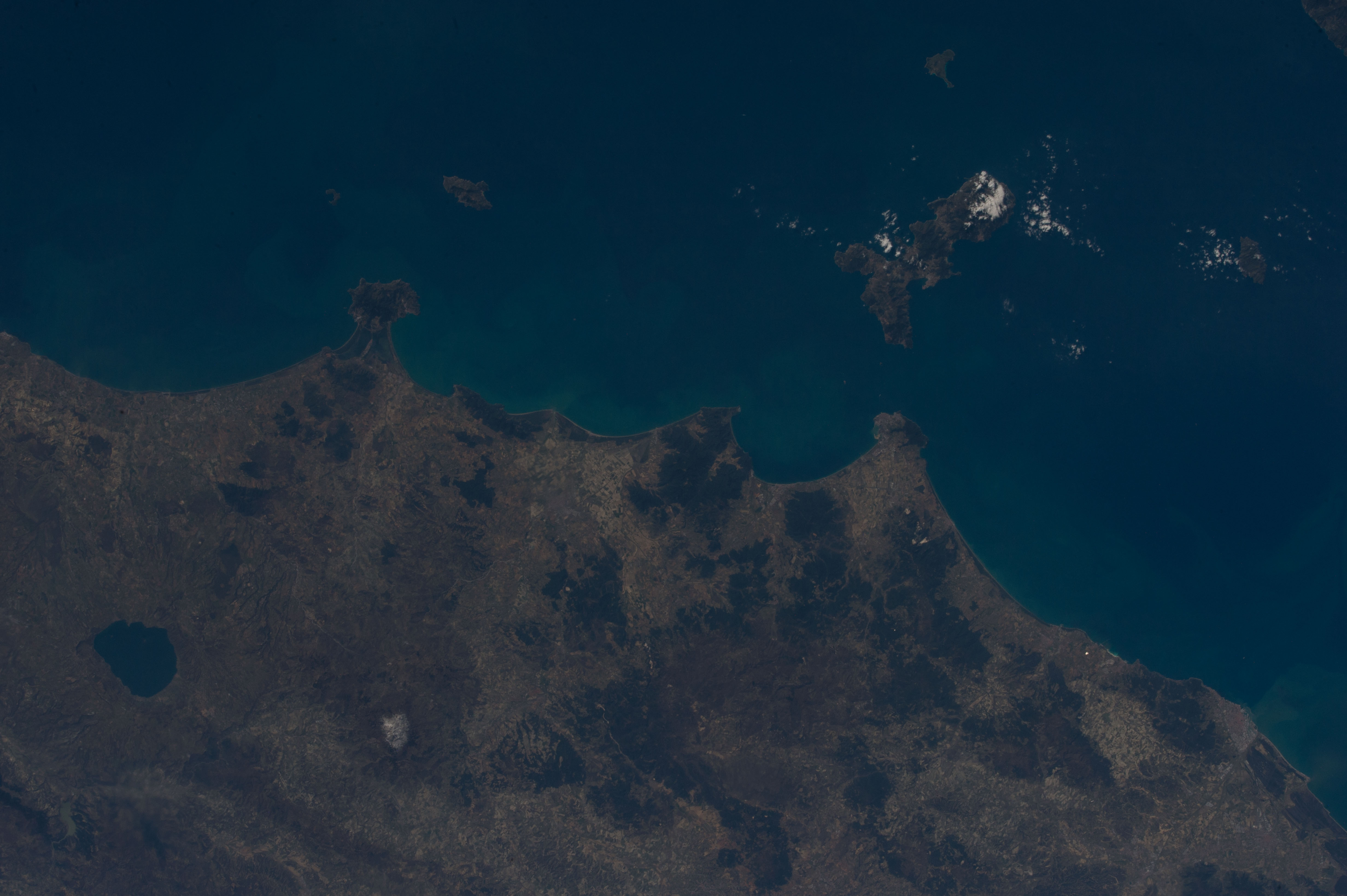
Cloud masks available for this image:
Spacecraft nadir point: 42.9° N, 9.3° E
Photo center point: 43.0° N, 11.0° E
Photo center point by machine learning:
Photo center point: 43.0° N, 11.0° E
Photo center point by machine learning:
Nadir to Photo Center: East
Spacecraft Altitude: 211 nautical miles (391km)Body: Earth
Camera: | Nikon D4 Electronic Still Camera |
Focal Length: | 70mm |
Camera Tilt: | 26 degrees |
Format: | 4928E: 4928 x 3280 pixel CMOS sensor, 36.0mm x 23.9mm, total pixels: 16.6 million, Nikon FX format |
Film Exposure: | |
| Additional Information | |
| Width | Height | Annotated | Cropped | Purpose | Links |
|---|---|---|---|---|---|
| 4928 pixels | 3280 pixels | No | No | Download Image | |
| 640 pixels | 426 pixels | No | No | Download Image |
Download Packaged File
Download a Google Earth KML for this Image
View photo footprint information
No GeoTIFF is available for this photo.Georeferenced automatically using the human-determined center point - exported 2018-03-06-020609-UTC
Georeferenced automatically using the human-determined center point - exported 2018-03-06-043721-UTC
Georeferenced automatically using the human-determined center point - exported 2018-05-04-031537-UTC
Georeferenced automatically using the human-determined center point - exported 2018-08-04-011901-UTC
Georeferenced automatically using the human-determined center point - exported 2018-08-08-233219-UTC
Georeferenced automatically using the human-determined center point - exported 2018-08-09-000748-UTC
Georeferenced automatically using the human-determined center point - exported 2018-08-11-192658-UTC
An explanation of the georeference file(s) above
Image Caption: CATALOGED BY UT-BROWNSVILLE/STARGATE

