STS028-98-34
| NASA Photo ID | STS028-98-34 |
| Focal Length | 250mm |
| Date taken | 1989.08.09 |
| Time taken | 22:20:15 GMT |
Resolutions offered for this image:
3874 x 3892 pixels 637 x 639 pixels 5700 x 5900 pixels 500 x 518 pixels 640 x 480 pixels
3874 x 3892 pixels 637 x 639 pixels 5700 x 5900 pixels 500 x 518 pixels 640 x 480 pixels

Cloud masks available for this image:
Spacecraft nadir point: 31.9° N, 97.2° W
Photo center point: 31.0° N, 97.5° W
Photo center point by machine learning:
Photo center point: 31.0° N, 97.5° W
Photo center point by machine learning:
Nadir to Photo Center: South
Spacecraft Altitude: 164 nautical miles (304km)
Camera: | Hasselblad |
Focal Length: | 250mm |
Camera Tilt: | 19 degrees |
Format: | 5017: Kodak, natural color positive, Ektachrome, X Professional, ASA 64, standard base |
Film Exposure: | Normal |
| Additional Information | |
| Width | Height | Annotated | Cropped | Purpose | Links |
|---|---|---|---|---|---|
| 3874 pixels | 3892 pixels | No | No | Earth From Space collection | Download Image |
| 637 pixels | 639 pixels | No | No | Earth From Space collection | Download Image |
| 5700 pixels | 5900 pixels | No | No | Download Image | |
| 500 pixels | 518 pixels | No | No | Download Image | |
| 640 pixels | 480 pixels | No | No | Download Image |
Download Packaged File
Download a Google Earth KML for this Image
View photo footprint information
Download a GeoTIFF for this photo
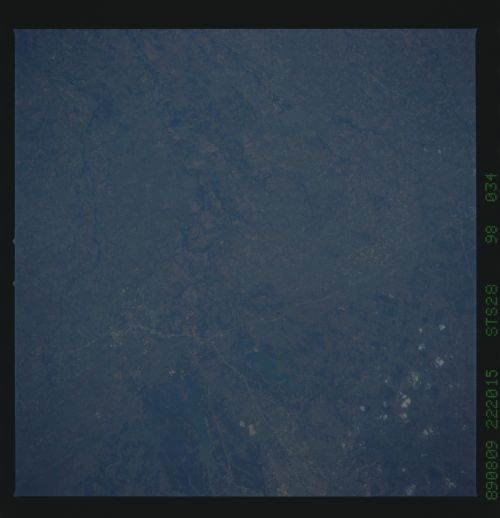
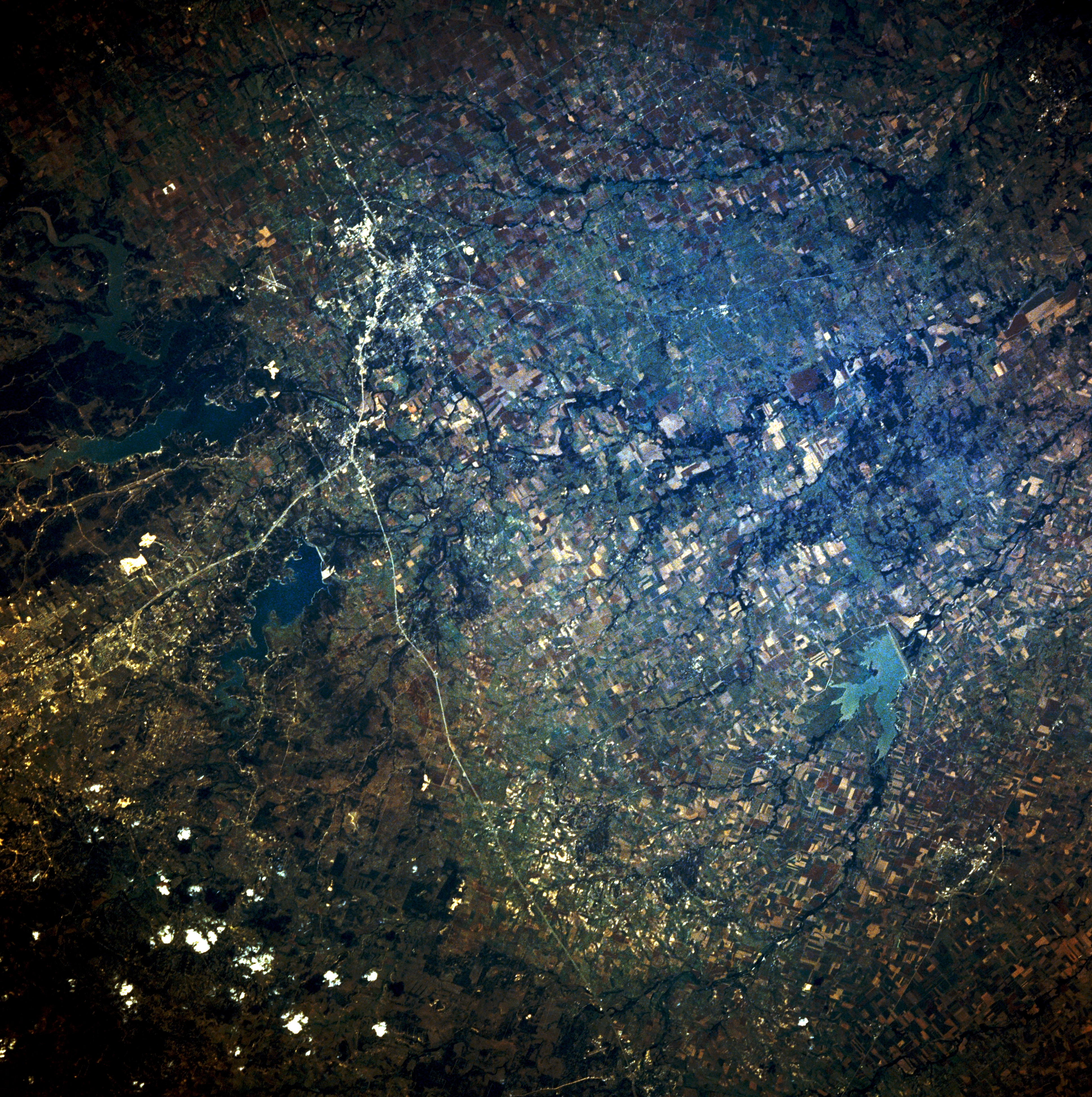
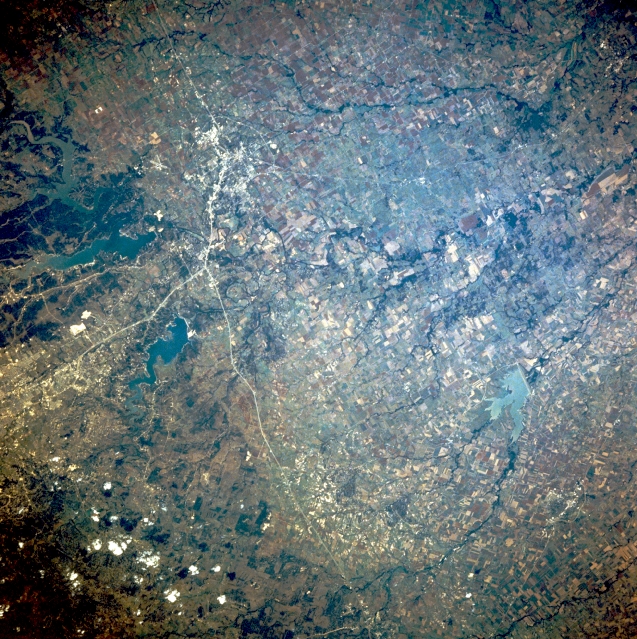
Image Caption: STS028-098-034 Temple, Texas, U.S.A. August 1989
Thin, linear Interstate Highway 35 (top to bottom) roughly shows the location of a dramatic geologic transition zone through this section of central Texas. West of this highway that generally parallels the Balcones escarpment, the landscape is one of uplifted limestone plateaus; east of the highway, the land becomes the grassy plains of the Black Prairie with numerous tree-lined tributaries flowing toward the Brazos River (not shown). East-west-aligned U.S. Highway 190 lies between Belton Lake (north) and Stillhouse Hollow Lake (south) and merges with Interstate Highway 35 at Belton. Northeast and southeast of this junction are Temple and Lake Granger, respectively.
Thin, linear Interstate Highway 35 (top to bottom) roughly shows the location of a dramatic geologic transition zone through this section of central Texas. West of this highway that generally parallels the Balcones escarpment, the landscape is one of uplifted limestone plateaus; east of the highway, the land becomes the grassy plains of the Black Prairie with numerous tree-lined tributaries flowing toward the Brazos River (not shown). East-west-aligned U.S. Highway 190 lies between Belton Lake (north) and Stillhouse Hollow Lake (south) and merges with Interstate Highway 35 at Belton. Northeast and southeast of this junction are Temple and Lake Granger, respectively.
