< ISS026-E-33645 >

| NASA Photo ID | ISS026-E-33645 |
| Focal Length | 800mm |
| Date taken | 2011.03.13 |
| Time taken | 01:44:41 GMT |
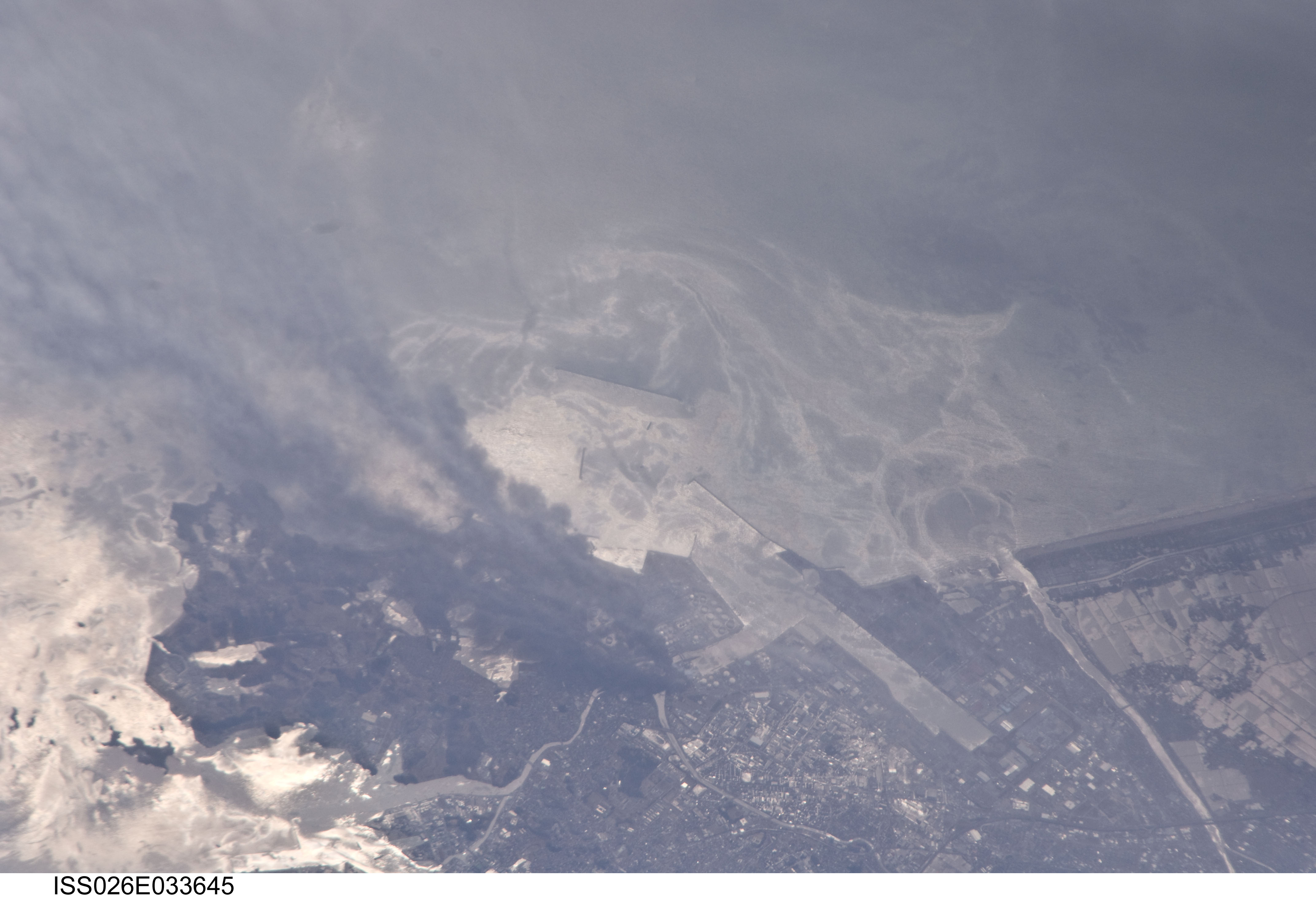


Spacecraft nadir point: 41.1° N, 140.7° E
Photo center point: 38.3° N, 141.1° E
Photo center point by machine learning:
Photo center point: 38.3° N, 141.1° E
Photo center point by machine learning:
Nadir to Photo Center: South
Spacecraft Altitude: 184 nautical miles (341km)
Country or Geographic Name: | JAPAN |
Features: | SUNGLINT, SHIOGAMA, PORT, FLOOD WATERS, OILS ON WATER SURFACE |
| Features Found Using Machine Learning: | |
Cloud Cover Percentage: | 10 (1-10)% |
Sun Elevation Angle: | 44° |
Sun Azimuth: | 158° |
Camera: | Nikon D2Xs Electronic Still Camera |
Focal Length: | 800mm |
Camera Tilt: | 43 degrees |
Format: | 4288E: 4288 x 2848 pixel CMOS sensor, RGBG imager color filter |
Film Exposure: | |
| Additional Information | |
| Width | Height | Annotated | Cropped | Purpose | Links |
|---|---|---|---|---|---|
| 4288 pixels | 2929 pixels | No | No | Download Image | |
| 640 pixels | 437 pixels | No | No | Download Image |
Download Packaged File
Download a Google Earth KML for this Image
View photo footprint information
No GeoTIFF is available for this photo.Image Caption: none
