< ISS028-E-33315 >

| NASA Photo ID | ISS028-E-33315 |
| Focal Length | 15mm |
| Date taken | 2011.08.19 |
| Time taken | 09:04:15 GMT |

Cloud masks available for this image:
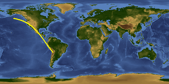
Spacecraft nadir point: 34.9° N, 114.0° W
Photo center point:
Photo center point by machine learning:
Photo center point:
Photo center point by machine learning:
Nadir to Photo Center:
Spacecraft Altitude: 203 nautical miles (376km)
Country or Geographic Name: | |
Features: | |
| Features Found Using Machine Learning: | LIGHTNING, PAN- |
Cloud Cover Percentage: | |
Sun Elevation Angle: | -38° |
Sun Azimuth: | 27° |
Camera: | NIKON D3S S/N: 2008336 |
Focal Length: | 15mm |
Camera Tilt: | |
Format: | |
Film Exposure: | |
| Additional Information | |
This photo is one of the photos used to create this time-lapse video:
| Width | Height | Annotated | Cropped | Purpose | Links |
|---|---|---|---|---|---|
| 4256 pixels | 2832 pixels | No | No | Download Image | |
| 640 pixels | 426 pixels | No | No | Download Image |
Download Packaged File
Download a Google Earth KML for this Image
View photo footprint information
No GeoTIFF is available for this photo.Image Caption: ISS028-E-033315 (19 Aug. 2011) --- City lights illuminate this night time view of southern California, Mexico's Baja California and the Gulf of Cortez, as photographed by one the Expedition 28 crew members onboard the International Space Station flying at altitude of approximately 220 miles. A 15-mm focal length was used to capture the time lapse image. The thin line of Earth's atmosphere is visible above the horizon.
