< STS042-82-33 >
| NASA Photo ID | STS042-82-33 |
| Focal Length | 250mm |
| Date taken | 1992.01.24 |
| Time taken | 00:21:26 GMT |
Cloud masks available for this image:
Spacecraft nadir point: 57.1° N, 164.2° W
Photo center point: 60.0° N, 166.0° W
Photo center point by machine learning:
Photo center point: 60.0° N, 166.0° W
Photo center point by machine learning:
Nadir to Photo Center: Northwest
Spacecraft Altitude: 161 nautical miles (298km)Body: Earth
Camera: | Hasselblad |
Focal Length: | 250mm |
Camera Tilt: | 52 degrees |
Format: | 5025: Kodak Ektachrome X Professional ASA 64 |
Film Exposure: | Normal |
| Additional Information | |
| Width | Height | Annotated | Cropped | Purpose | Links |
|---|---|---|---|---|---|
| 5700 pixels | 6000 pixels | No | No | Download Image | |
| 500 pixels | 526 pixels | No | No | Download Image | |
| 640 pixels | 480 pixels | No | No | Download Image |
Download Packaged File
Download a Google Earth KML for this Image
View photo footprint information
No GeoTIFF is available for this photo.Image Caption:
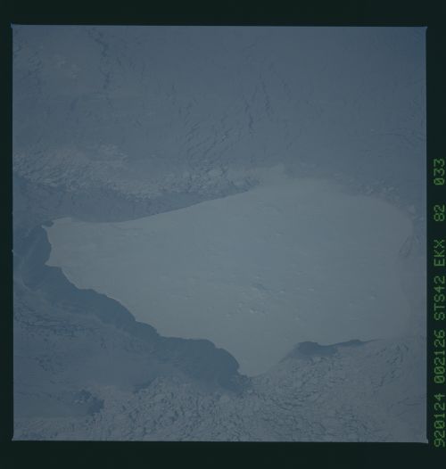
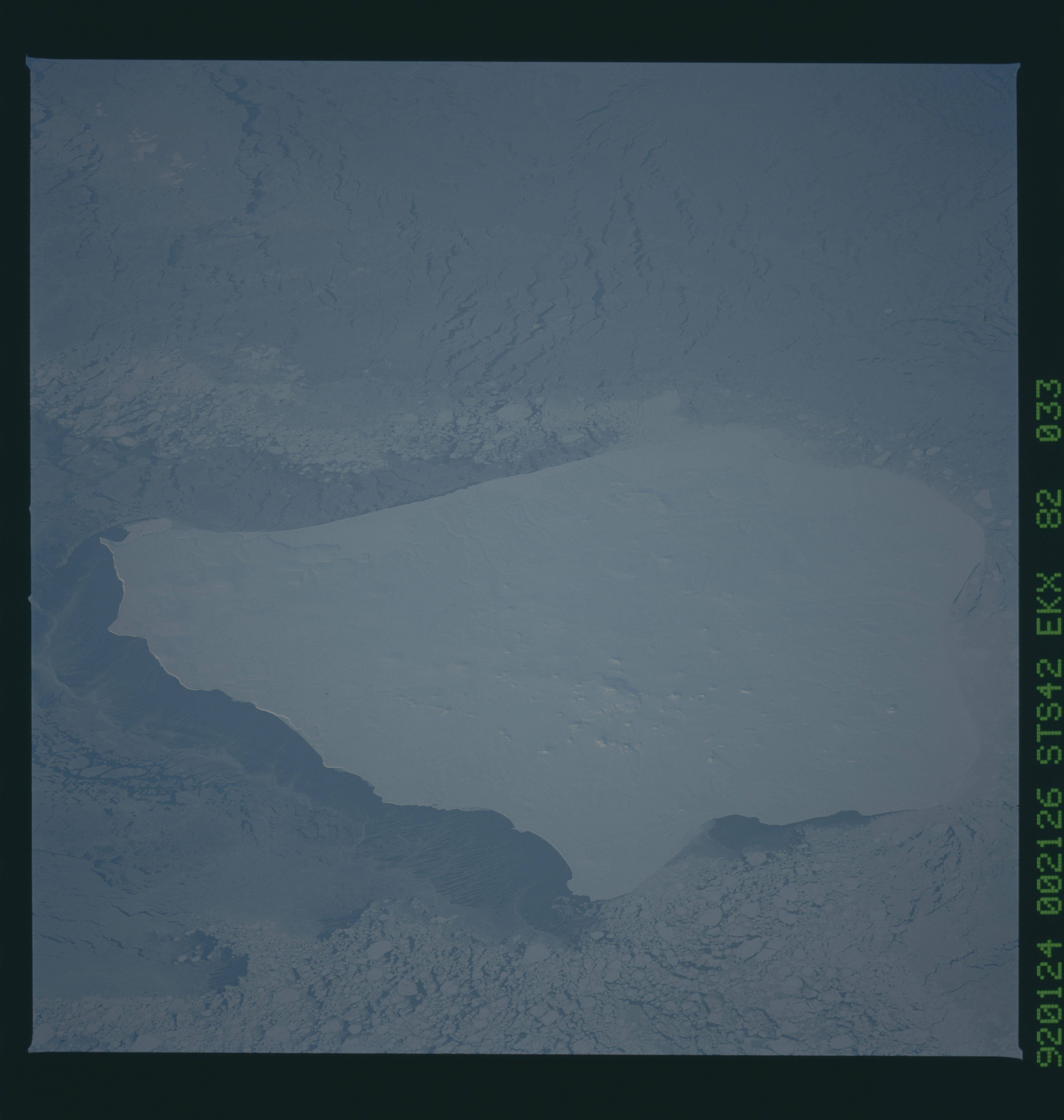
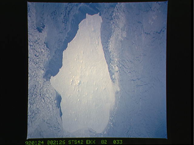
STS042-82-033 Nunivak Island, Alaska (60.0! N, 166.5! W)
This closeup view of Nunivak Island, Alaska, was taken on
24JJanuary at 00:21 GMT using a Hasselblad camera equipped with
natural color transparency film and a 250 mm lens. Near-
continuous and broken pack ice, white and light blue, appears to
be flowing in a westward direction past the island, likely driven
by a strong easterly wind. As the ice impinges upon the island, a
wake-like feature is produced in the ice field. The pack ice ap-
pears to build in thickness along the eastern shoreline as the
converging ice compresses. A thinner, less compacted area of sea
ice is evident along the lee (western) shore of the island. This
sea ice is a slightly darker blue than the pack ice. As the wind
pushes the sea ice and surface waters offshore and to the west of
the island, new sea ice is formed, producing long narrow fila-
ments of ice (dark blue) parallel to the direction of the wind.
STS042-82-033 Nunivak Island, Alaska (60.0! N, 166.5! W)
This closeup view of Nunivak Island, Alaska, was taken on
24JJanuary at 00:21 GMT using a Hasselblad camera equipped with
natural color transparency film and a 250 mm lens. Near-
continuous and broken pack ice, white and light blue, appears to
be flowing in a westward direction past the island, likely driven
by a strong easterly wind. As the ice impinges upon the island, a
wake-like feature is produced in the ice field. The pack ice ap-
pears to build in thickness along the eastern shoreline as the
converging ice compresses. A thinner, less compacted area of sea
ice is evident along the lee (western) shore of the island. This
sea ice is a slightly darker blue than the pack ice. As the wind
pushes the sea ice and surface waters offshore and to the west of
the island, new sea ice is formed, producing long narrow fila-
ments of ice (dark blue) parallel to the direction of the wind.

