< STS028-82-32 >
| NASA Photo ID | STS028-82-32 |
| Focal Length | 250mm |
| Date taken | 1989.08.09 |
| Time taken | 17:32:50 GMT |
Resolutions offered for this image:
3880 x 3904 pixels 636 x 639 pixels 5700 x 5900 pixels 500 x 518 pixels 640 x 480 pixels
3880 x 3904 pixels 636 x 639 pixels 5700 x 5900 pixels 500 x 518 pixels 640 x 480 pixels

Cloud masks available for this image:
Spacecraft nadir point: 55.4° N, 111.4° W
Photo center point: 57.0° N, 111.5° W
Photo center point by machine learning:
Photo center point: 57.0° N, 111.5° W
Photo center point by machine learning:
Nadir to Photo Center: North
Spacecraft Altitude: 161 nautical miles (298km)
Country or Geographic Name: | CANADA-A |
Features: | ATHABASCA RIVER |
| Features Found Using Machine Learning: | |
Cloud Cover Percentage: | 5 (1-10)% |
Sun Elevation Angle: | 44° |
Sun Azimuth: | 138° |
Camera: | Hasselblad |
Focal Length: | 250mm |
Camera Tilt: | Near Vertical |
Format: | 5017: Kodak, natural color positive, Ektachrome, X Professional, ASA 64, standard base |
Film Exposure: | Normal |
| Additional Information | |
| Width | Height | Annotated | Cropped | Purpose | Links |
|---|---|---|---|---|---|
| 3880 pixels | 3904 pixels | No | No | Earth From Space collection | Download Image |
| 636 pixels | 639 pixels | No | No | Earth From Space collection | Download Image |
| 5700 pixels | 5900 pixels | No | No | Download Image | |
| 500 pixels | 518 pixels | No | No | Download Image | |
| 640 pixels | 480 pixels | No | No | Download Image |
Download Packaged File
Download a Google Earth KML for this Image
View photo footprint information
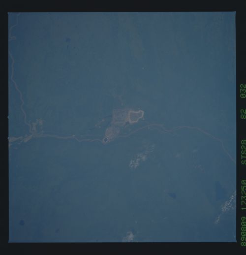
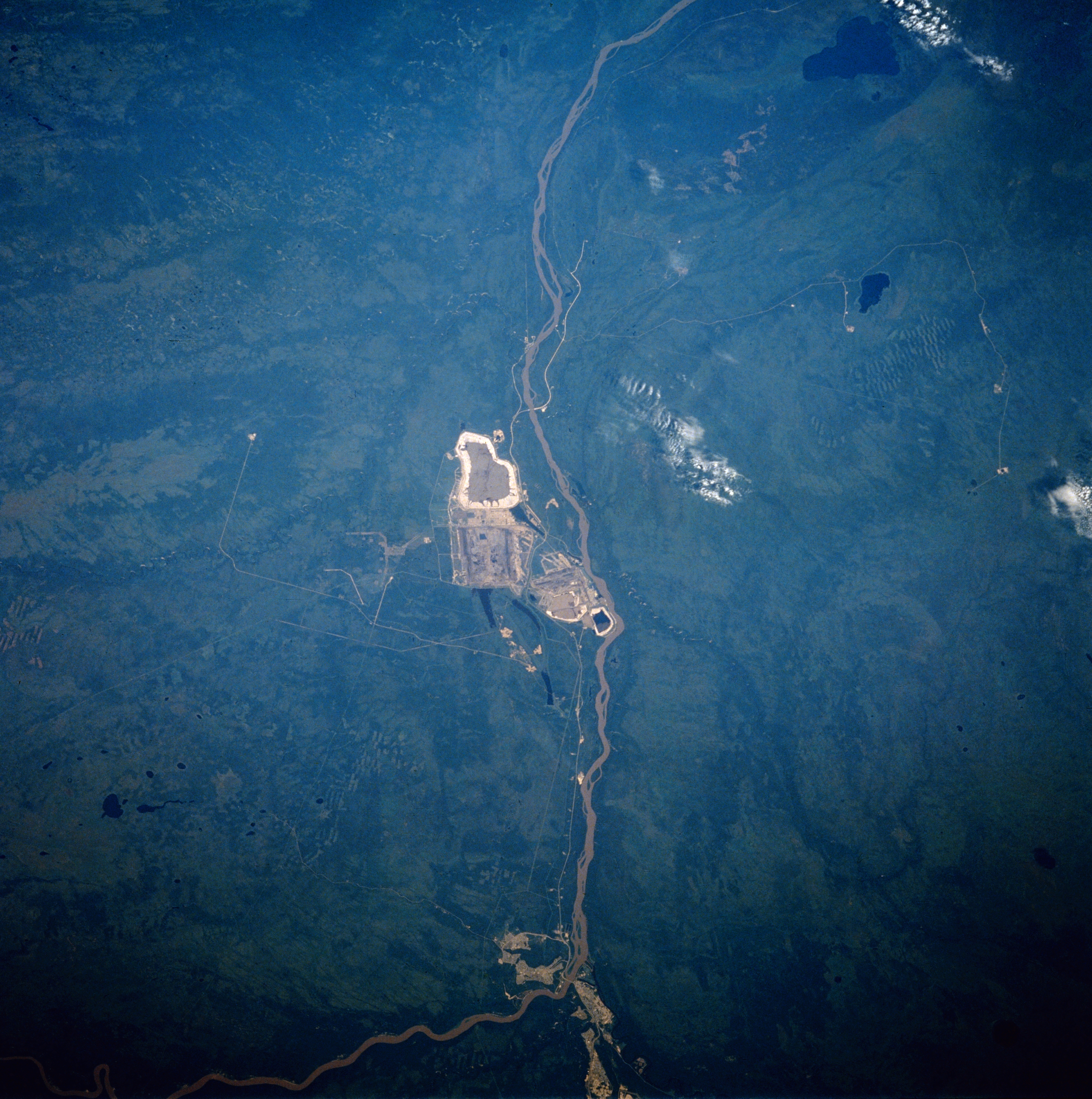
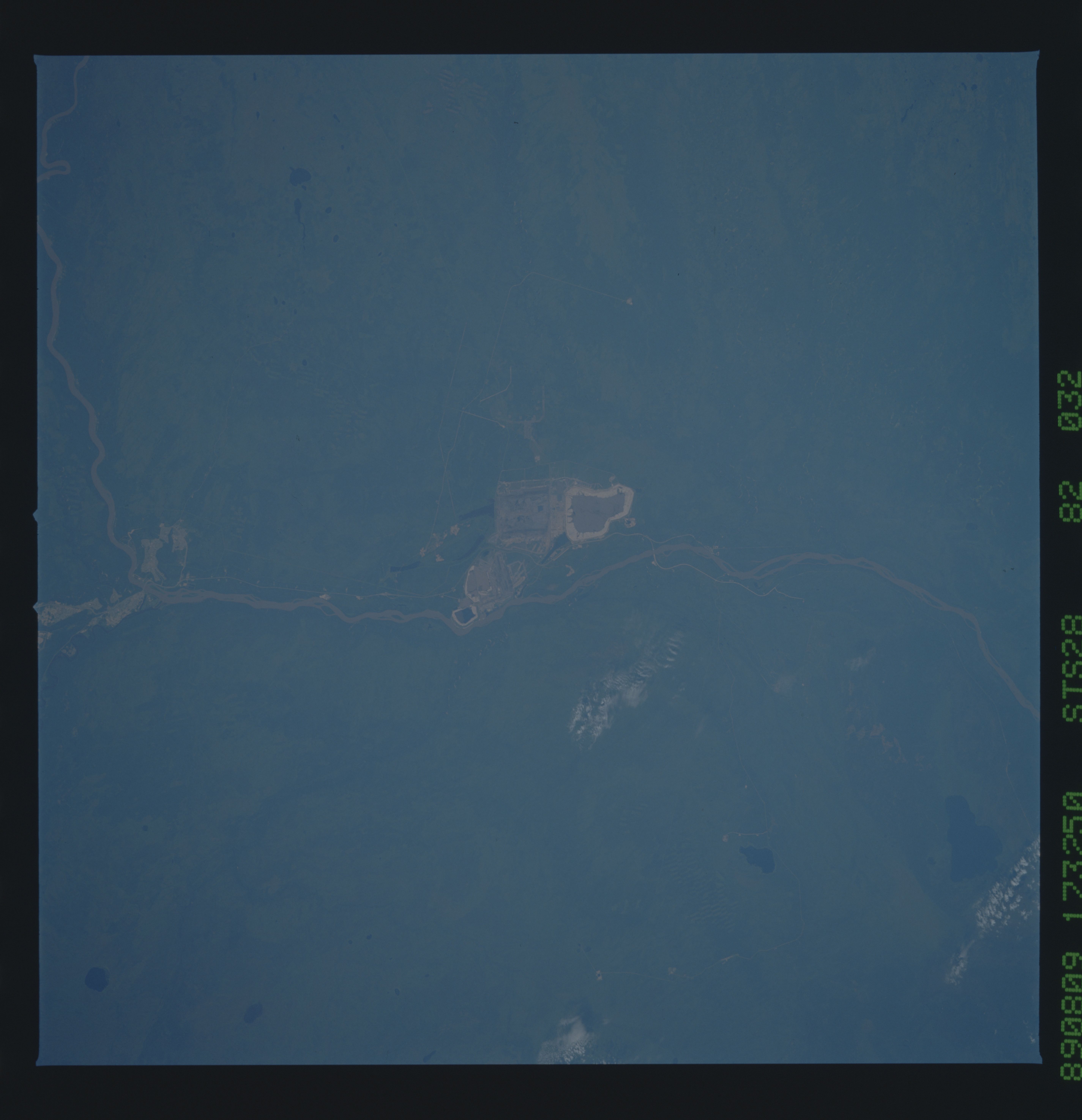
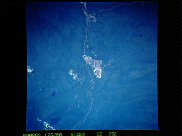
No GeoTIFF is available for this photo.Image Caption: STS028-082-032 Athabasca River, Alberta, Canada August 1989
The Athabasca River is visible as it flows northward across the boreal plain in northeast Alberta. The feature in the center of the image and along the western side of the Athabasca River is man made and is associated with the development of Athabasca oil sands. The location of Fort McMurray is identifiable near the bottom of the picture where the river makes a 90 degree turn (course change). The large dark feature near the top and east of the river is McClelland Lake and the smaller lake south of McClelland is Kearl Lake. Drainage patterns for several tributary streams can be identified in spite of dense vegetation in the undeveloped landscape.
The Athabasca River is visible as it flows northward across the boreal plain in northeast Alberta. The feature in the center of the image and along the western side of the Athabasca River is man made and is associated with the development of Athabasca oil sands. The location of Fort McMurray is identifiable near the bottom of the picture where the river makes a 90 degree turn (course change). The large dark feature near the top and east of the river is McClelland Lake and the smaller lake south of McClelland is Kearl Lake. Drainage patterns for several tributary streams can be identified in spite of dense vegetation in the undeveloped landscape.
