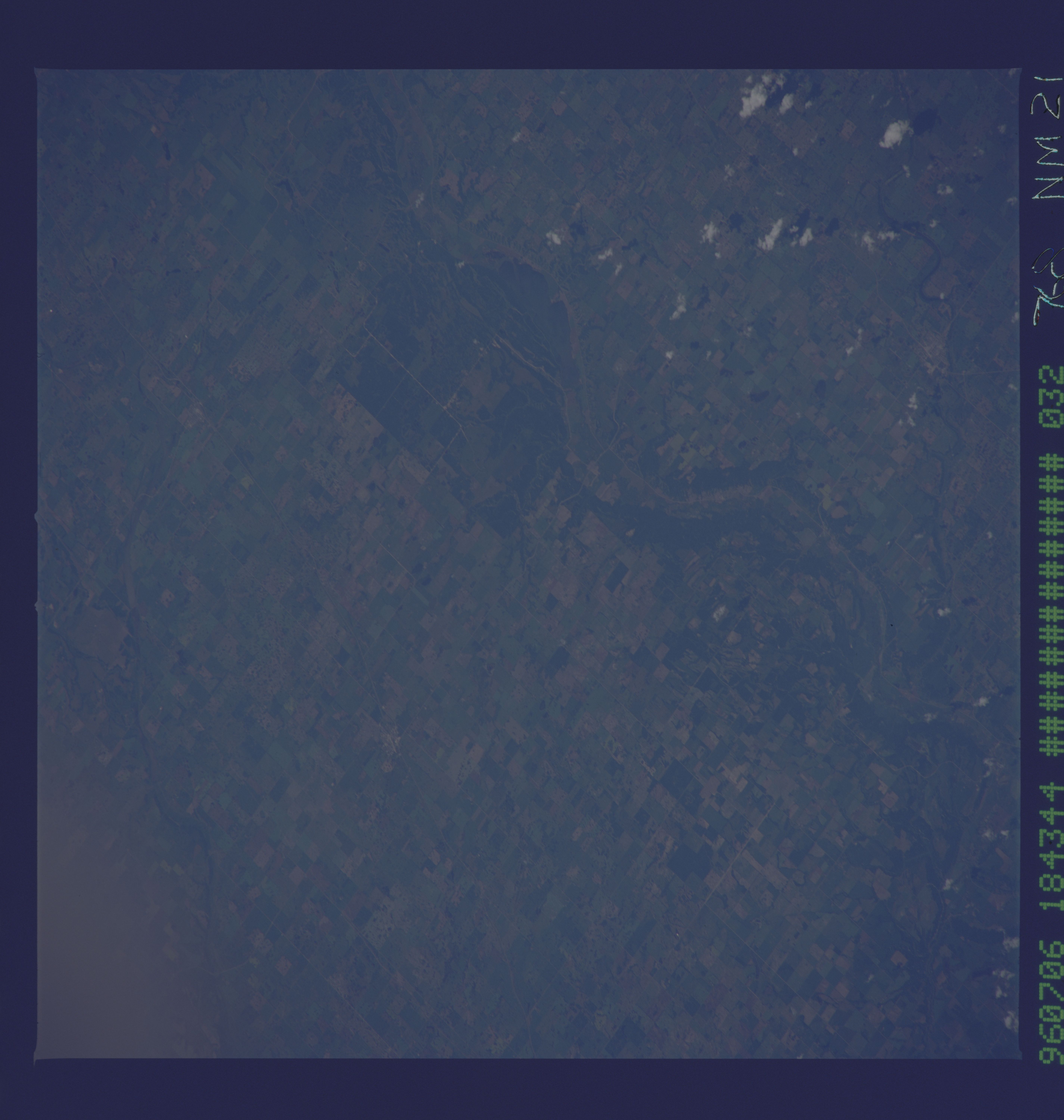
< NM21-768-32 >
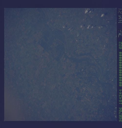
| NASA Photo ID | NM21-768-32 |
| Focal Length | 250mm |
| Date taken | 1996.07.06 |
| Time taken | 17:56:37 GMT |
Cloud masks available for this image:
Spacecraft nadir point: 50.0° N, 99.6° W
Photo center point: 50.0° N, 102.5° W
Photo center point by machine learning:
Photo center point: 50.0° N, 102.5° W
Photo center point by machine learning:
Nadir to Photo Center: West
Spacecraft Altitude: 207 nautical miles (383km)
Country or Geographic Name: | CANADA-S |
Features: | QU'APPEILLE RIVER, AGR. |
| Features Found Using Machine Learning: | |
Cloud Cover Percentage: | 5 (1-10)% |
Sun Elevation Angle: | 61° |
Sun Azimuth: | 157° |
Camera: | Hasselblad |
Focal Length: | 250mm |
Camera Tilt: | 40 degrees |
Format: | 5046: Kodak, natural color positive, Lumiere 100/5046, ASA 100, standard base |
Film Exposure: | Normal |
| Additional Information | |
| Width | Height | Annotated | Cropped | Purpose | Links |
|---|---|---|---|---|---|
| 5700 pixels | 6000 pixels | No | No | Download Image | |
| 500 pixels | 526 pixels | No | No | Download Image |
Download Packaged File
Download a Google Earth KML for this Image
View photo footprint information
No GeoTIFF is available for this photo.Image Caption: none
