< AS09-20-3174 >
| NASA Photo ID | AS09-20-3174 |
| Focal Length | 80mm |
| Date taken | 1969.03.13 |
| Time taken | GMT |
Cloud masks available for this image:
Spacecraft nadir point:
Photo center point: 30.7° N, 121.4° E
Photo center point by machine learning:
Photo center point: 30.7° N, 121.4° E
Photo center point by machine learning:
Nadir to Photo Center:
Spacecraft Altitude: nautical miles (0km)
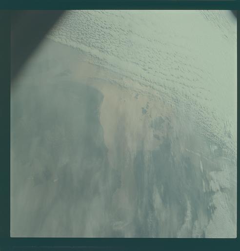
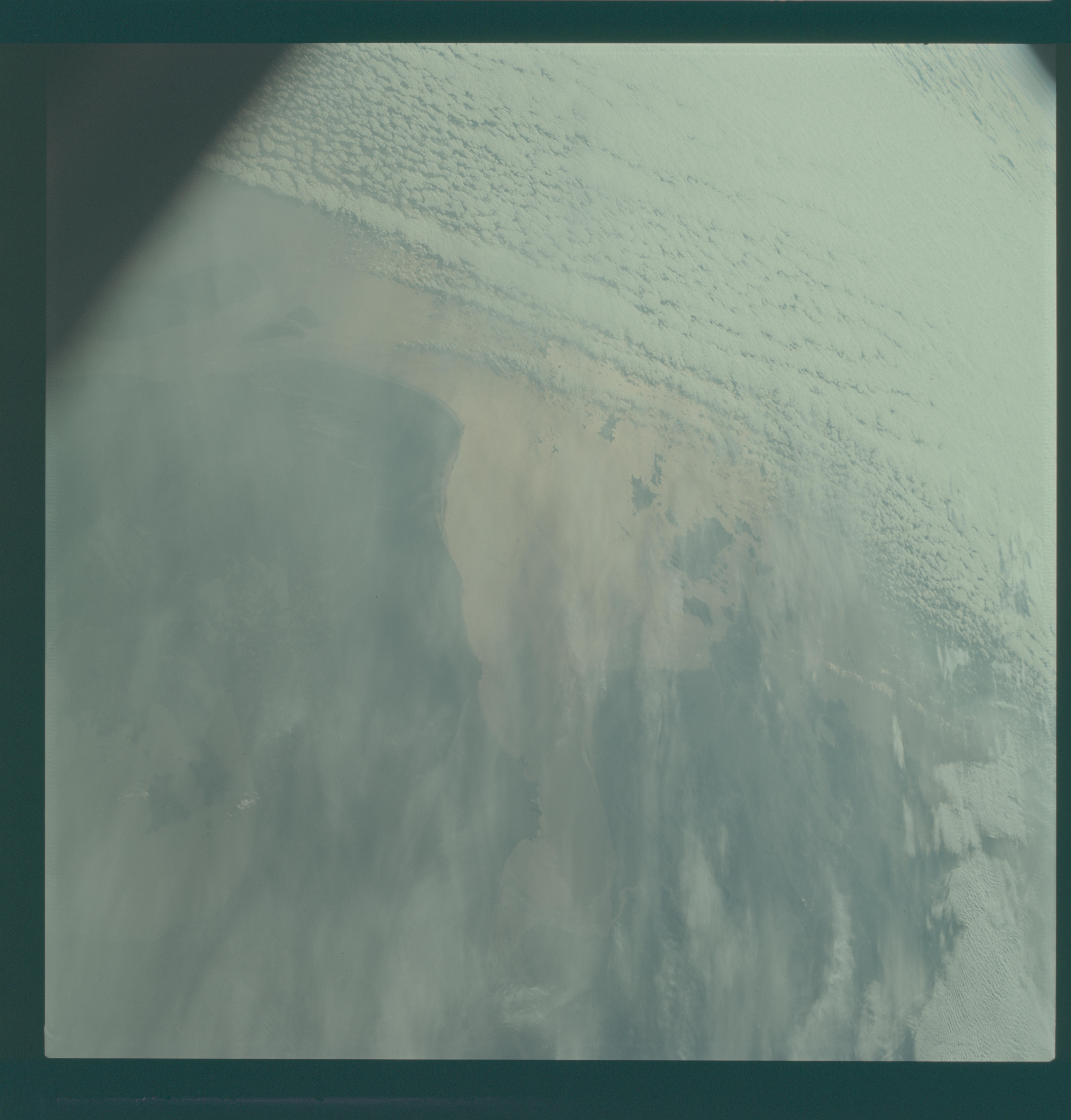
Country or Geographic Name: | CHINA |
Features: | HANGCHOU BAY, HAZY, DARK |
| Features Found Using Machine Learning: | |
Cloud Cover Percentage: | 50 (26-50)% |
Sun Elevation Angle: | ° |
Sun Azimuth: | ° |
Camera: | Hasselblad |
Focal Length: | 80mm |
Camera Tilt: | High Oblique |
Format: | SO368: Kodak Ektachrome MS, equivalent to 2448 Kodak Aerochrome, ASA64, thin base, fine grain |
Film Exposure: | Under Exposed |
| Additional Information | |
| Width | Height | Annotated | Cropped | Purpose | Links |
|---|---|---|---|---|---|
| 4400 pixels | 4600 pixels | No | No | Download Image | |
| 492 pixels | 515 pixels | No | No | Download Image |
Download Packaged File
Download a Google Earth KML for this Image
View photo footprint information
No GeoTIFF is available for this photo.Image Caption: GEOGRAPHY/CARTOGRAPHY:CHINA, CHEKIANG PROVINCE, HANGCHOU BAY, LAKE HU, MOUTH OF YANGTZE RIVER, CITIES OF HANGHAI, HANGCHOU, AND NINGPO.
GEOLOGY/HYDROLOGY: SHORELINE OF EMERGENCE AND SEDIMENTATION OUTFLOW OF THE DELTA FROM THE COASTAL PLAIN.
METEOROLOGY: ALTO-CUMULUS, STRATO-CUMULUS, CIRRUS FIVRATUS.
GEOLOGY/HYDROLOGY: SHORELINE OF EMERGENCE AND SEDIMENTATION OUTFLOW OF THE DELTA FROM THE COASTAL PLAIN.
METEOROLOGY: ALTO-CUMULUS, STRATO-CUMULUS, CIRRUS FIVRATUS.
