< NM21-768-31 >
| NASA Photo ID | NM21-768-31 |
| Focal Length | 250mm |
| Date taken | 1996.07.06 |
| Time taken | 17:55:52 GMT |
Resolutions offered for this image:
3904 x 3904 pixels 639 x 639 pixels 5700 x 6000 pixels 500 x 526 pixels
3904 x 3904 pixels 639 x 639 pixels 5700 x 6000 pixels 500 x 526 pixels
Cloud masks available for this image:
Spacecraft nadir point: 49.1° N, 103.7° W
Photo center point: 50.5° N, 104.5° W
Photo center point by machine learning:
Photo center point: 50.5° N, 104.5° W
Photo center point by machine learning:
Nadir to Photo Center: Northwest
Spacecraft Altitude: 207 nautical miles (383km)
Country or Geographic Name: | CANADA-S |
Features: | REGINA, AGRICULTURE |
| Features Found Using Machine Learning: | |
Cloud Cover Percentage: | 5 (1-10)% |
Sun Elevation Angle: | 61° |
Sun Azimuth: | 149° |
Camera: | Hasselblad |
Focal Length: | 250mm |
Camera Tilt: | 25 degrees |
Format: | 5046: Kodak, natural color positive, Lumiere 100/5046, ASA 100, standard base |
Film Exposure: | Normal |
| Additional Information | |
| Width | Height | Annotated | Cropped | Purpose | Links |
|---|---|---|---|---|---|
| 3904 pixels | 3904 pixels | No | No | Earth From Space collection | Download Image |
| 639 pixels | 639 pixels | No | No | Earth From Space collection | Download Image |
| 5700 pixels | 6000 pixels | No | No | Download Image | |
| 500 pixels | 526 pixels | No | No | Download Image |
Download Packaged File
Download a Google Earth KML for this Image
View photo footprint information
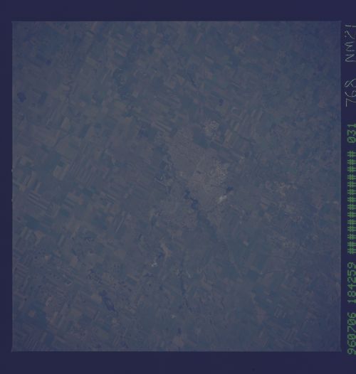
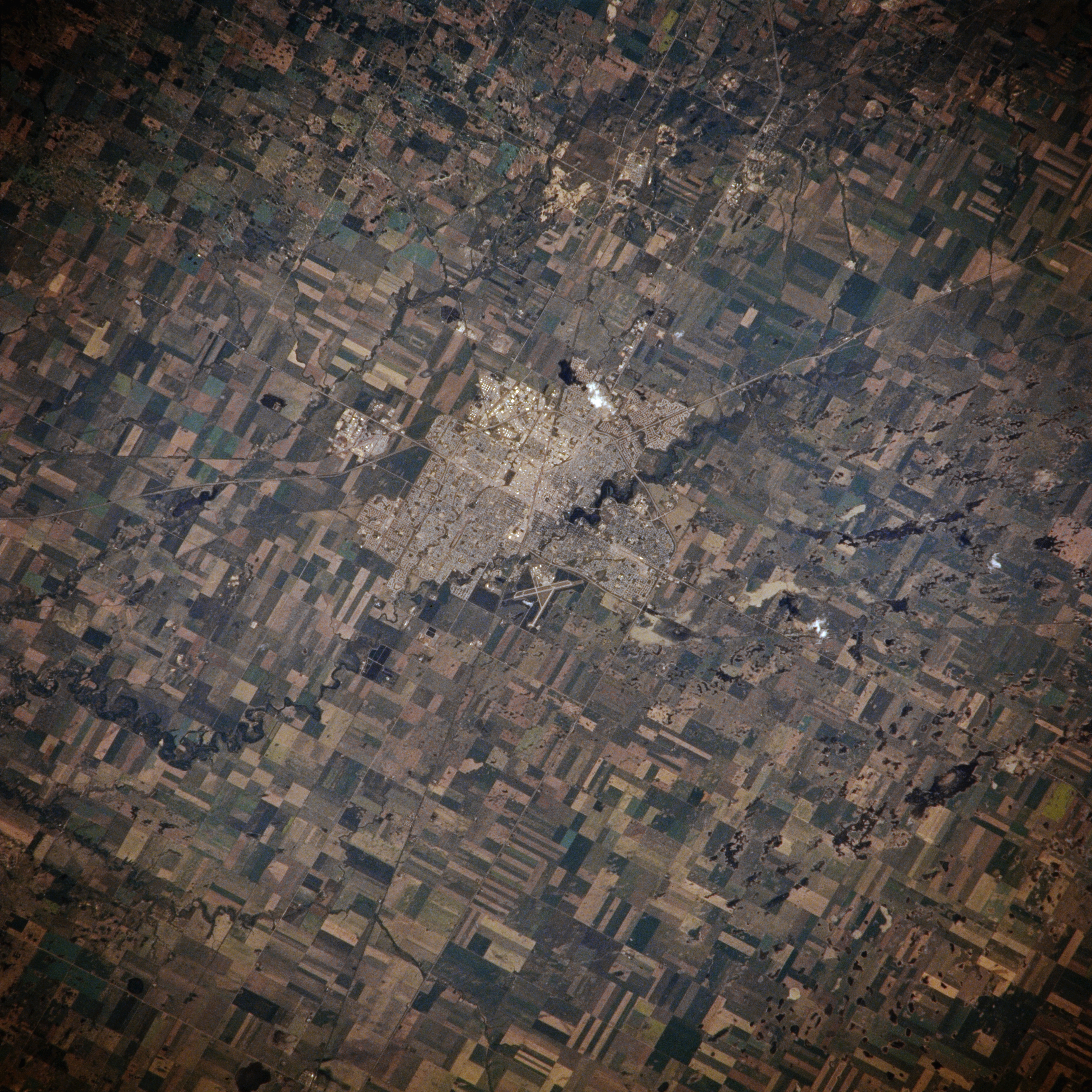
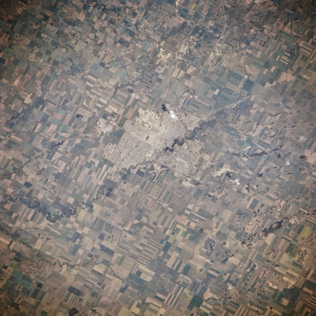
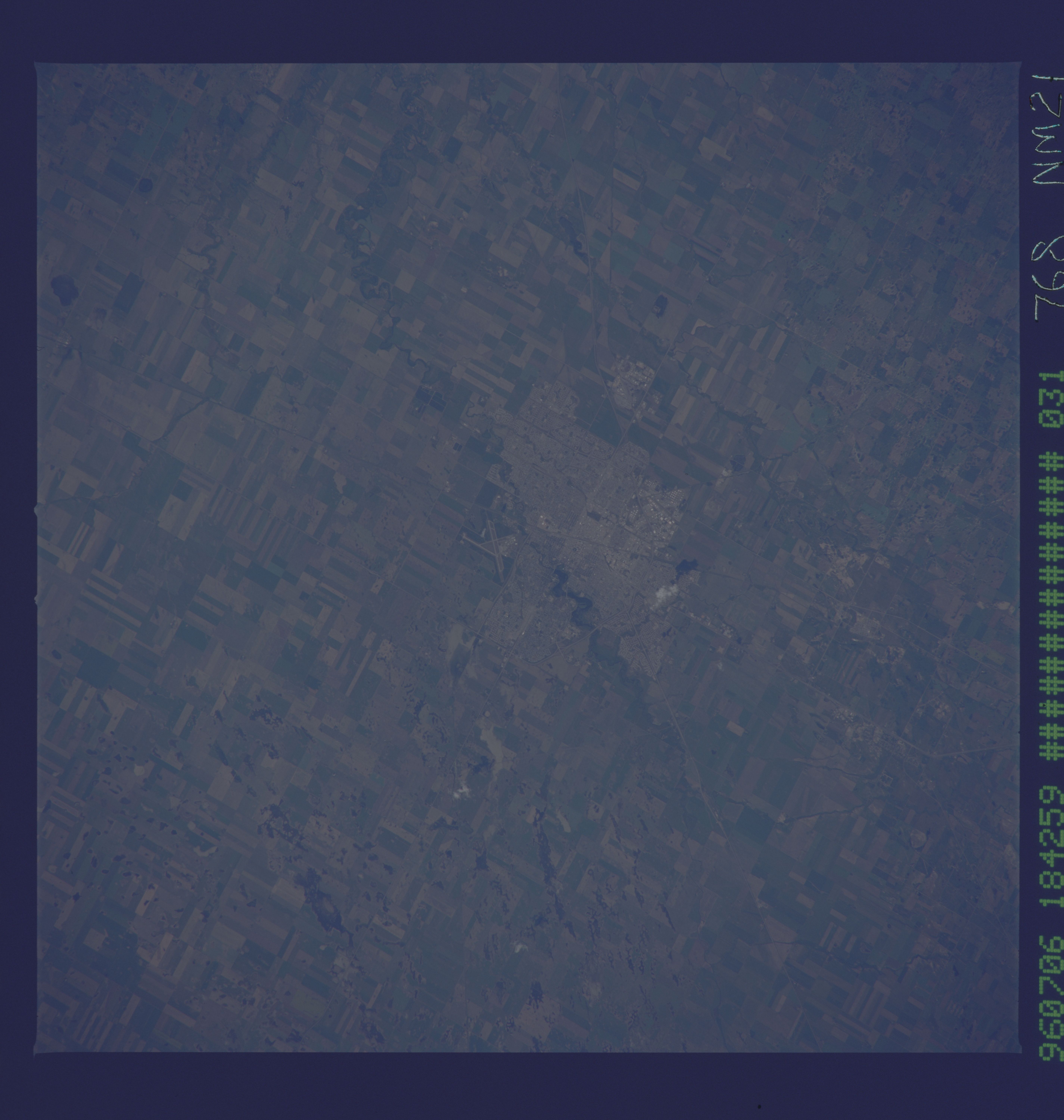
No GeoTIFF is available for this photo.Image Caption: NM21-768-031 Regina, Saskatchewan, Canada Spring/Summer 1996
Located in the south central part of the province, Regina has developed as a service center for the vast agricultural industry that has taken root in this section of the northern Great Plains of Northern America. The large, angular looking, cultivated fields where a number of grain crops are grown, mainly spring wheat, are visible throughout the agricultural landscape. The Wascana River winds its way through the city in a northwest-southeast orientation and the runway of Regina Airport is visible along the southwest side of the city.
Located in the south central part of the province, Regina has developed as a service center for the vast agricultural industry that has taken root in this section of the northern Great Plains of Northern America. The large, angular looking, cultivated fields where a number of grain crops are grown, mainly spring wheat, are visible throughout the agricultural landscape. The Wascana River winds its way through the city in a northwest-southeast orientation and the runway of Regina Airport is visible along the southwest side of the city.
